Doi Inthanon, the tip of Thailand
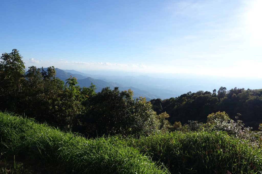
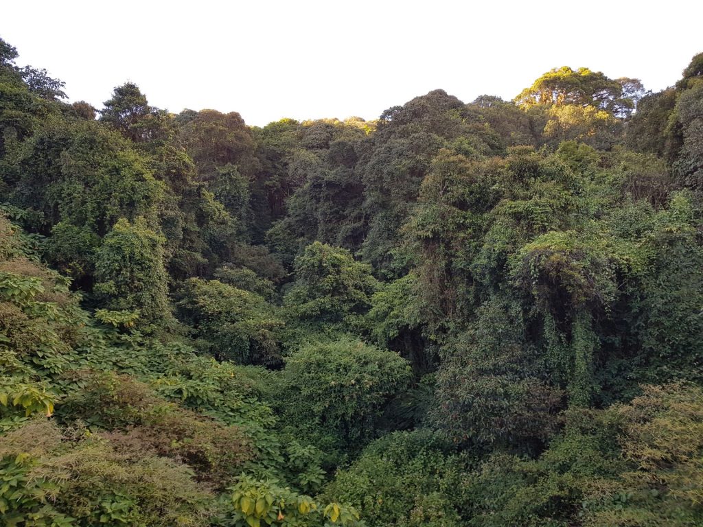
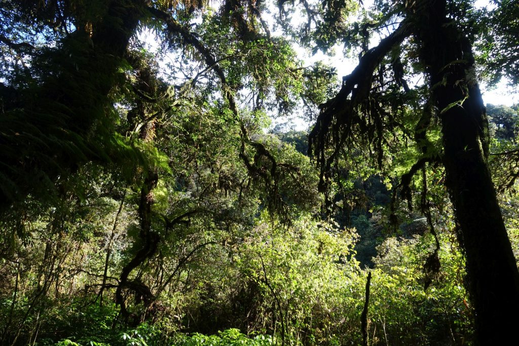
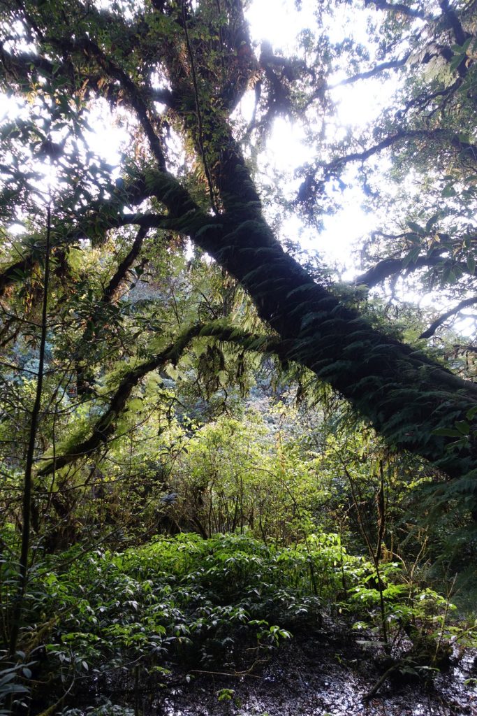
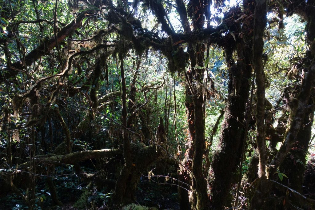
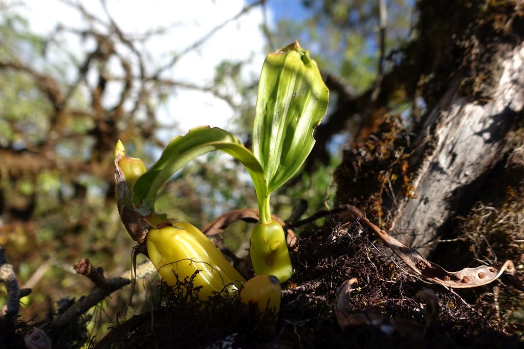
Doi Intanon is Thailand’s highest mountain at 2,565 meters. It’s located in the national reserve of the same name in the north of the country. Here you will find many waterfalls, an extraordinary tropical forest, local villages with rice plantations and much more.
The reserve is relatively close to the city of Chang Mai (70 km), in the north of the country where we stayed, so for us this was an all-day trip. We rented a car, but you can get to the park by public transport (but with a couple of transfers), or use the services of a tour operator. However, the territory of the reserve is huge, so with your own transport you can see a lot more, and avoid crowds.
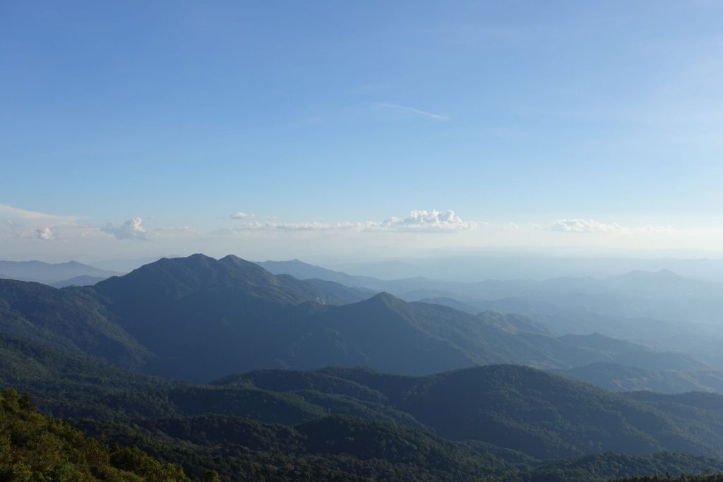
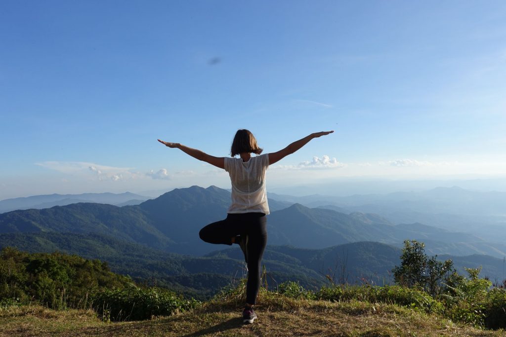
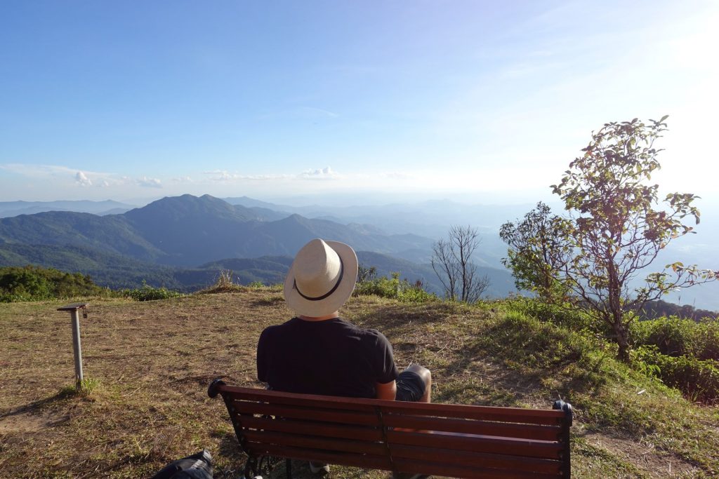
2 565 meters above sea level
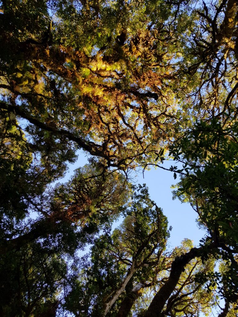
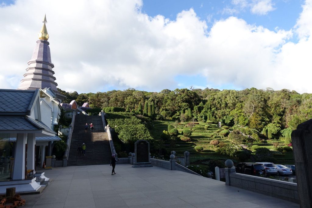
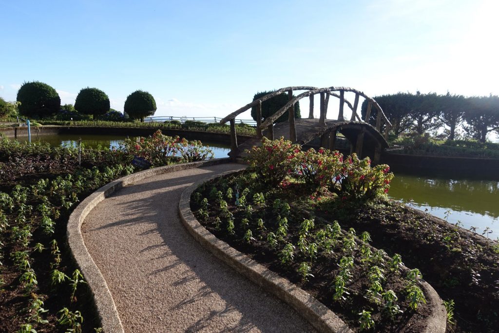
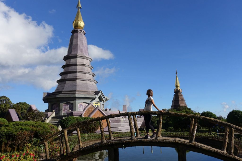
At the top of the mountain, you can visit a park with two temples, which were built in honor of the King and Queen of Thailand.
The picture below is a 360 photo, click and drag to look around, scroll to zoom!
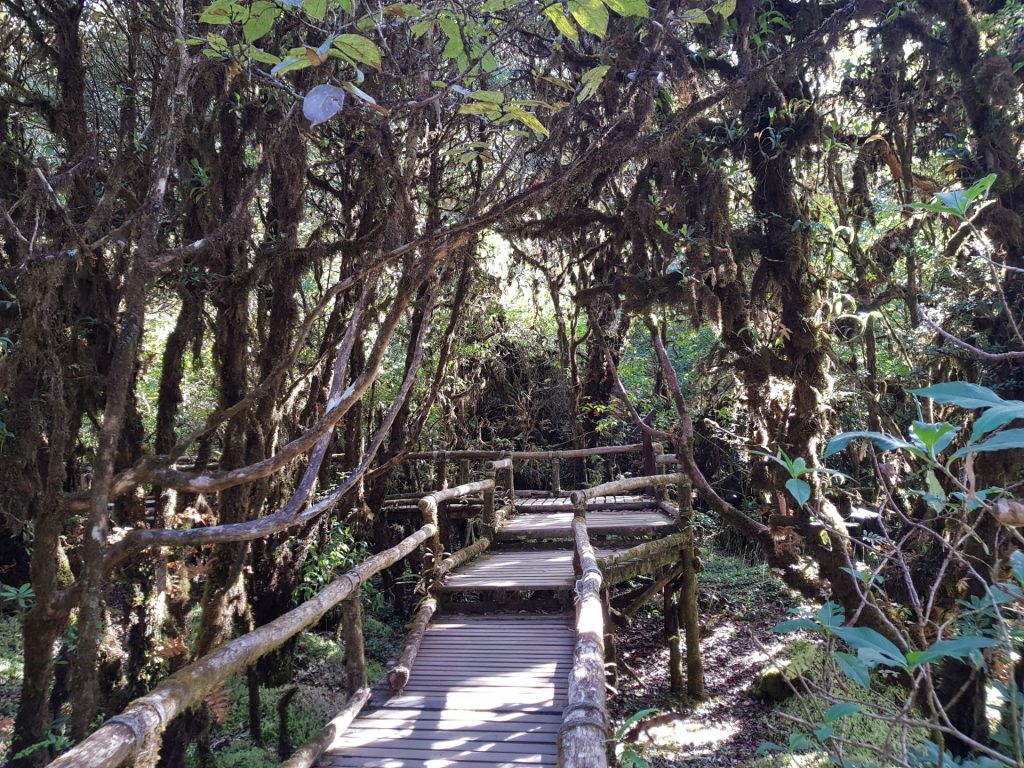
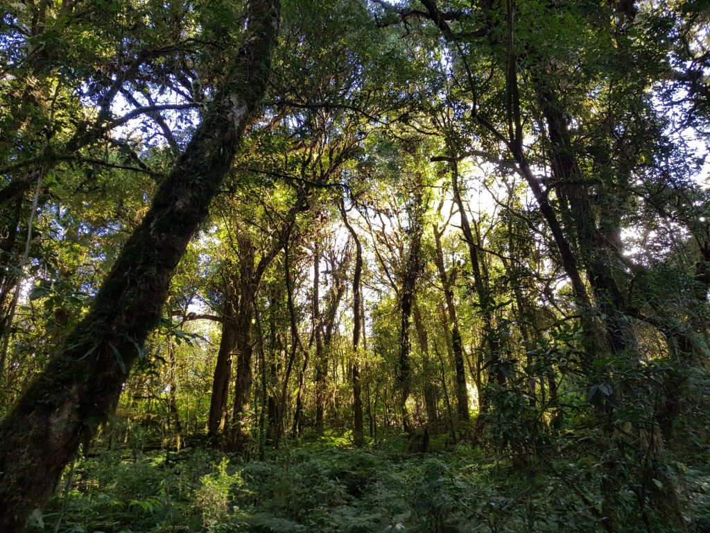
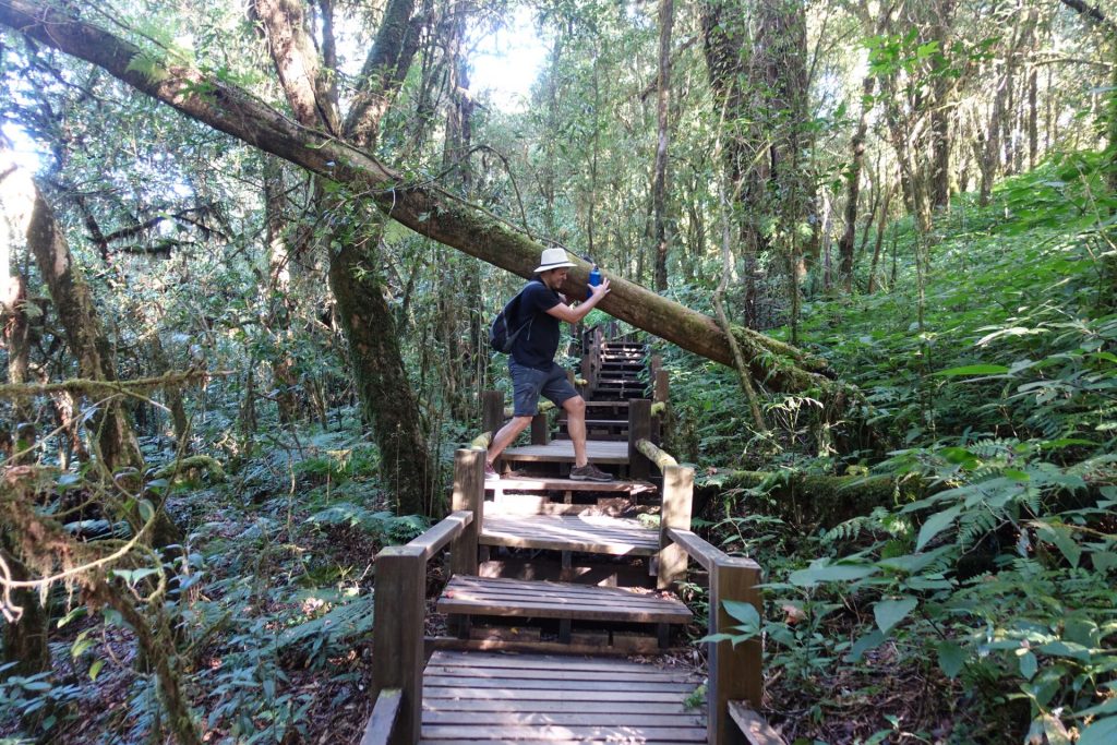
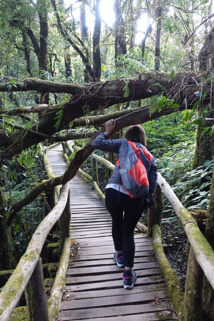
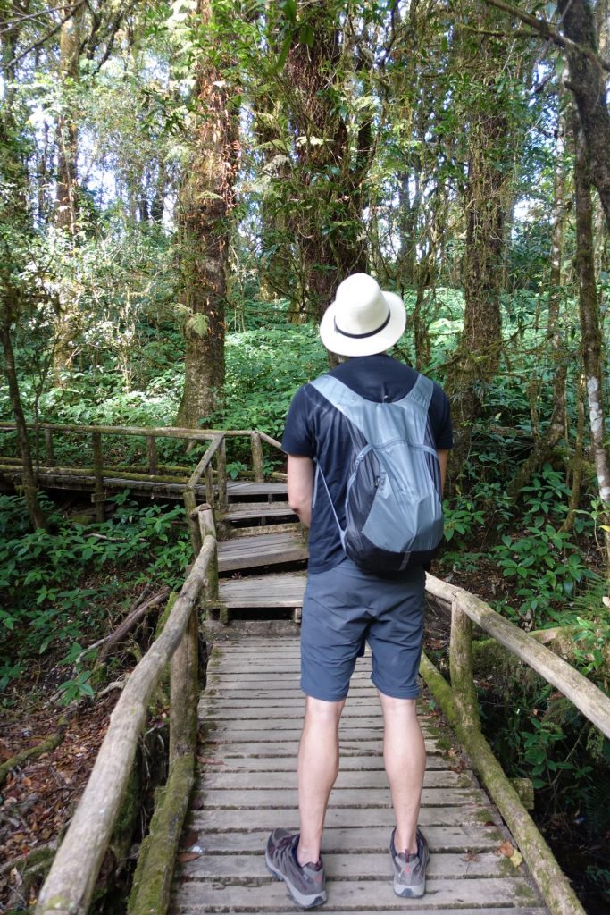
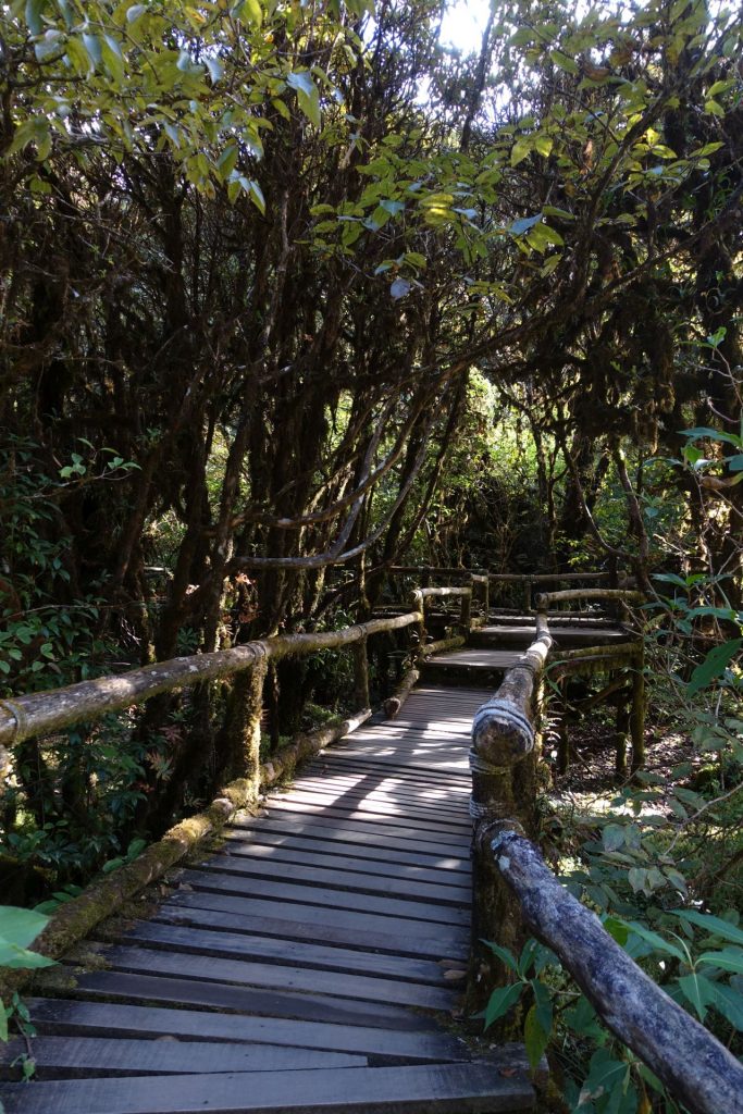
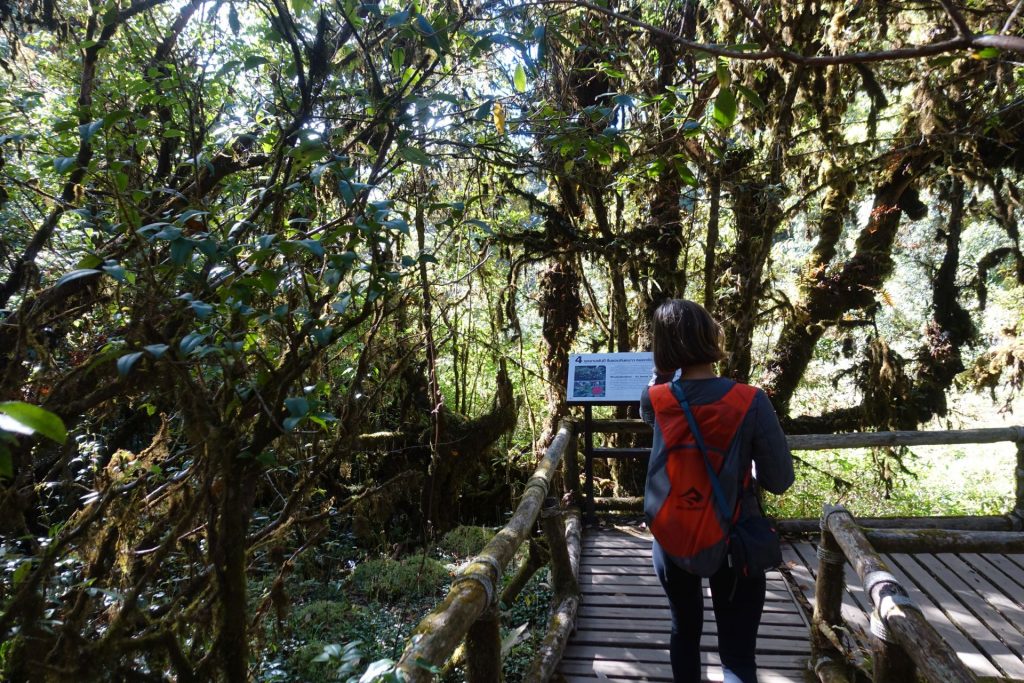
For hiking lovers, on the way to the top there are a couple of jungle trekkings. One simpler, the Ang Ka Nature Trail, and the second is the Kew Mae Pan (a guide is required), but unfortunately we did not have time for it.
The picture below is a 360 photo, click and drag to look around, scroll to zoom!
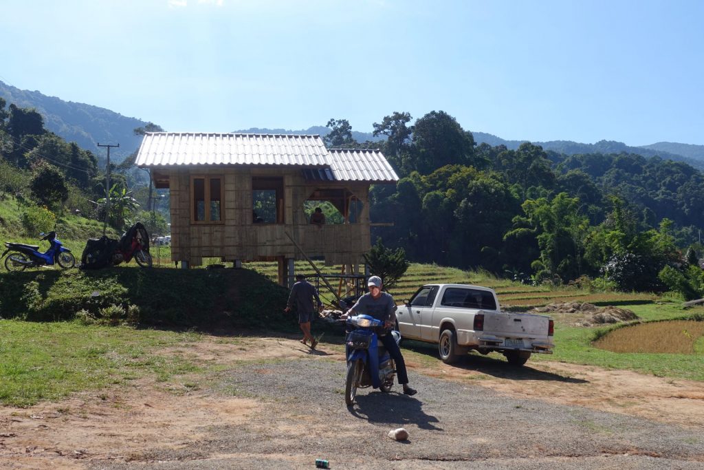
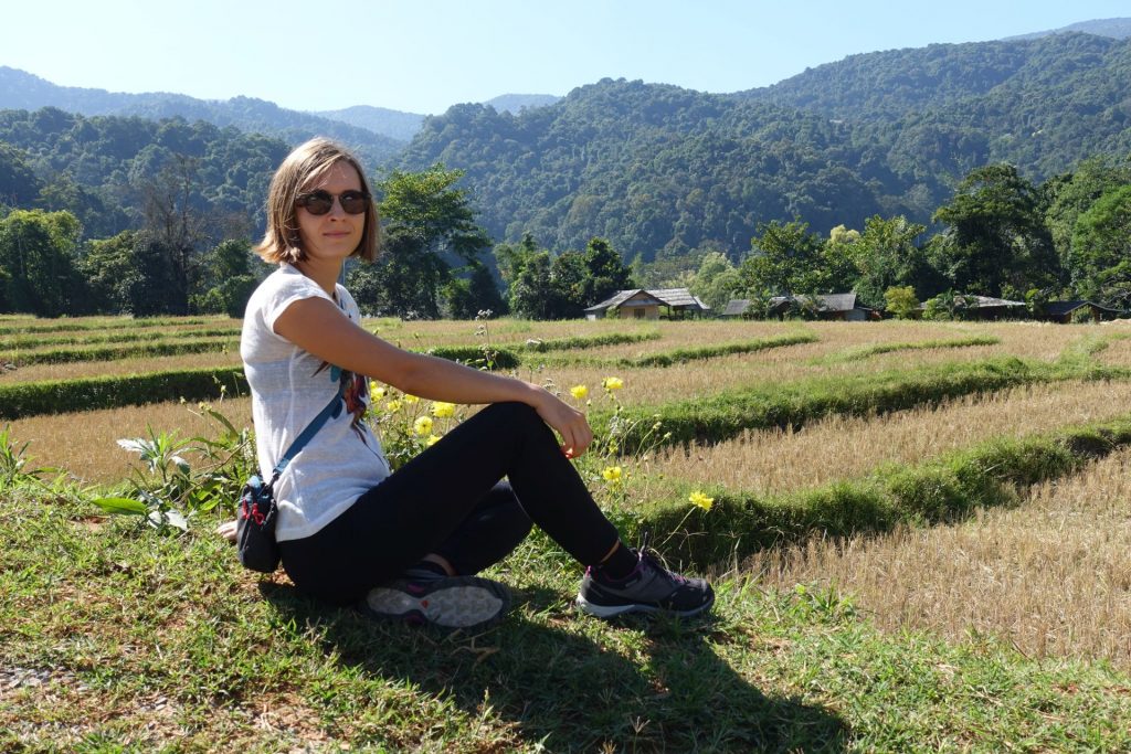
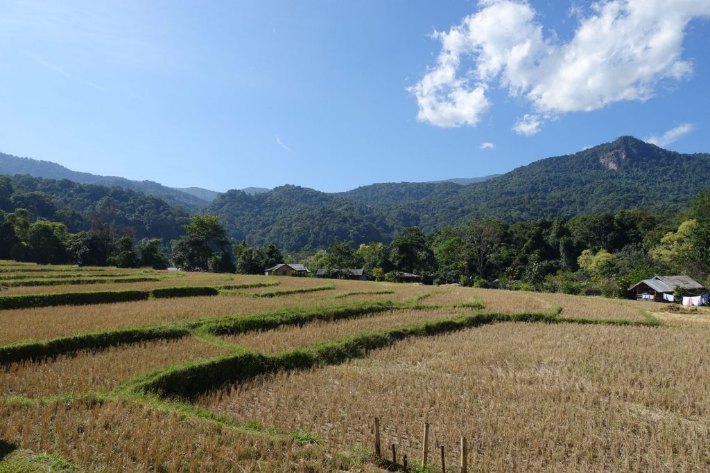
On the way to the top, we encountered a small village, with rice fields. Judging by the newly built wooden houses, you can easily stay here for the night (expensively!), and enjoy the starry sky without interfering with the city lights. It’s no coincidence that the Thai National Observatory is located on Doi Inthanon.
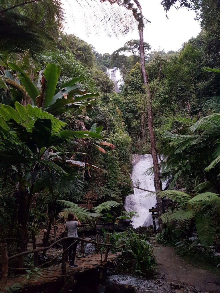
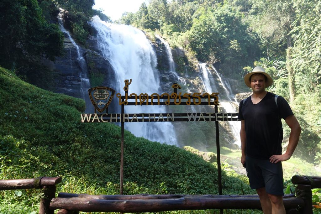
The most amazing part for us were the waterfalls!!! There are a couple of them here, but we only checked two of them, which was impressive enough.
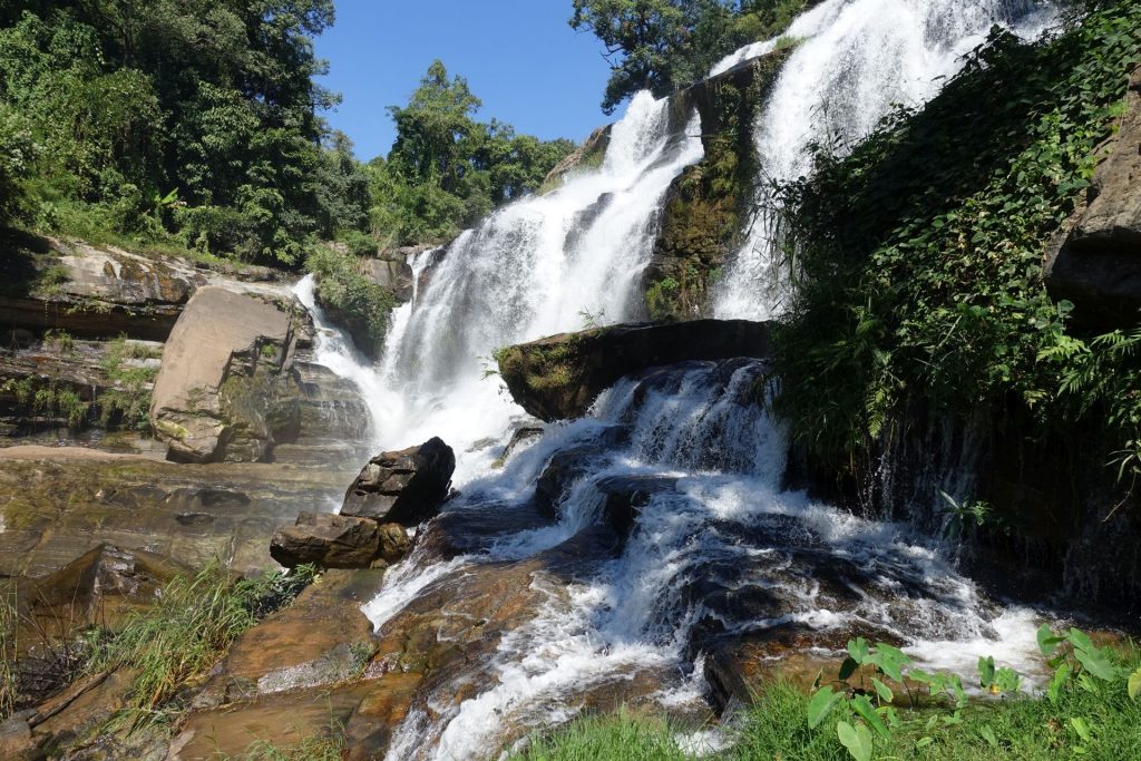
Mae Klang Waterfall
The picture below is a 360 photo, click and drag to look around, scroll to zoom!
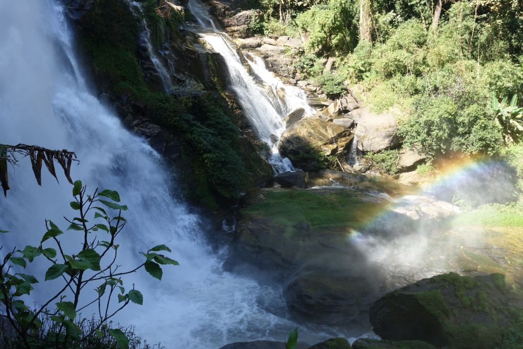
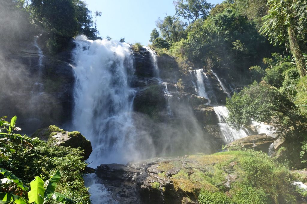
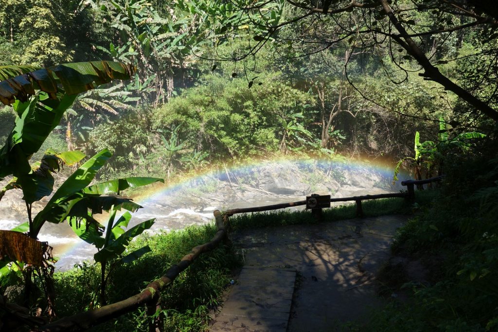
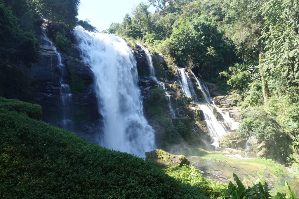
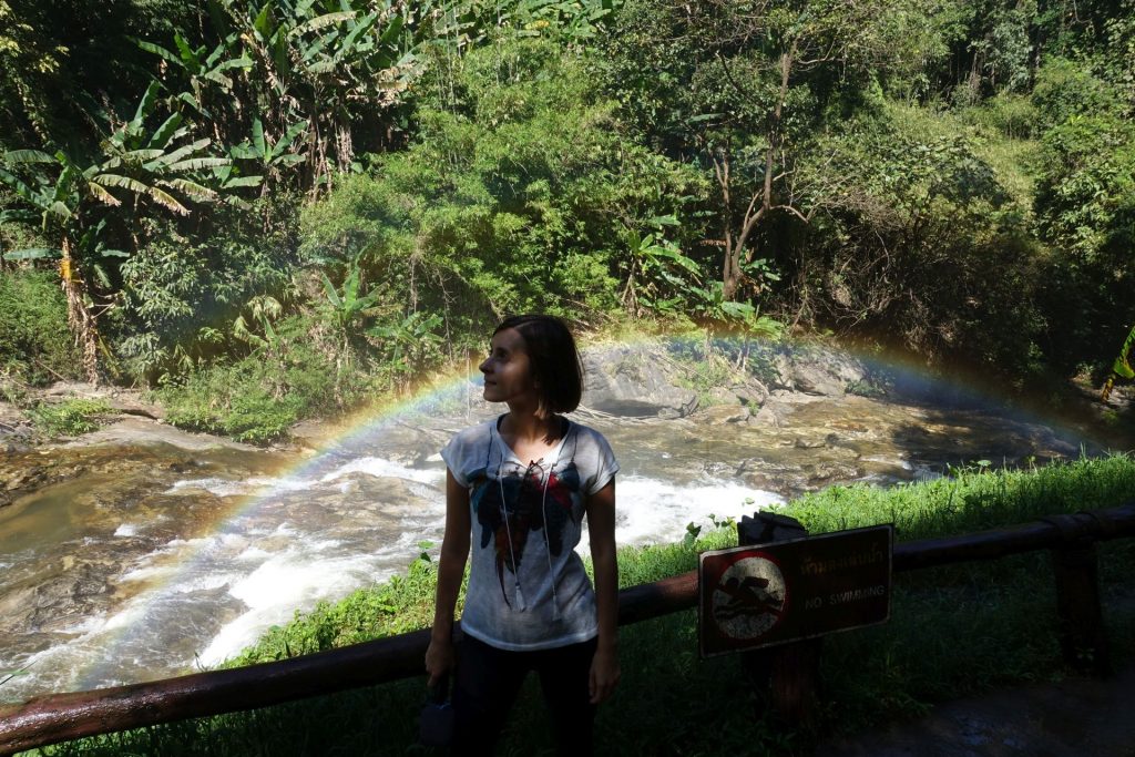
Most of all we were impressed by Wachirathan Falls, greeting us with a sea of spray and a rainbow.
The picture below is a 360 photo, click and drag to look around, scroll to zoom!
