Peru, impressive Machu Picchu
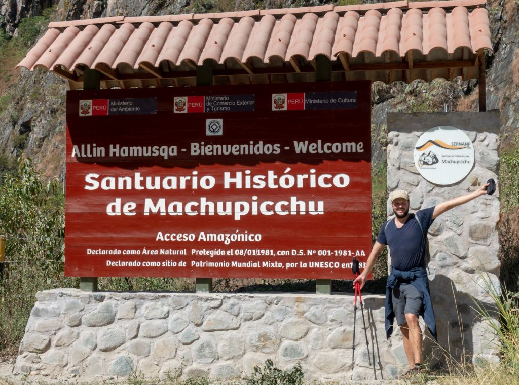
A visit to Peru would not be complete without seeing Machu Picchu, the ancient Inca city, located high in the Andes at 2 430m above sea level. This UNESCO World Heritage site is often referred to as “The Lost City of the Incas”, built somewhere in 15th century.
The starting point to go to Machu Picchu is Cuzco, accessible by bus or plane, then Aguas calientes, and from there up the mountain to the ruins (by bus or on foot).
There are a few ways to reach Aguas Calientes. Most tourists either hike the Inca Trail (expensive and should be reserved many months in advance), others take an alternative hiking route, or go by train or car (fast, but very expensive options).
We chose an alternative hike, the Salkantay trek, that we were able to book just a couple of days in advance before the departure with Machu picchu reservations. It is also possible to hike this trail by yourself if you have enough experience.
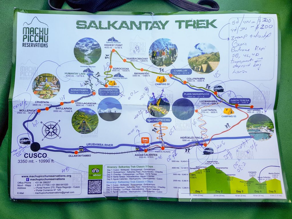
We paid 210 USD per person for 5 days (including entrance to Machu Picchu, transportation, food, accomodation etc).
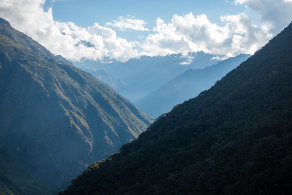
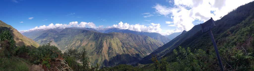
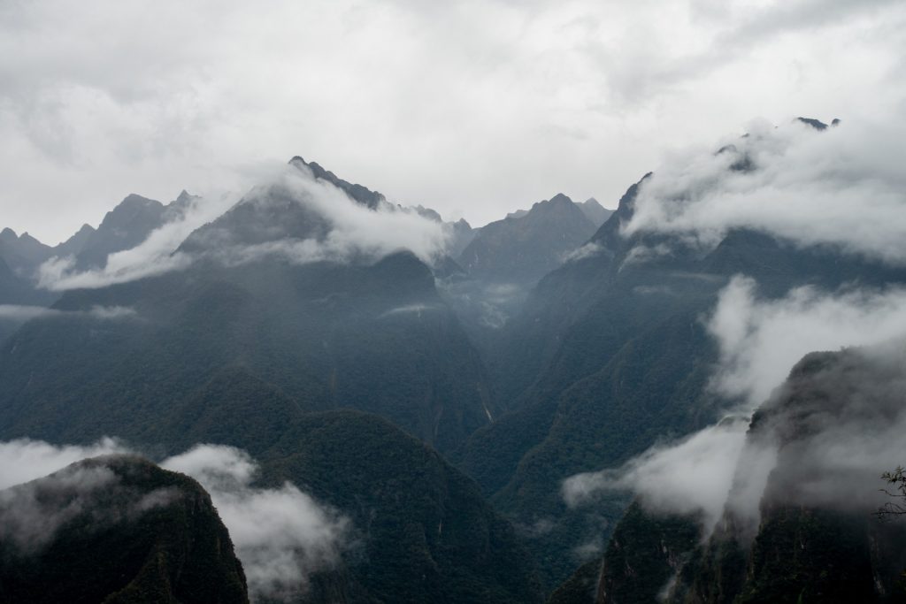
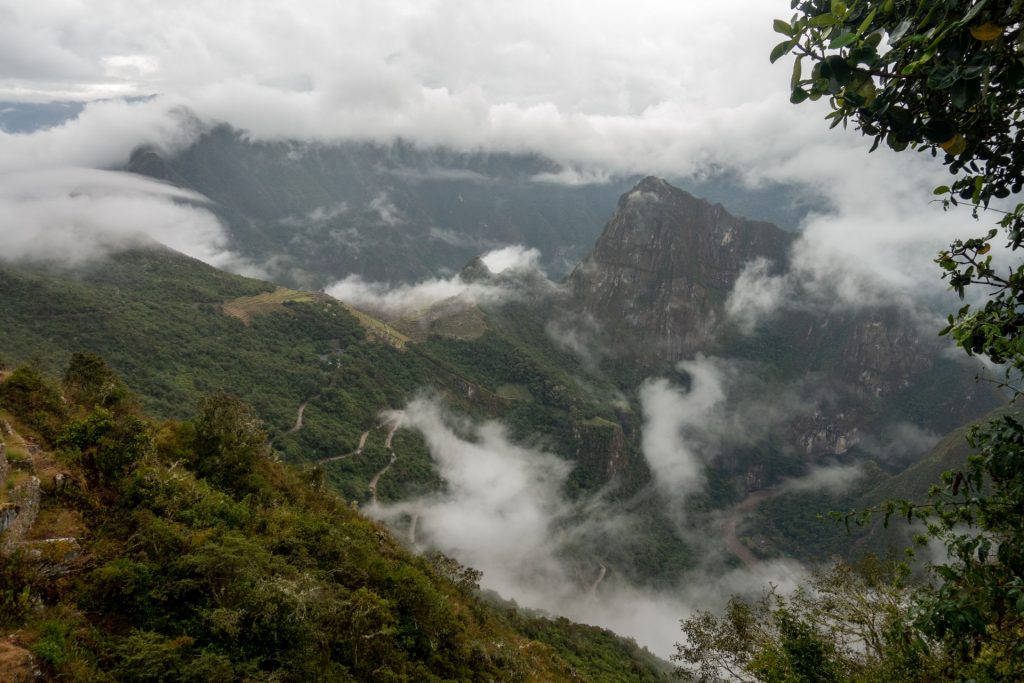
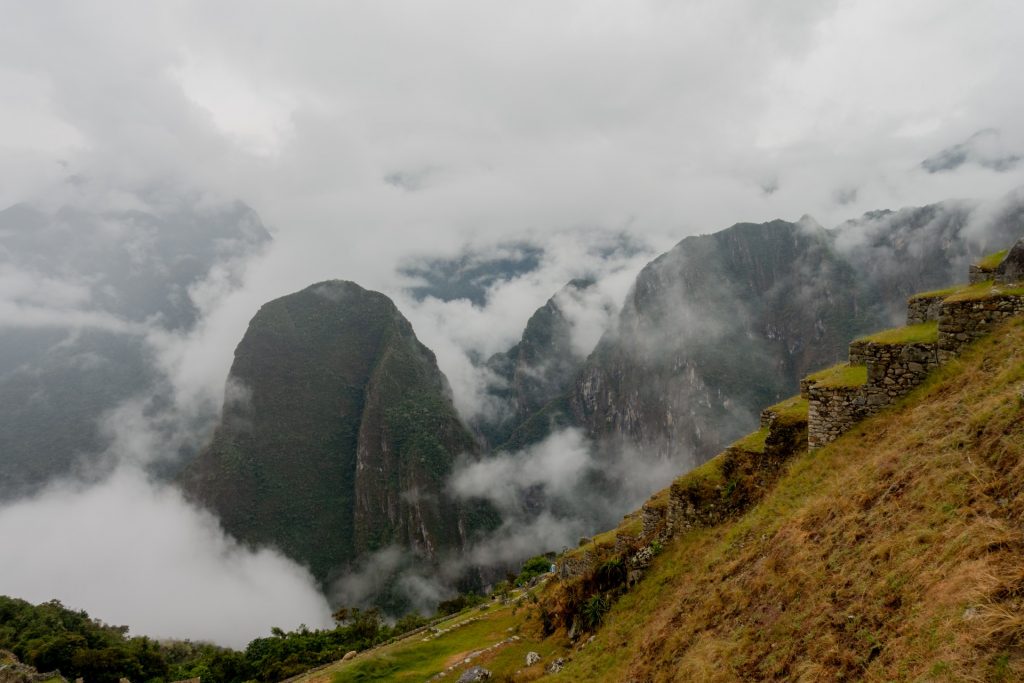
The Salkantay Trek crosses the Salkantay Pass at 4 630m, descends into the cloud forest and passes the Inca ruins of Llactapata, with a first, distant view of Machu Picchu. We found that trail very beautiful and challenging.
The dry season (from April to November) is the best time for this trek. We did it in the beginning of June, and had a perfect sunny weather… except when we reached the lost city itself!
1 Day – Humantay Lake – 6 km
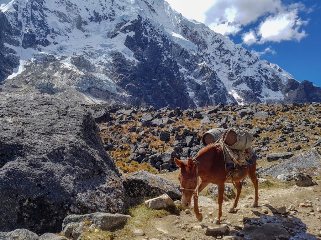
The first day was relatively easy in terms of distance, but we had to wake up very early, since the departure time from Cuzco is at 5 am. The first night of the trek is the coldest one, because you sleep at 4 000 m height. We rented sleeping bags (0C°) but Alena was happy to have a second one (+10C°). During the day we could put the sleeping bags and clothes stuff in a duffel bag of 7 kg that was carried by donkeys.
The picture below is a 360 photo, click and drag to look around, scroll to zoom!
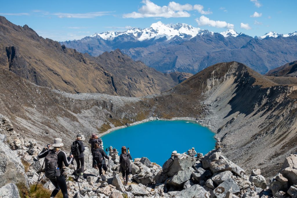
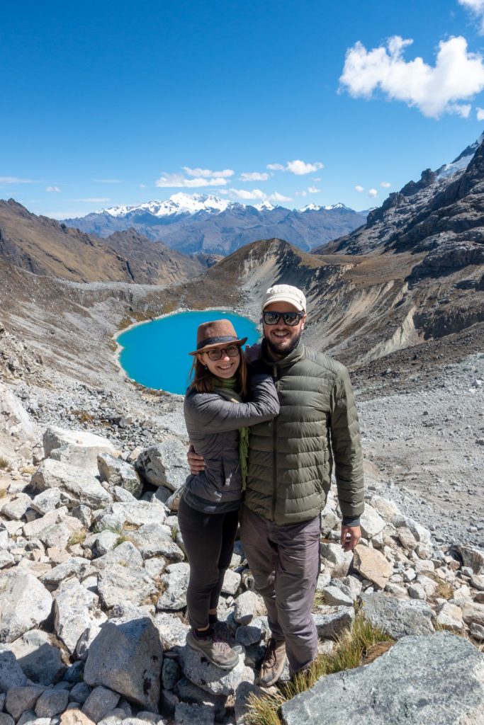
The first part is a warmup up before conquering the Salkantay pass and the adaptation to the altitude. We climbed to the beautiful Humantay lake at 4250m above sea level, stayed there for a while and went down to the Quiswarniyoc camping site.


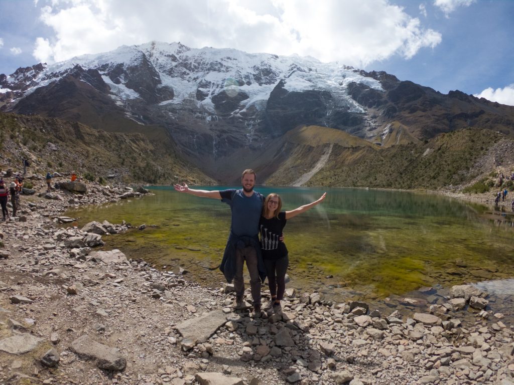
Humantay lake 
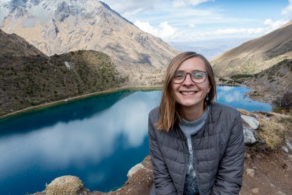
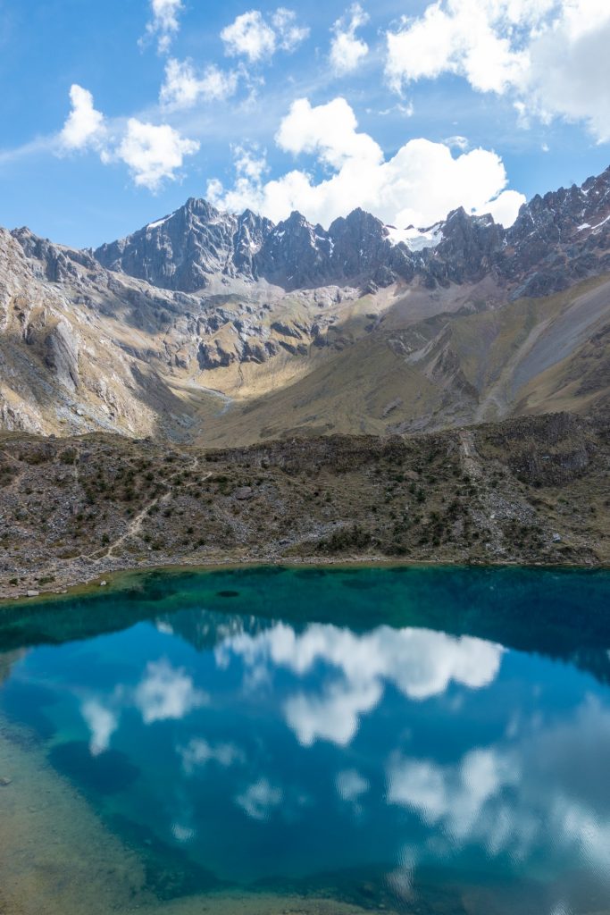

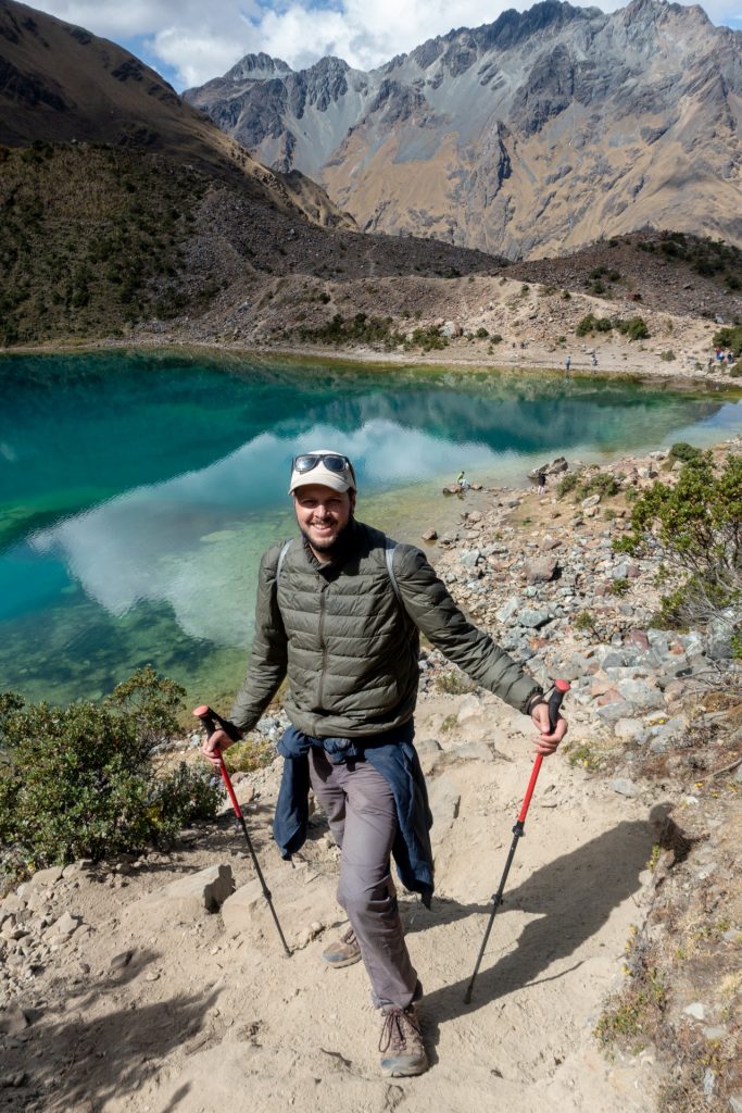
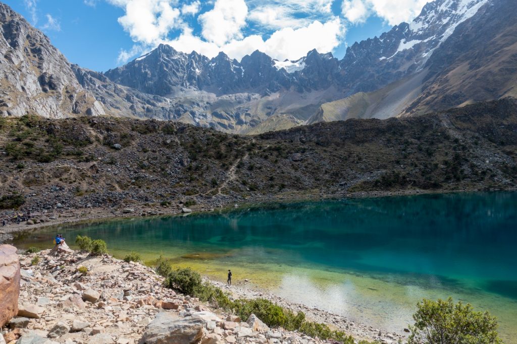

The lake is surrounded by the mountains, you can observe the Humantay glacier with its peak on 5 473 m.
The picture below is a 360 photo, click and drag to look around, scroll to zoom!
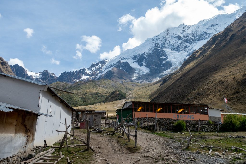
our camping site 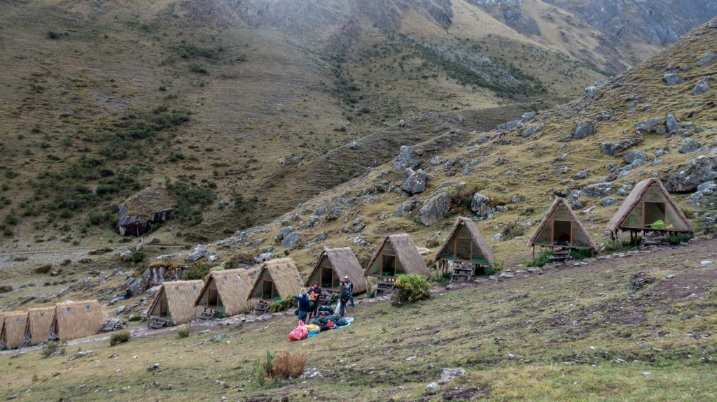
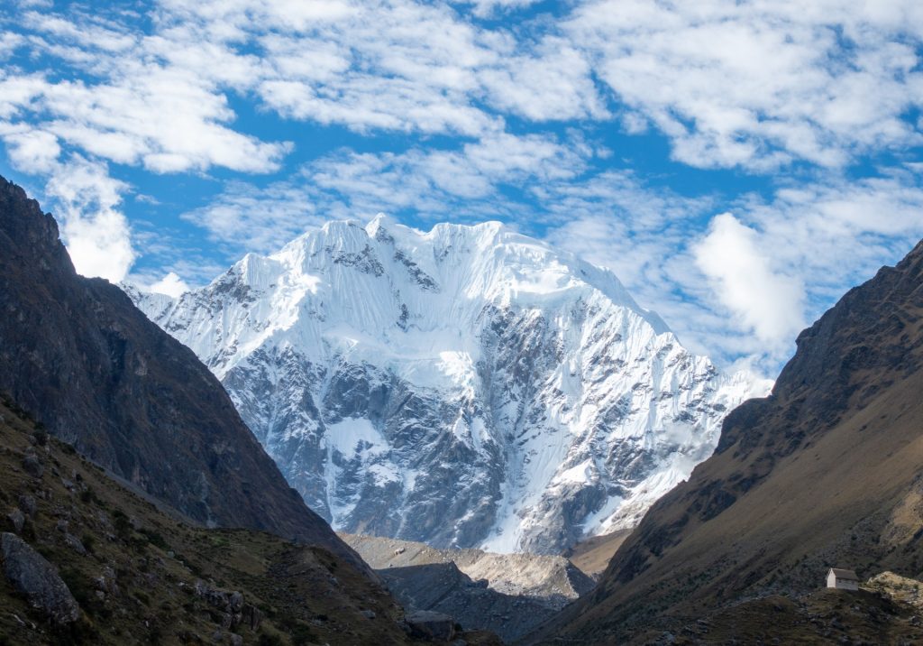
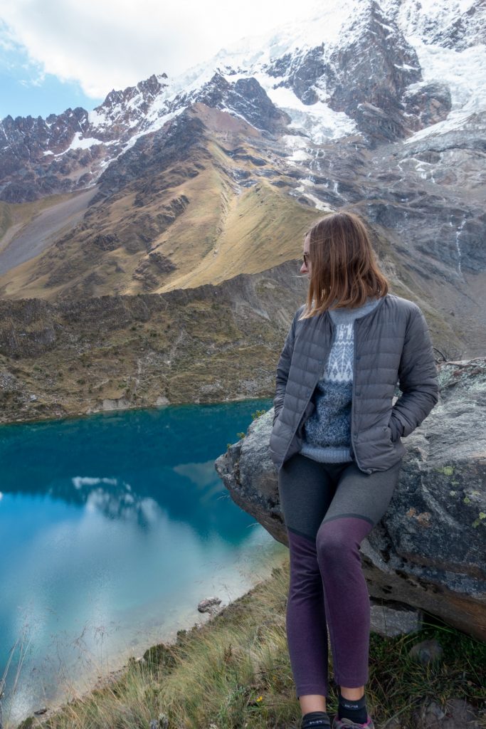
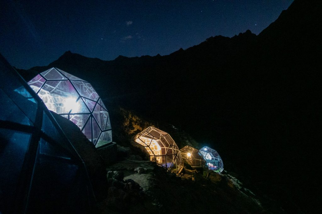
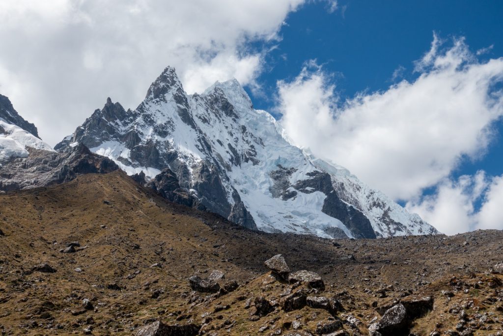
Mirador Salkantay – 6 264 m 
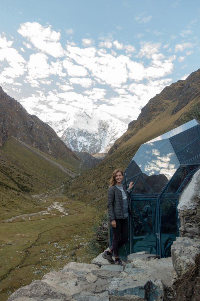
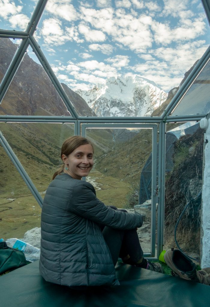
We had a chance to sleep first night in recently built domes. They are supposed to be warmer than other bungalows (but still cold!) and have an amazing view to the Salkantay mountain! Unfortunately it is difficult to see the night sky from inside after a while because of the condensation.

this red worm is Alena 
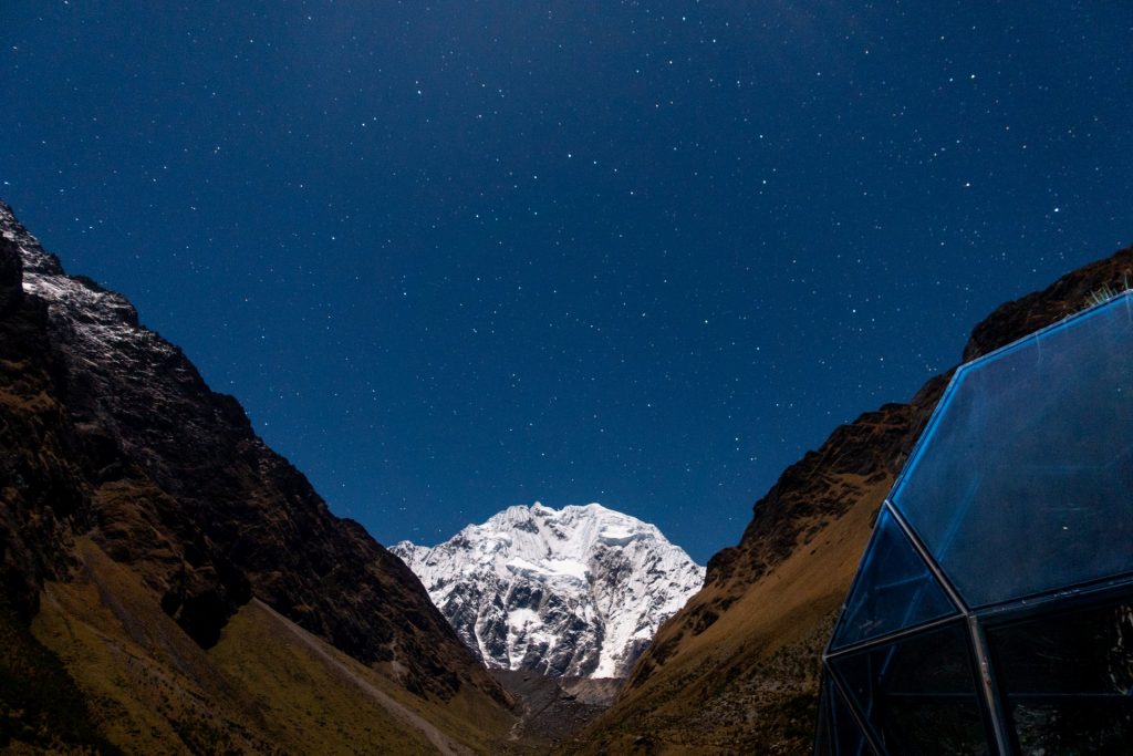
starry night
The picture below is a 360 photo, click and drag to look around, scroll to zoom!
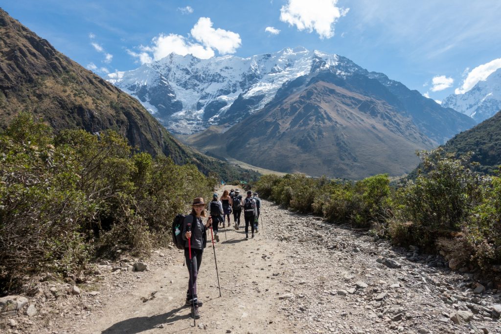
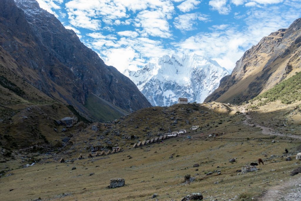
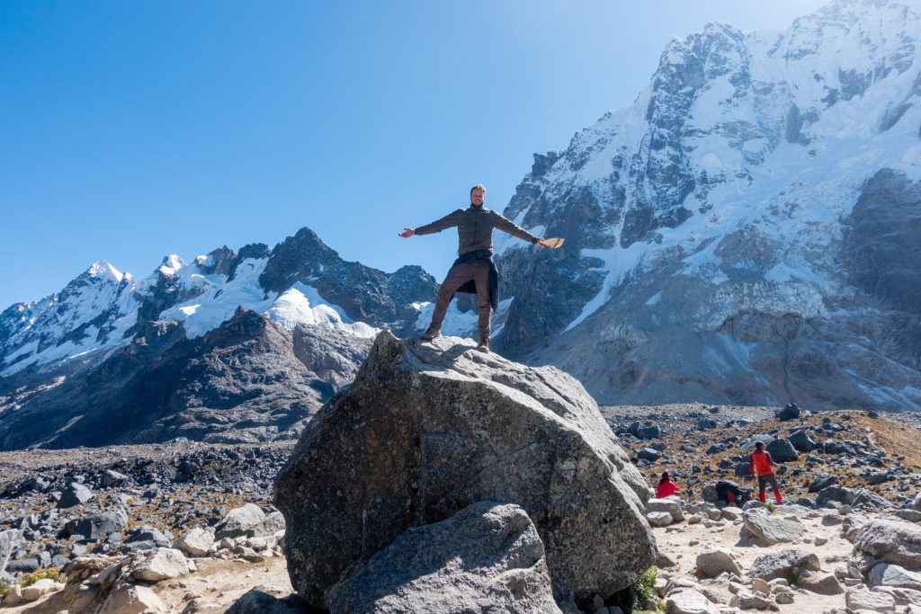
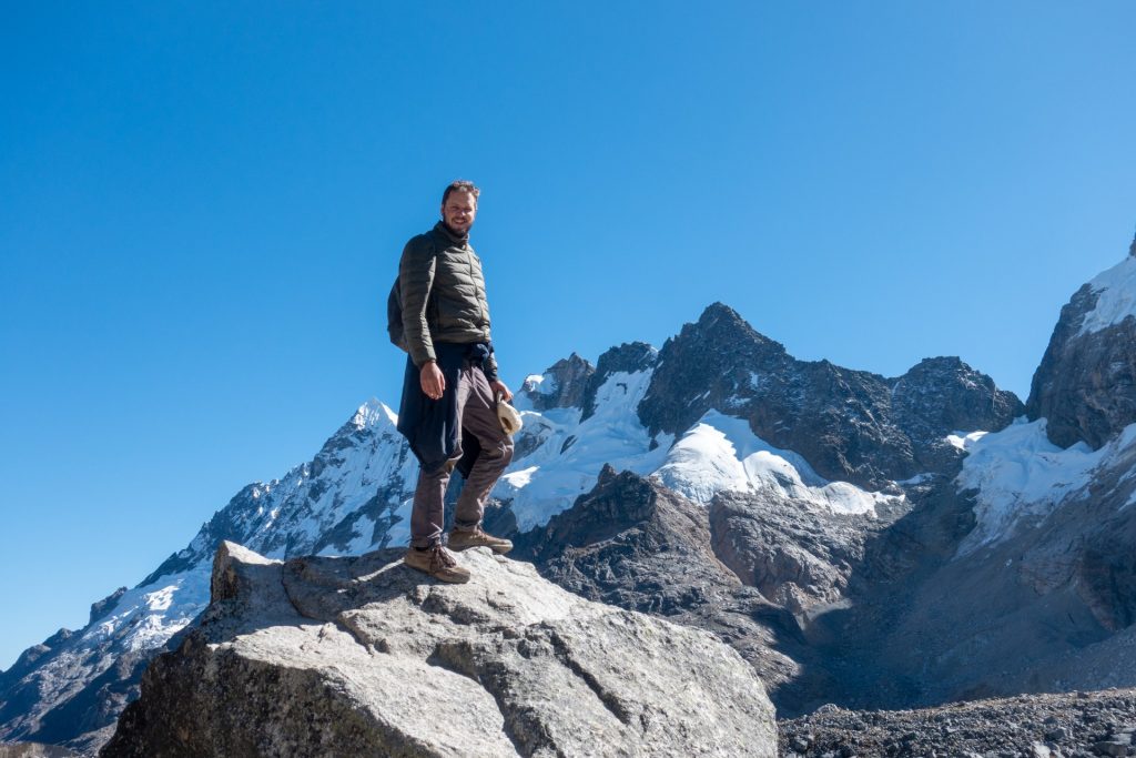
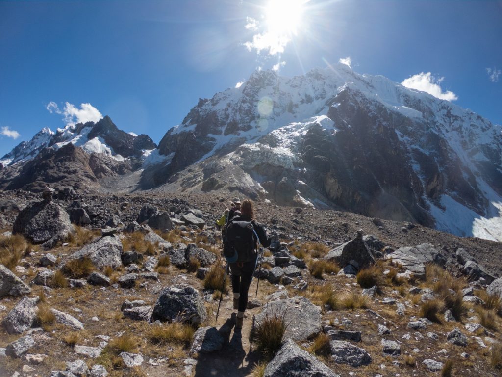
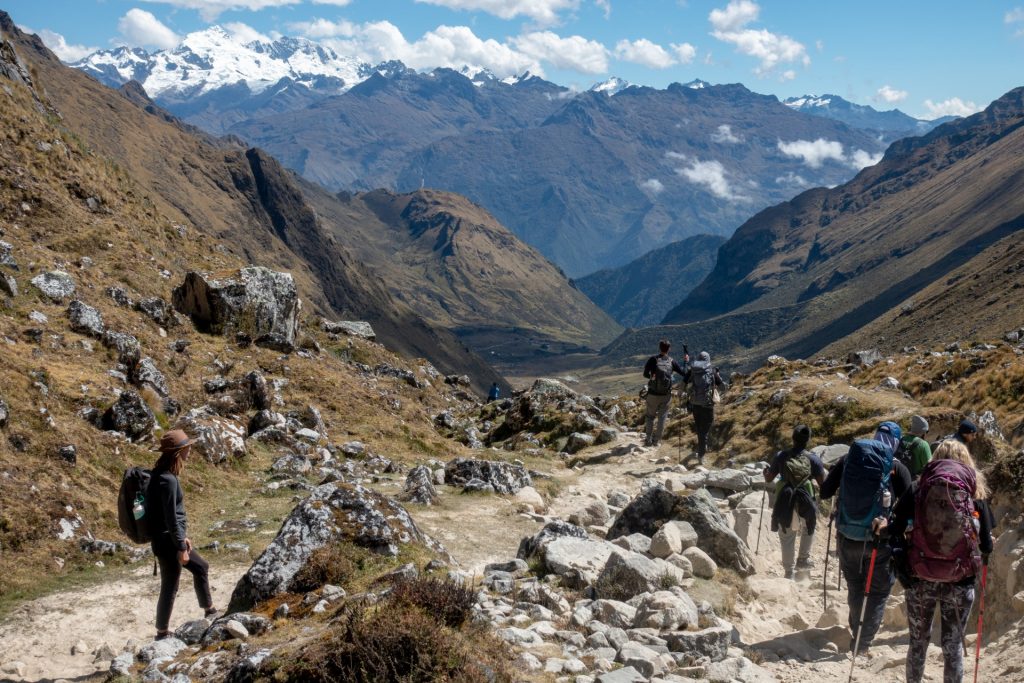
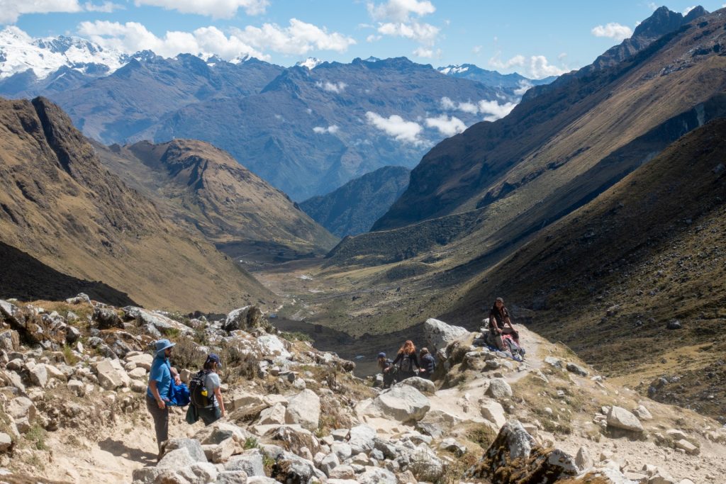
2 Day – Salkantay Pass – 22 km
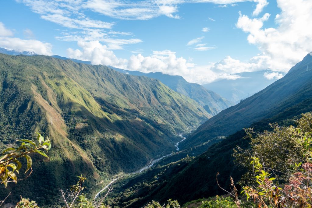
In our opinion this was the most difficult but brightest day during the trek. It consists of 22 km of trekking (8-9 hours) and takes you to the highest point of the trek, 4630 meters above sea level. In the evening you sleep at the camping at 2900m. This is an amazing day journey from the cold snowy mountains to the hot jungles.
we were very lucky with the weather 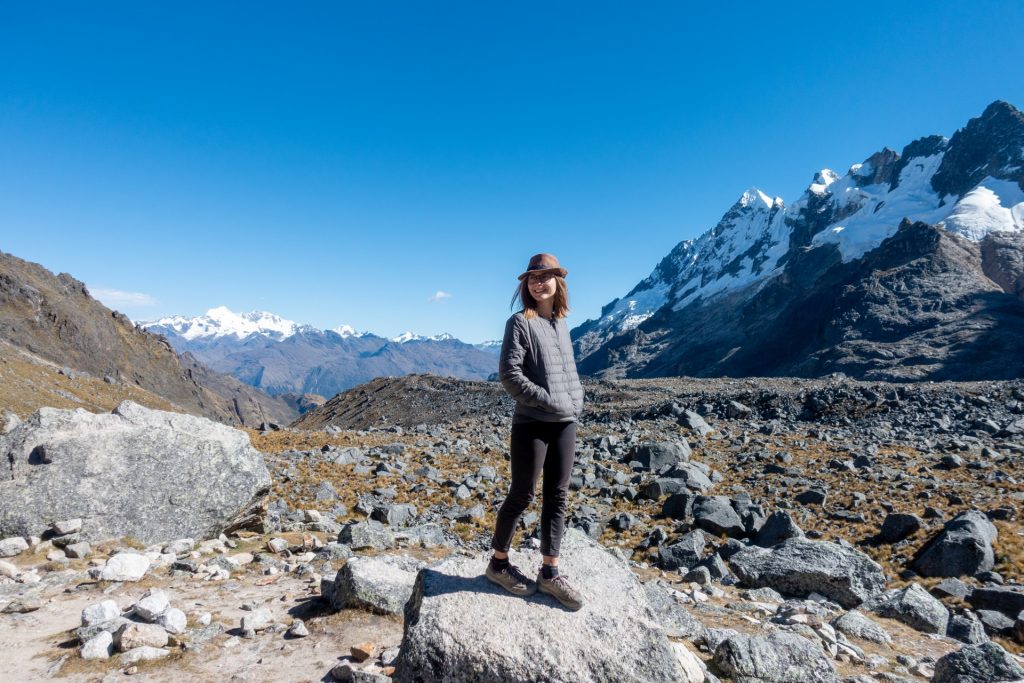

Donkeys with our duffel bags 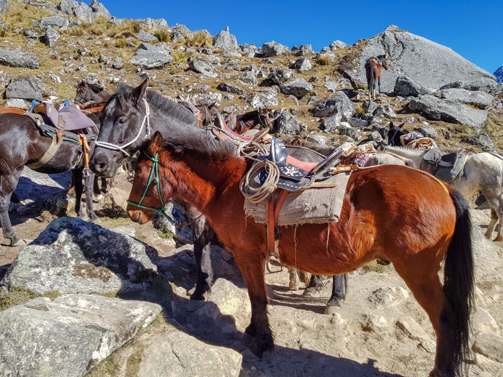

You usually eat very simple during the hikes. But in this tour, the kitchen service was top notch! We even had pancakes and a personal wake-up with some hot tea! There was a group of cooks who walked with us across the mountains with all necessary provisions on donkeys. Incredible that they were faster than us and even had enough time to prepare dinner for 30 persons!
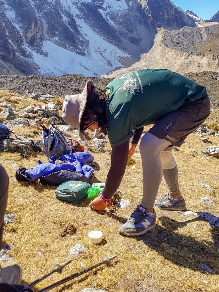
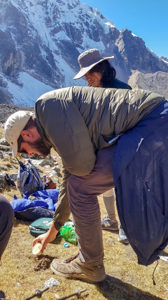
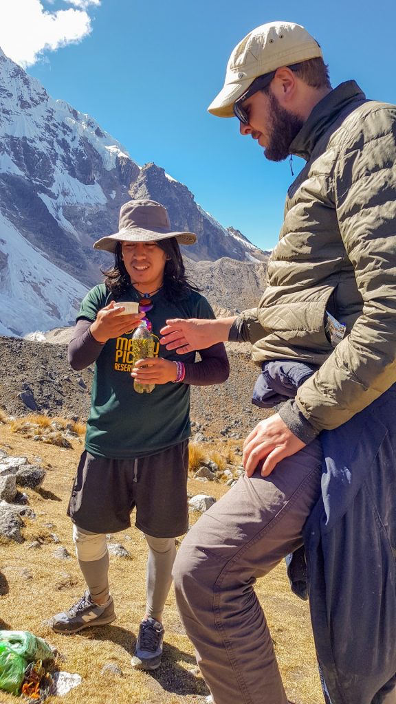
At the highest point, our guide taught us to respect the mountain gods, and performed a small traditional Andean ritual (of course not without alcohol 🙂 ). The ritual consisted to praise mountains and nature, drink some sort of Peruvian moonshine and share it with Pachamama, the mother of earth and time.

The picture below is a 360 photo, click and drag to look around, scroll to zoom!
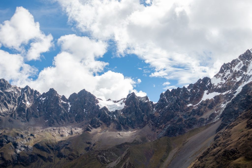
view on the Salkantay mountain – 6 264 m 
. 

The picture below is a 360 photo, click and drag to look around, scroll to zoom!
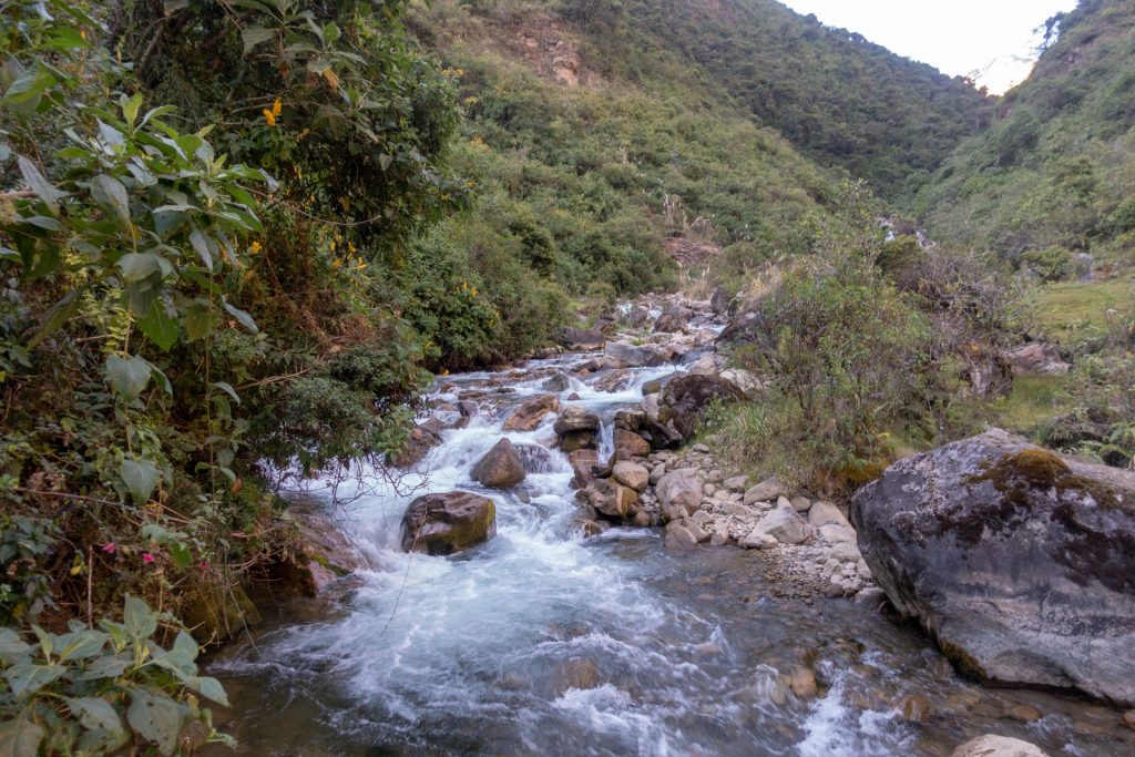
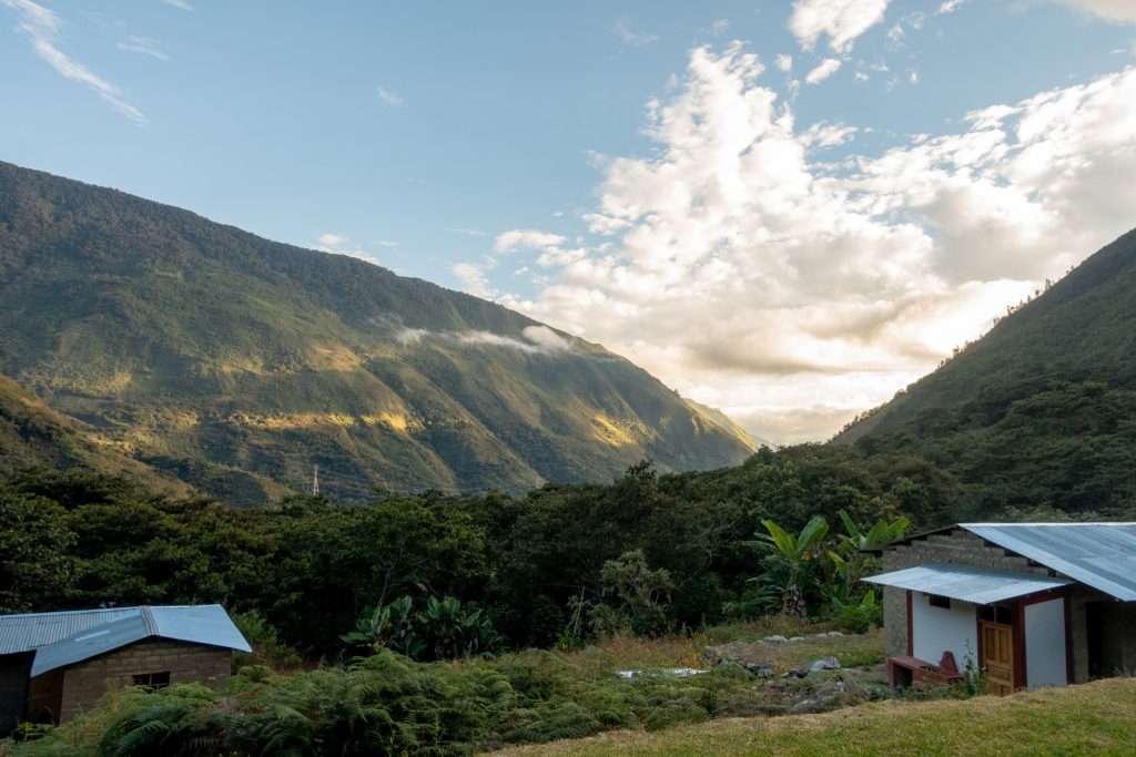
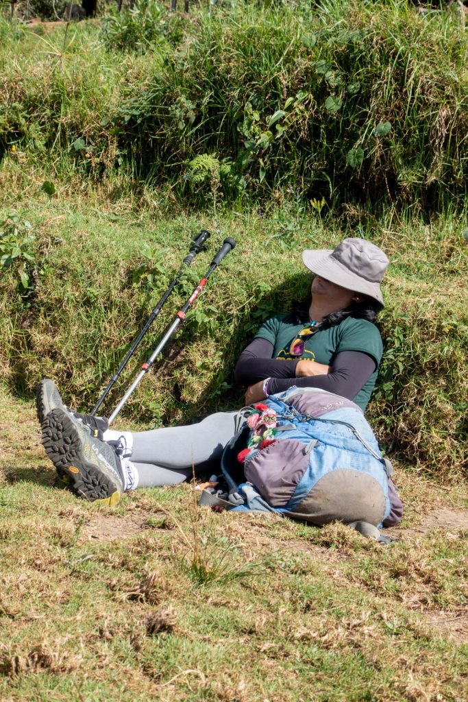
3 Day – Jungle and Hot Springs – 16 km
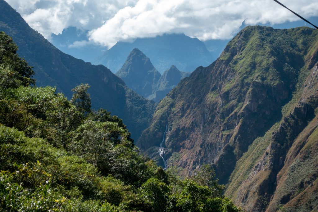
The 3rd day was quite chill, we kept going down in the jungles through Santa Teresa Valley. The only thing I regret is not to take the walking sticks like Wout, they are very handy to reduce tension from your knees.
The picture below is a 360 photo, click and drag to look around, scroll to zoom!
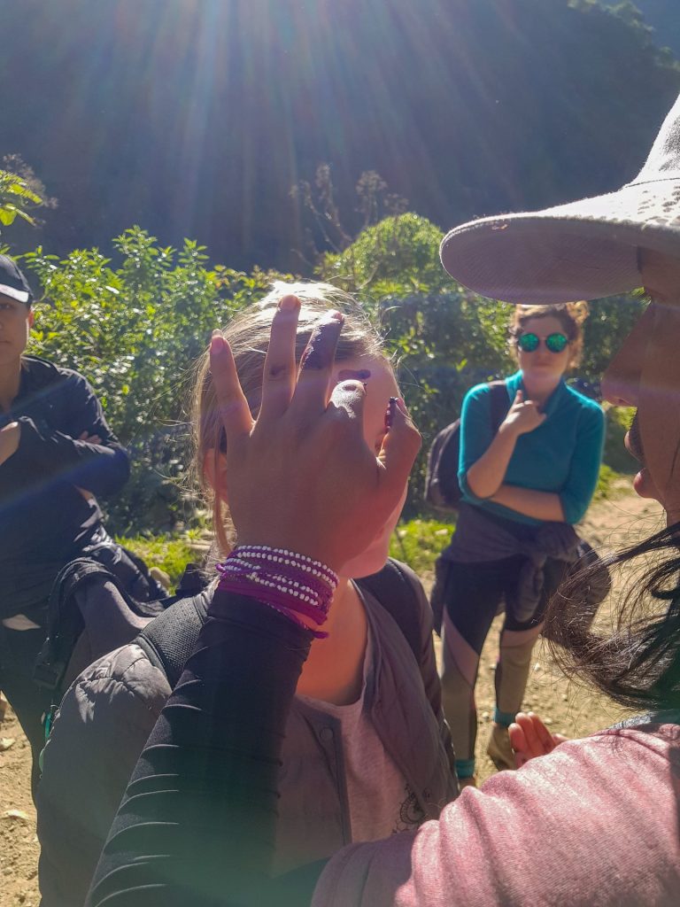
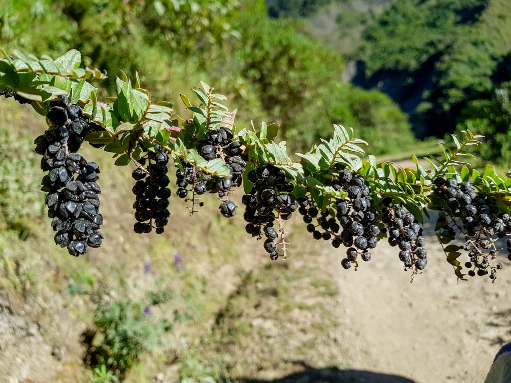
facial time with Andean berries 


MOUNTAIN QUEENS! 
a birthday cake from chef cook 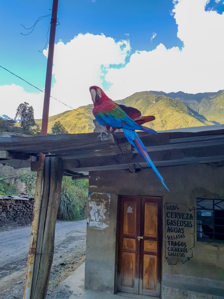
talking parrot
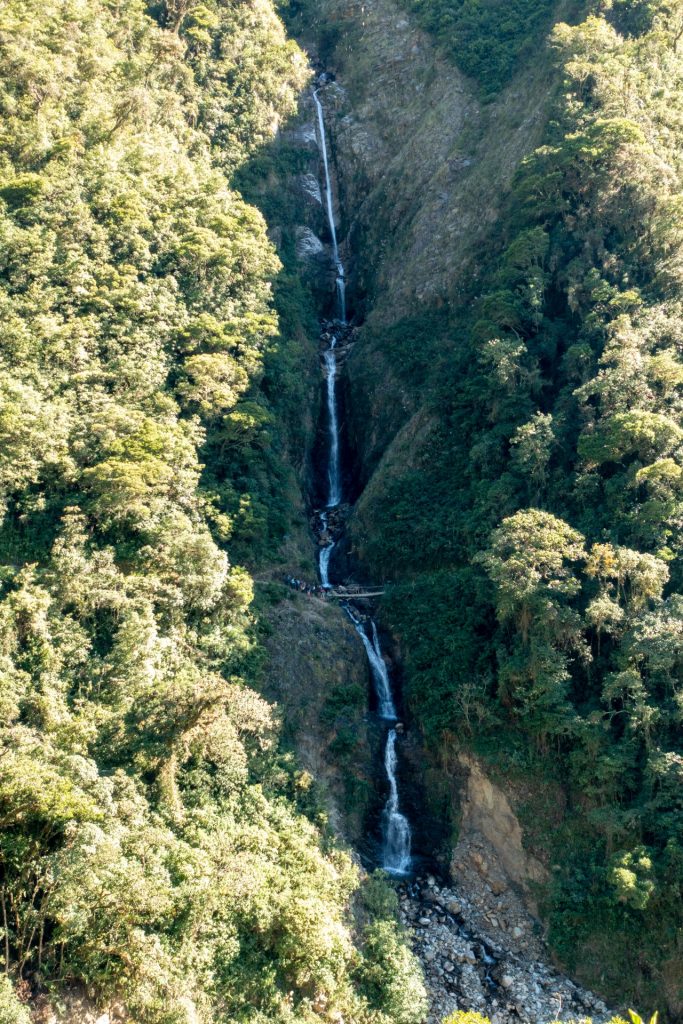
In the end of the day we visited some hot springs, that’s exactly what we needed after 3 days of hiking. And the view…..no comments, only emotions!
The picture below is a 360 photo, click and drag to look around, scroll to zoom!
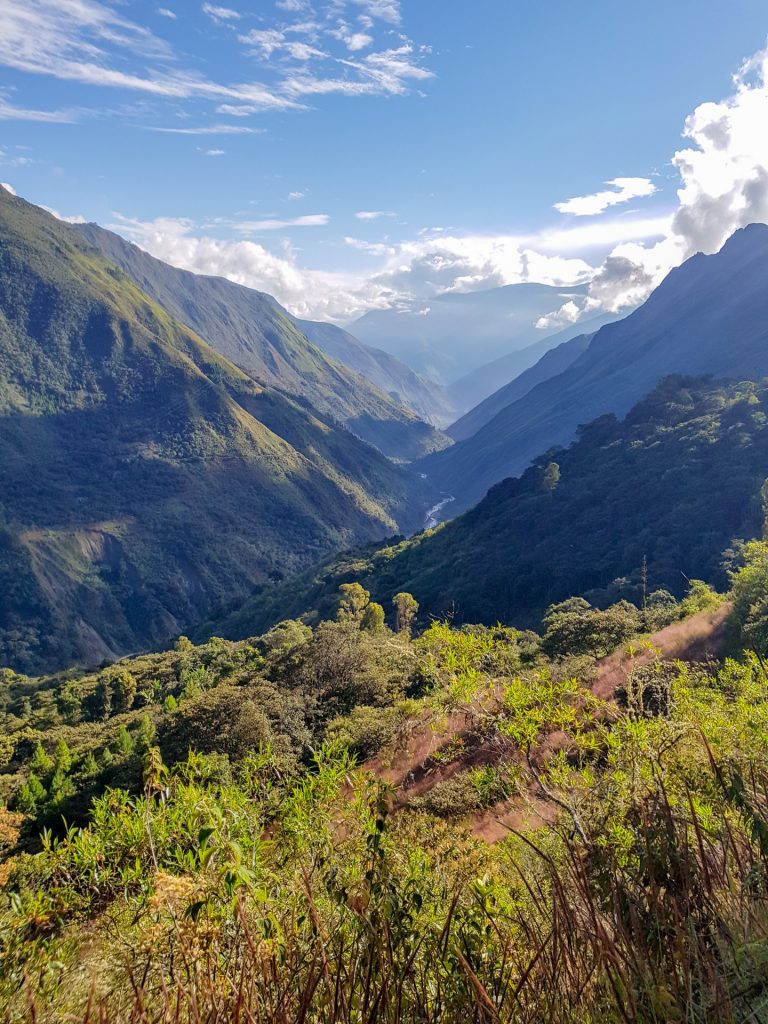
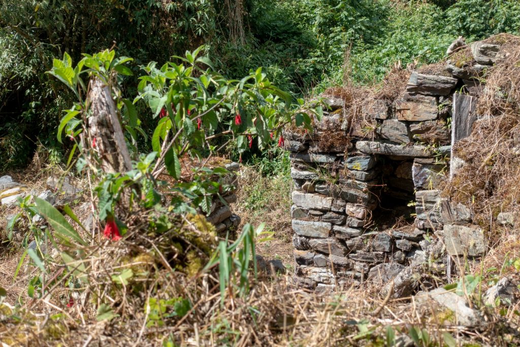
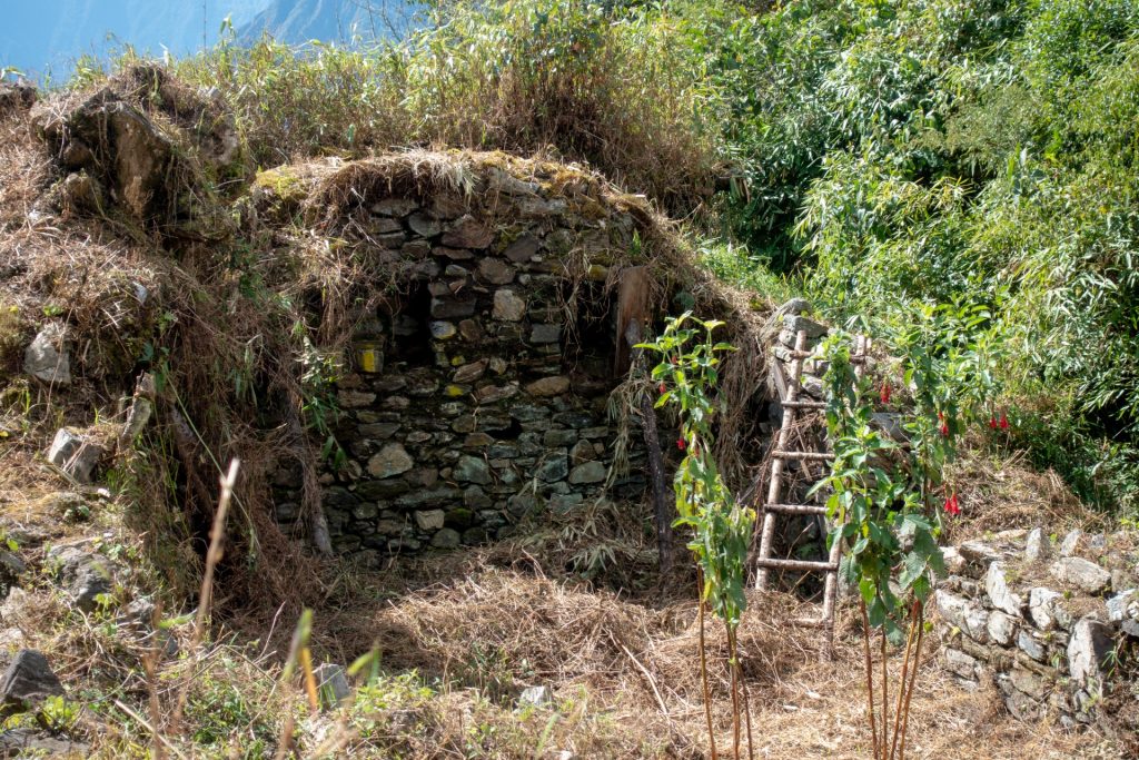
4 Day – Llactapata ruins, Aguas Calientes – 19 km
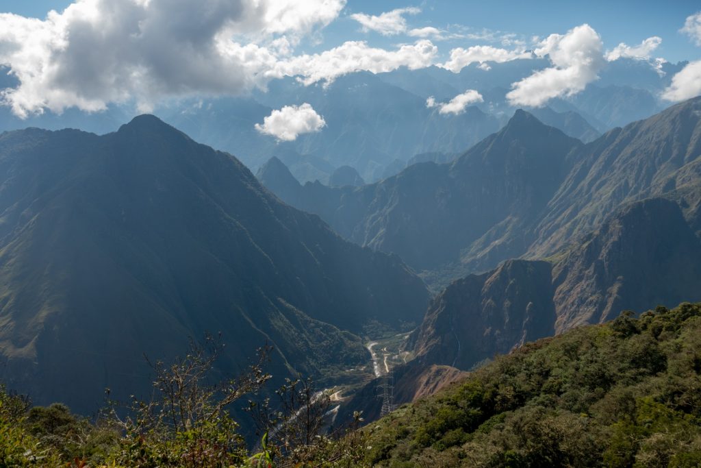
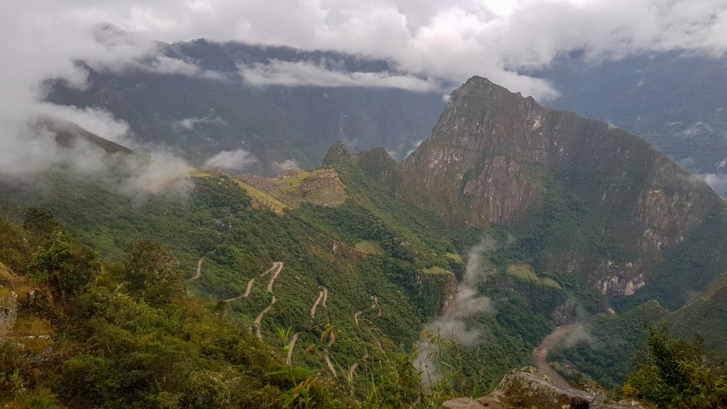
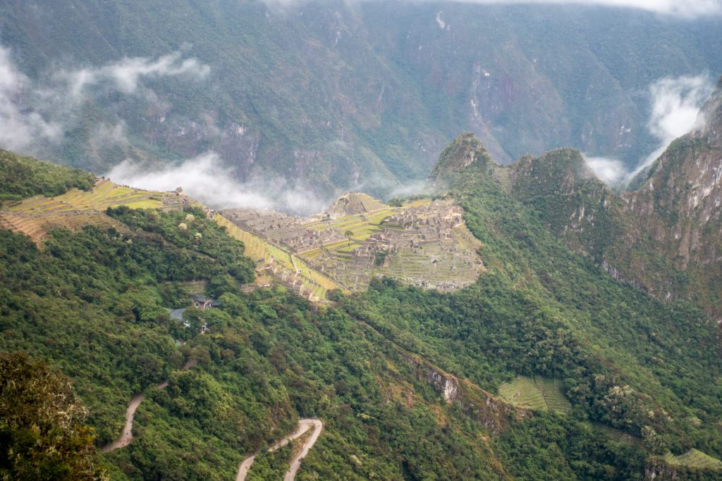
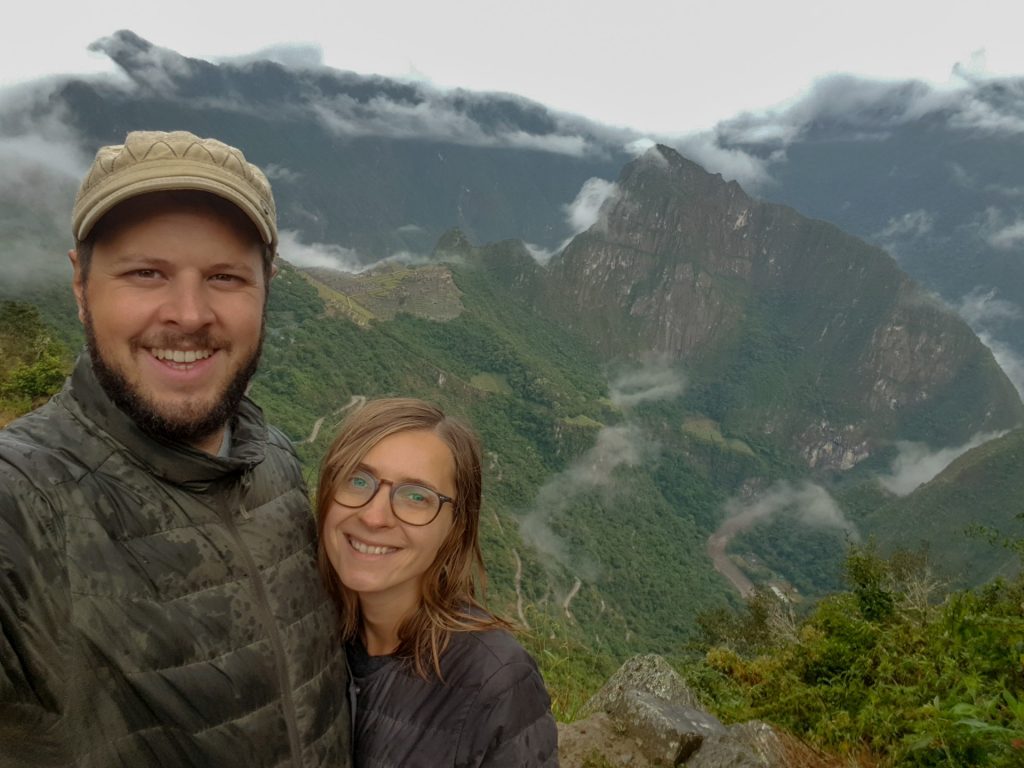
After 3rd camping place (in Santa Teresa) you have a choice : to take a shortcut to Hidroelectrica and walk to Aguas Calientes (it’s one day shorter) or to do a 3 h climb to a hill to see the Llactapata archeological site, some lesser known Inca ruins. Luckily we took a 5 days tour, and could climb the Llactapata.
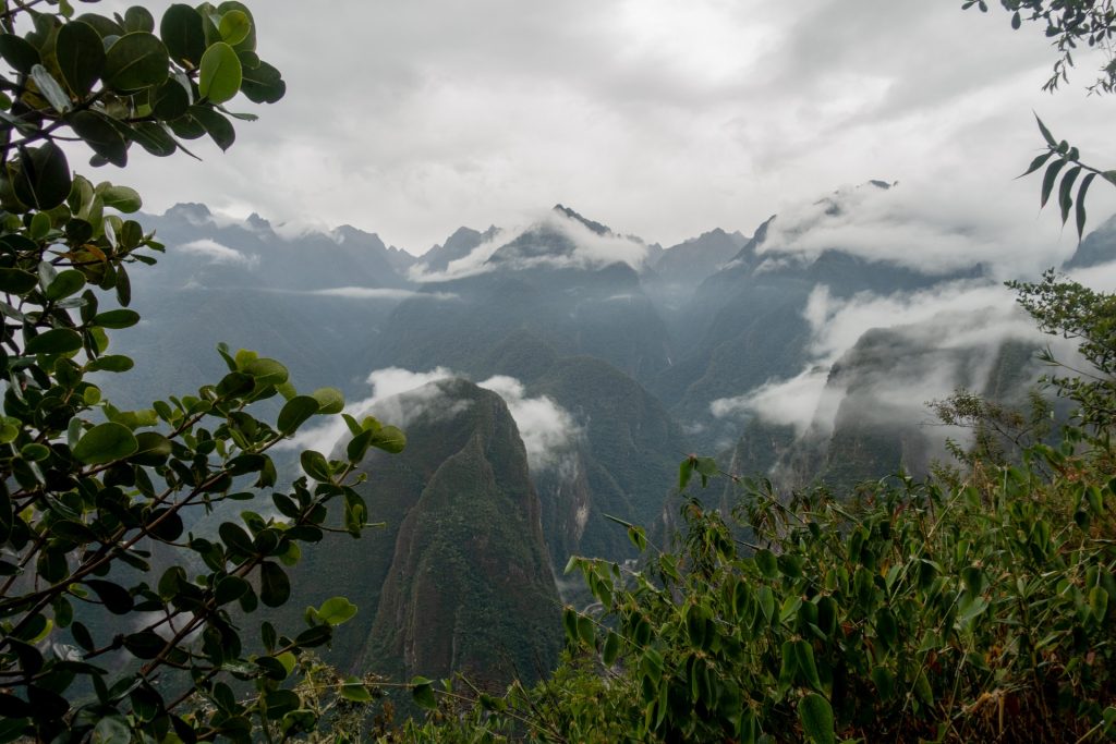
We had one more sunny day and a chance to enjoy the views of Machu Picchu from a unique angle. There was almost no one on site, and most of the ruins were not restored. I really liked that place not only for its fantastic view, but specially for its unique atmosphere. That must be how Machu Picchu looked like when it was found in 1911 by Hiram Bingham.

on the way up, we also visited a coffee plantation. 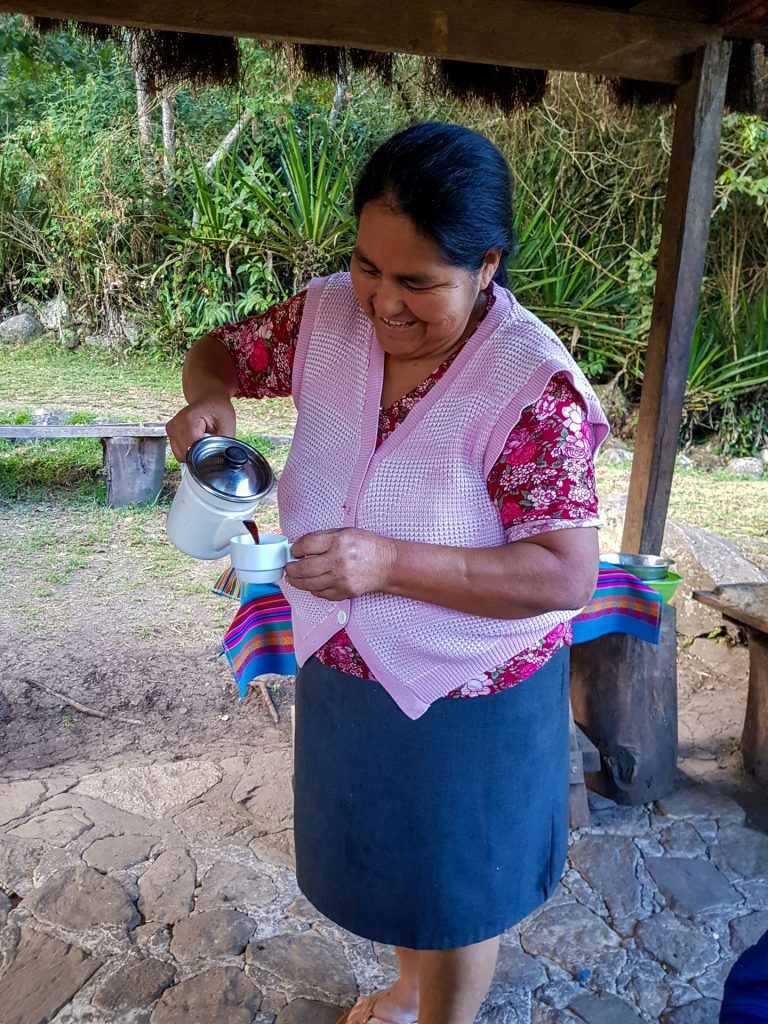
with a very nice lady 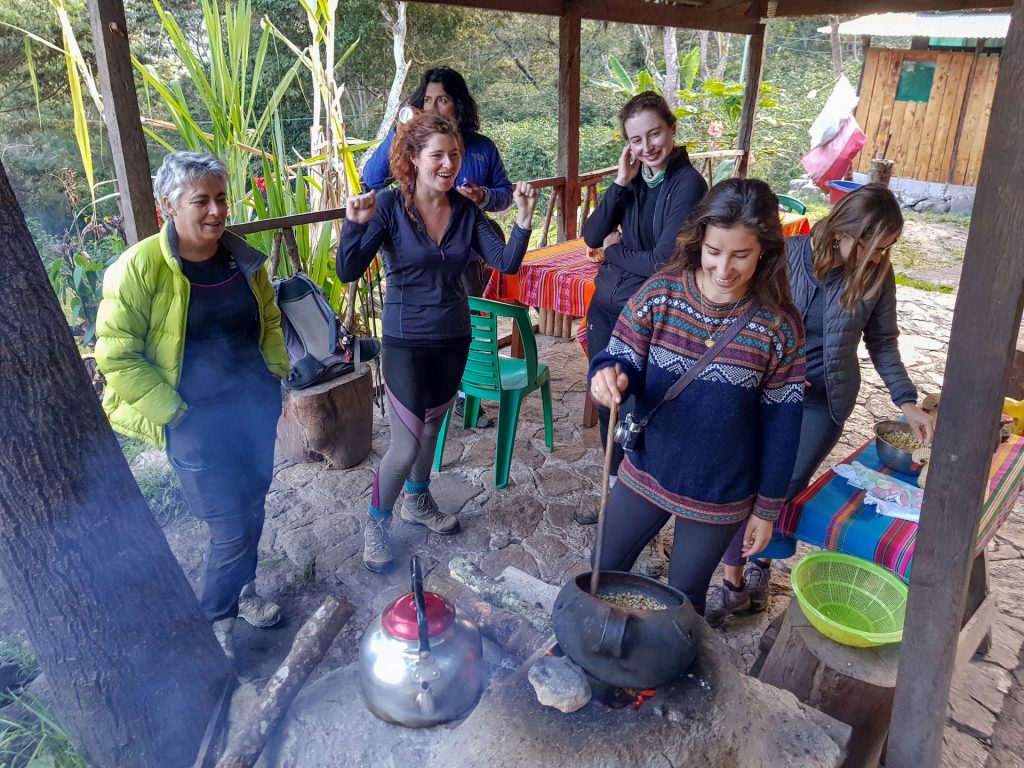

grilling coffee beans 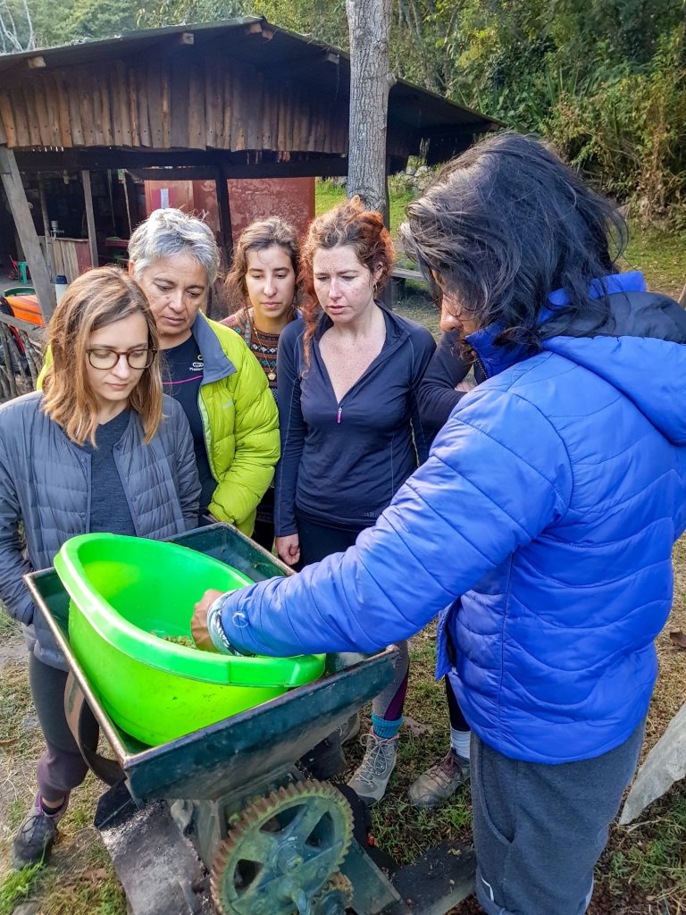
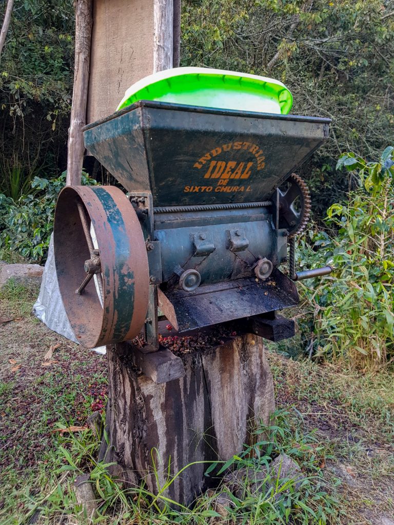

machine to peel the coffee beans 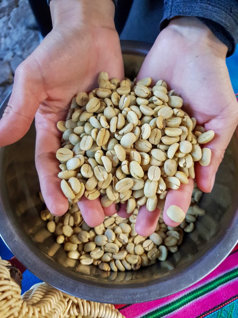
The picture below is a 360 photo, click and drag to look around, scroll to zoom!
the view to Machu Picchu and Huayna Picchu Mountain 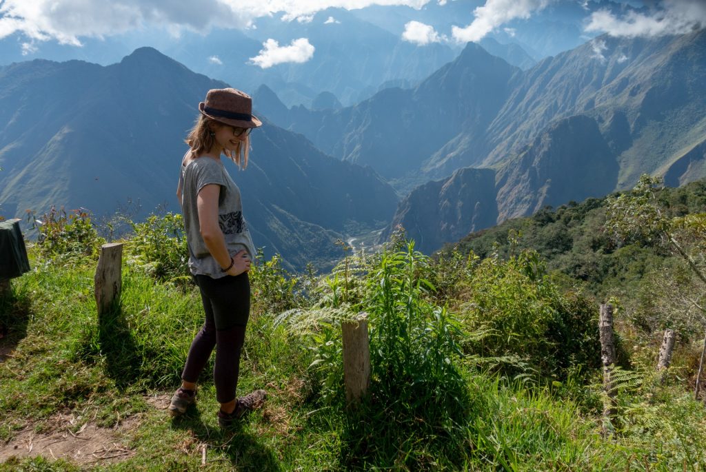

our guide was tired of us :))) 
Llaqtapata 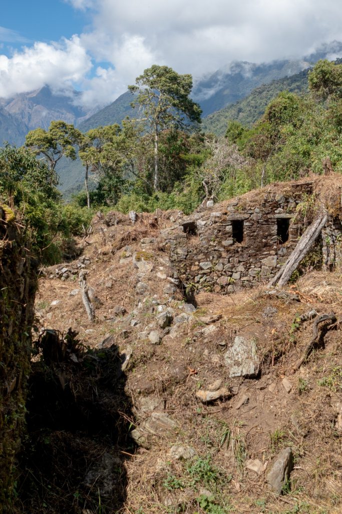


The picture below is a 360 photo, click and drag to look around, scroll to zoom!
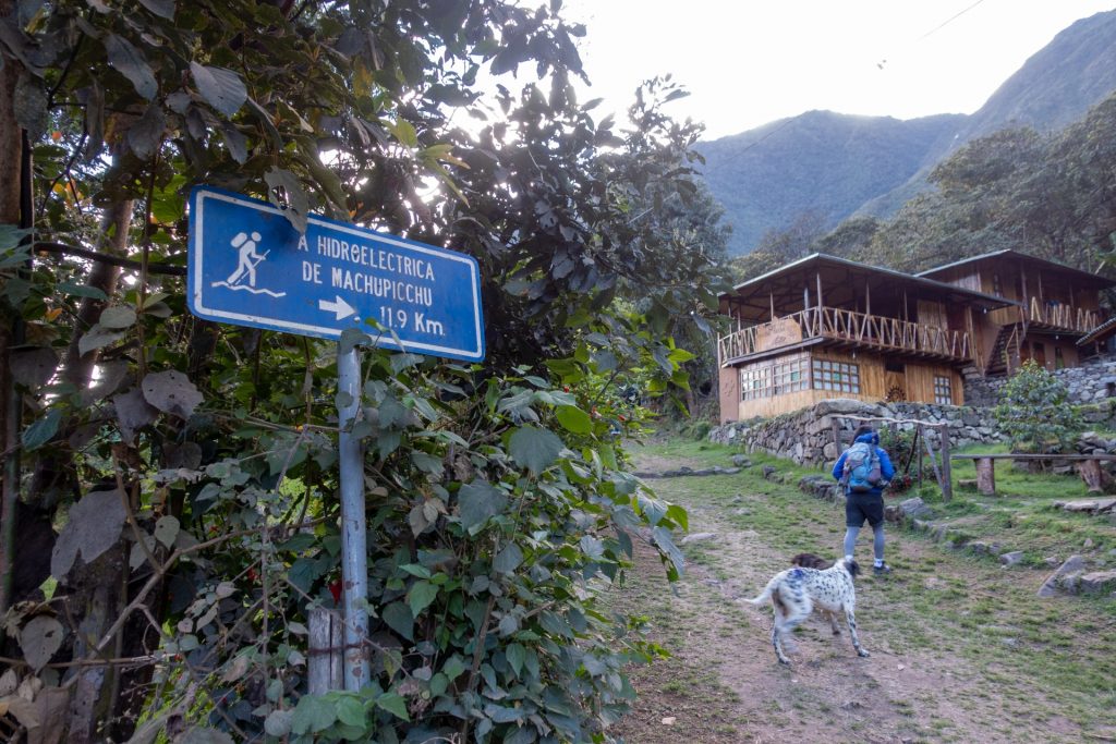
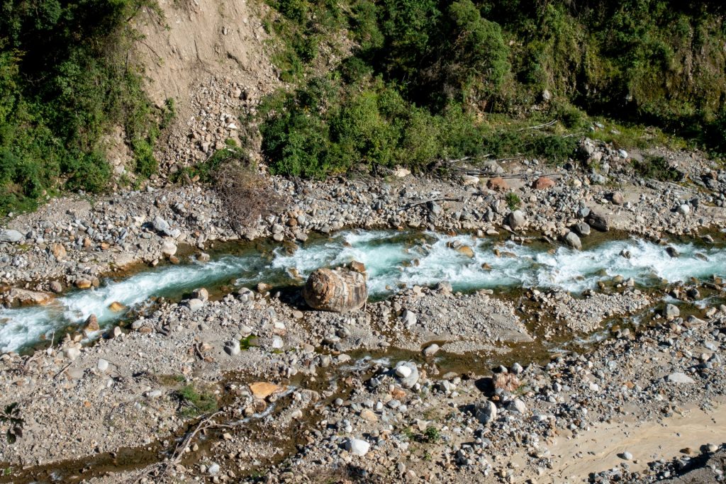
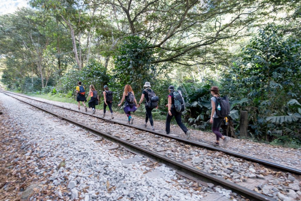
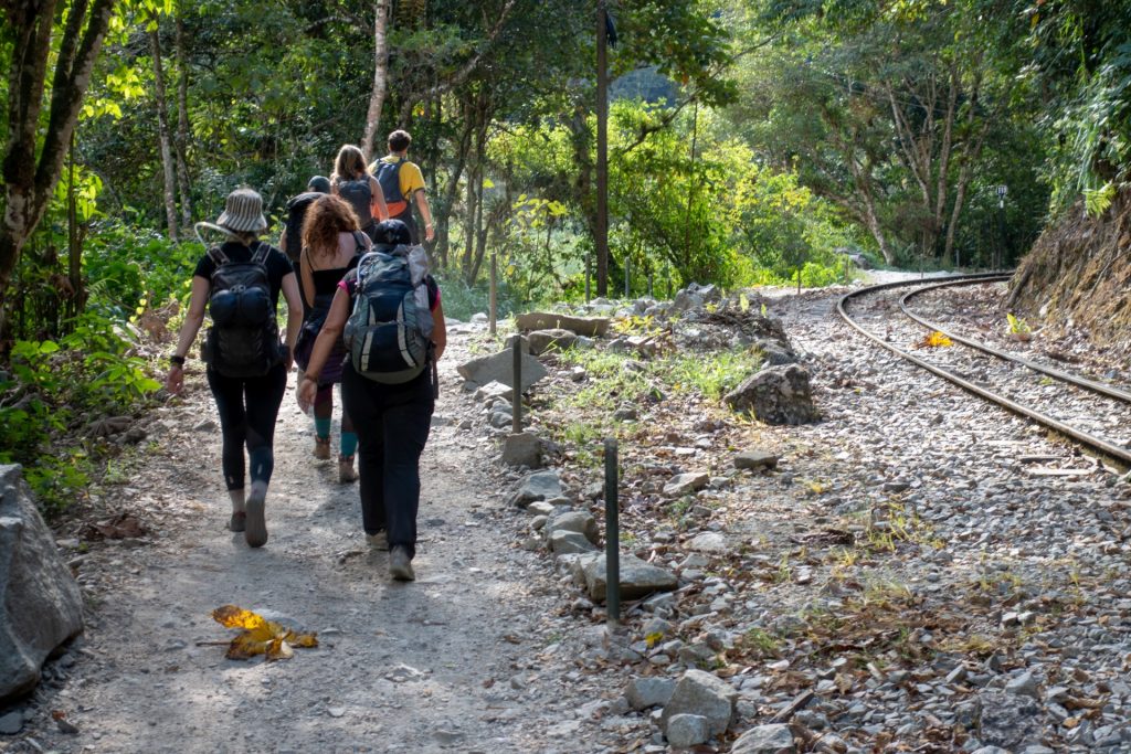
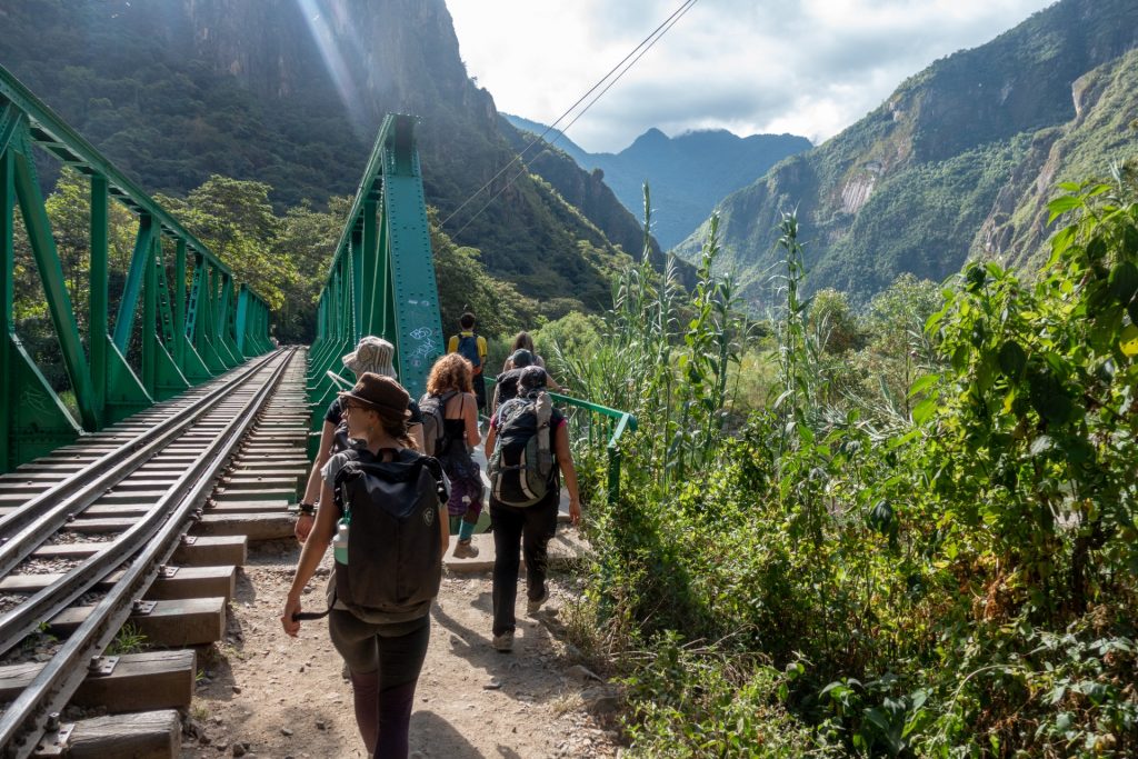
After couple of hours we arrived to Hidroelectrica for the final hike of the day, a 10 km walk along the train tracks to Aguas Calientes. You can also take a train from there, but it would cost somewhere around 35 USD, a bit much for such a short distance. The view is a bit repetitive, but we were with cool guys from our group, so the time passed quickly (especially when we missed the correct turn and had to run through the train tunnel 🙂 lol).


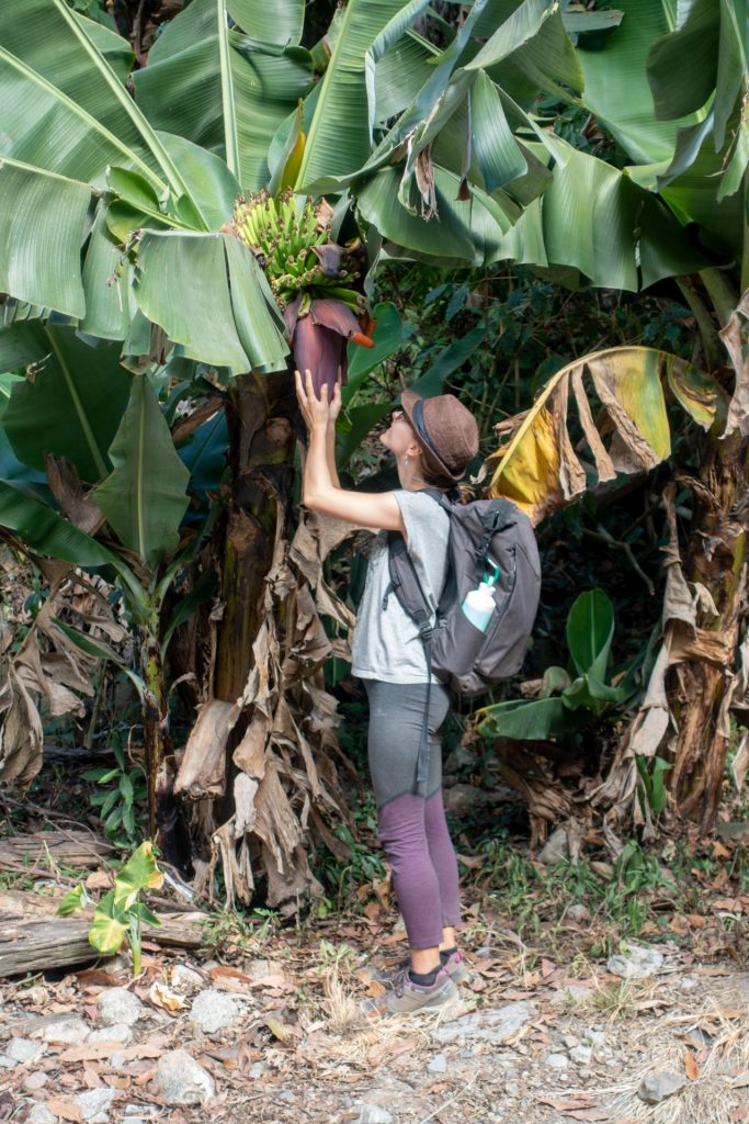
bananas 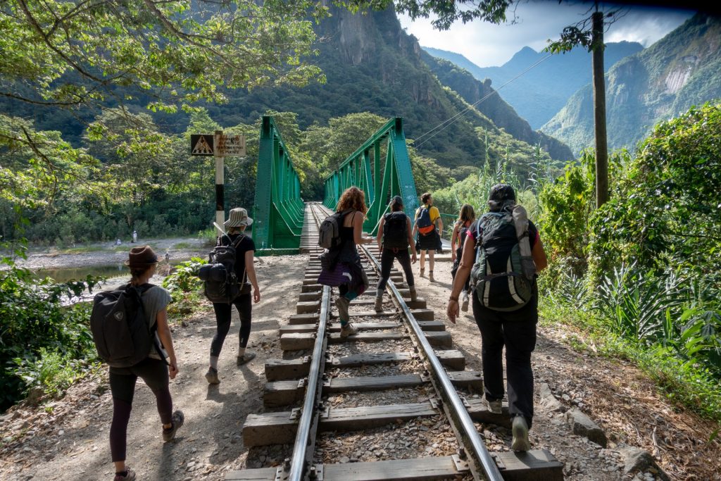

deadly tired, desperate faces =) 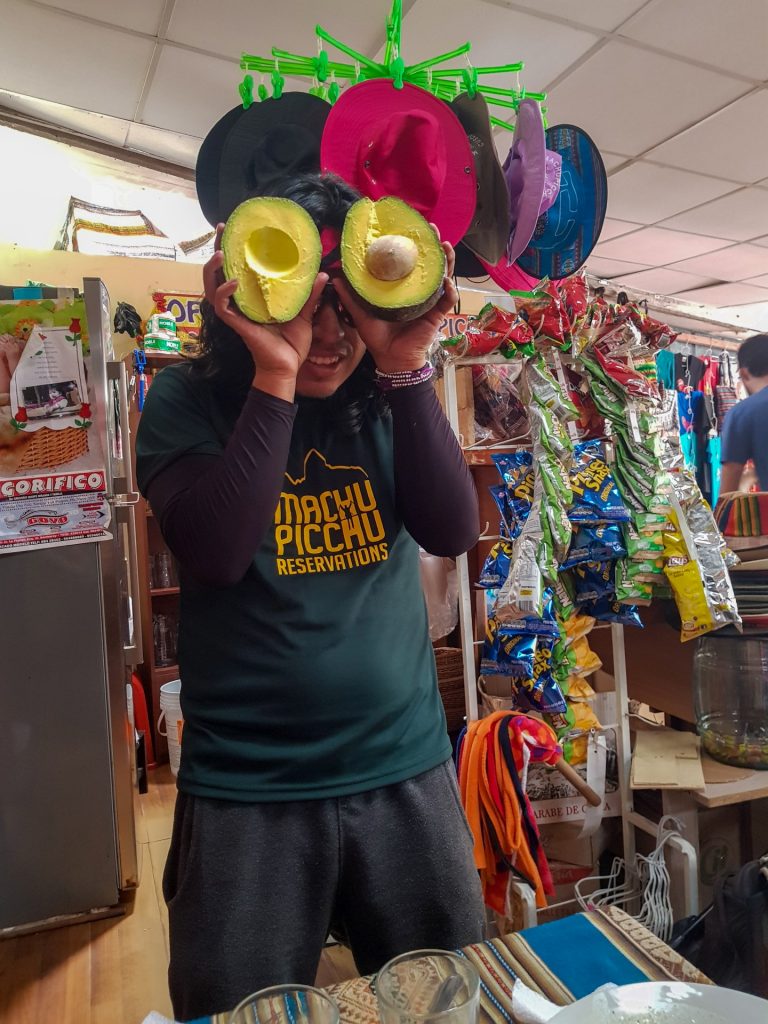
AVOCADOOOOOO
After a hard day, we head to bed, anxious for our final day and ultimate reward: Machu Picchu.
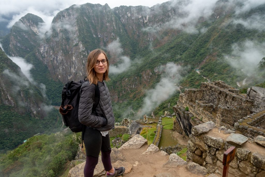
5 Day – Machu Picchu – 16 km
There are buses going uphill to the main entrance, but we decided to climb this hill as well. You can it by yourself from Puente Ruinas, a checkpoint that is only 30-minute walk away from Aguas Calientes (where you should show your passport and Machu Picchu ticket!).
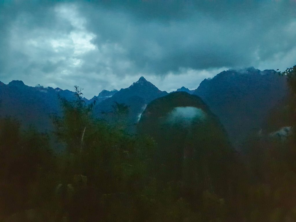
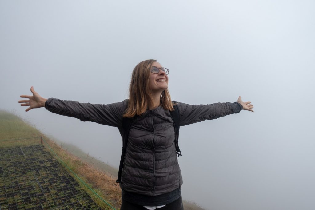
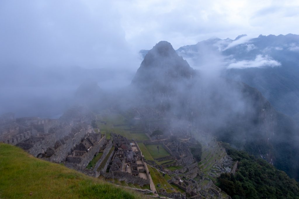
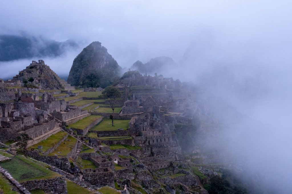
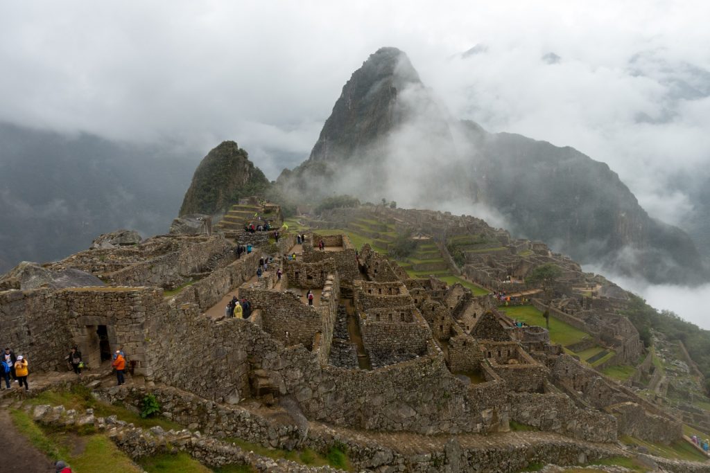
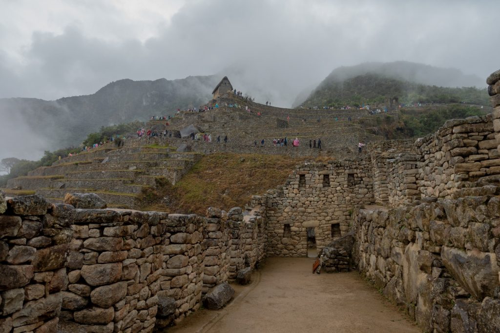
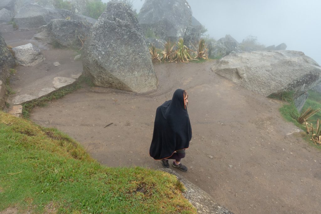
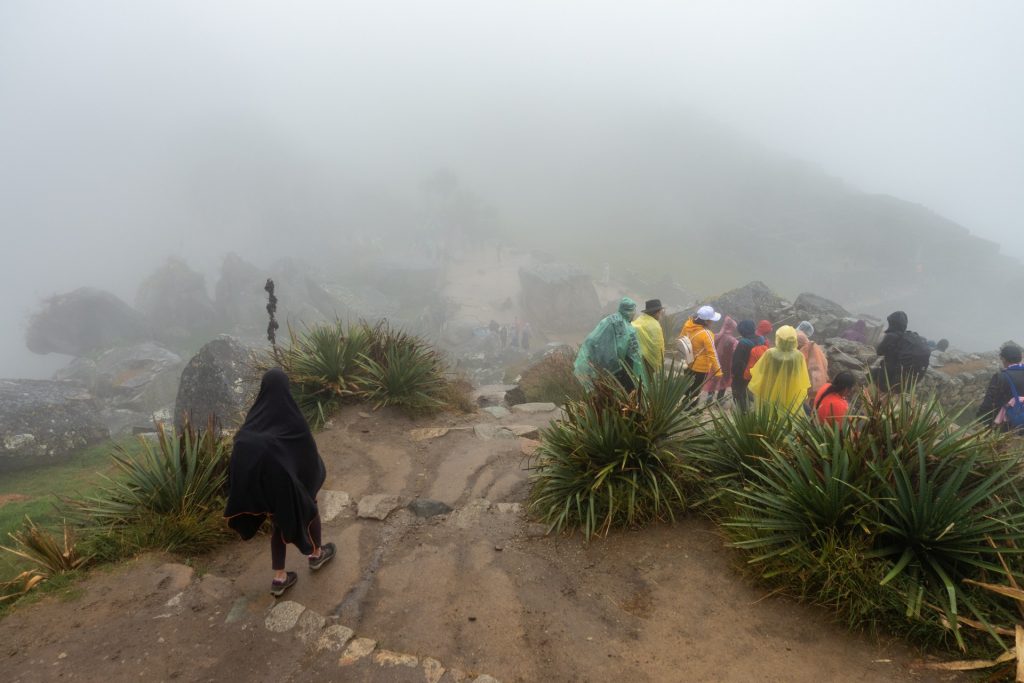
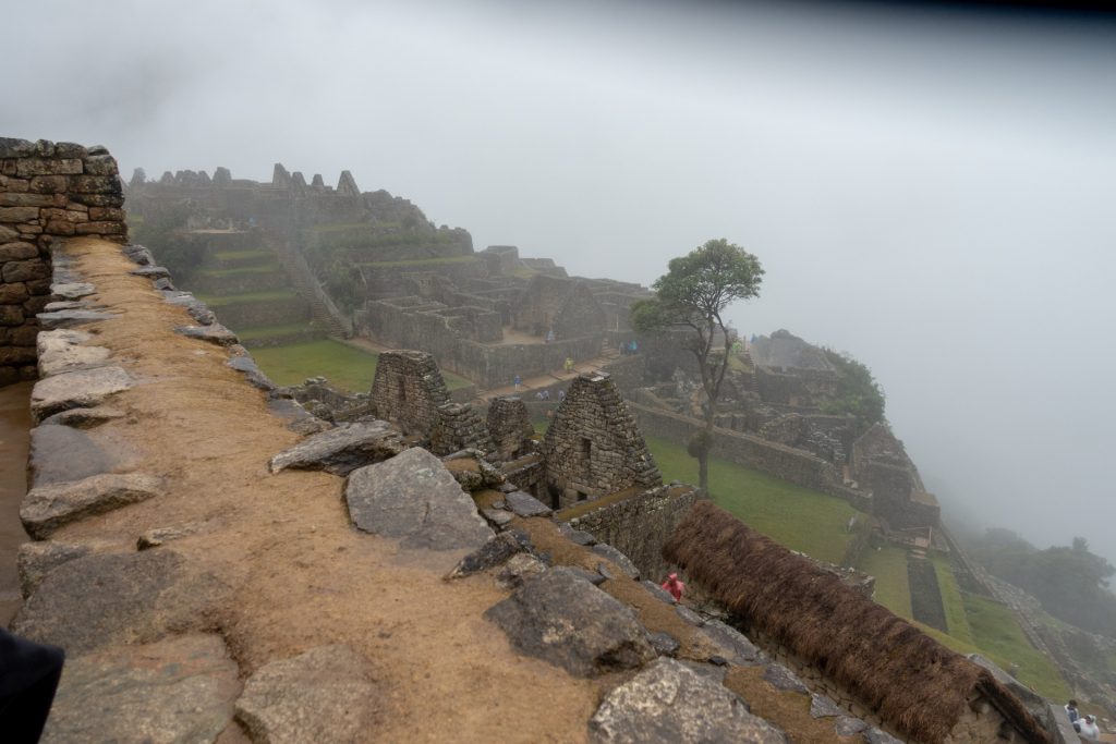
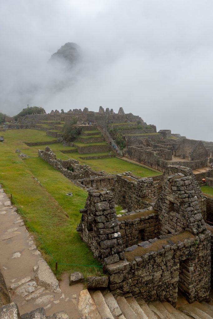
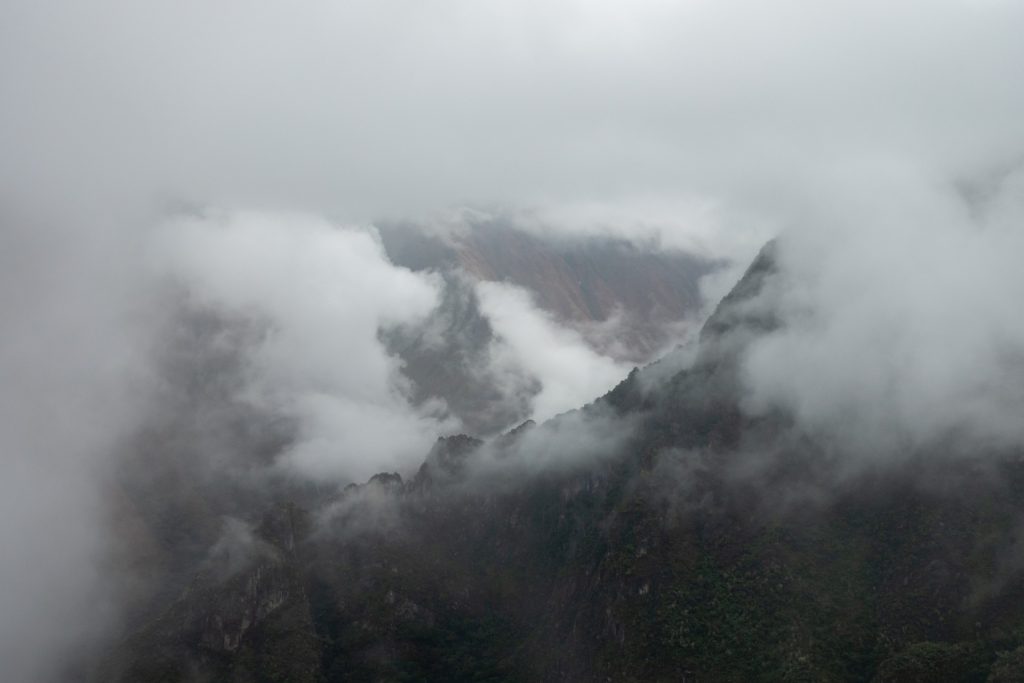
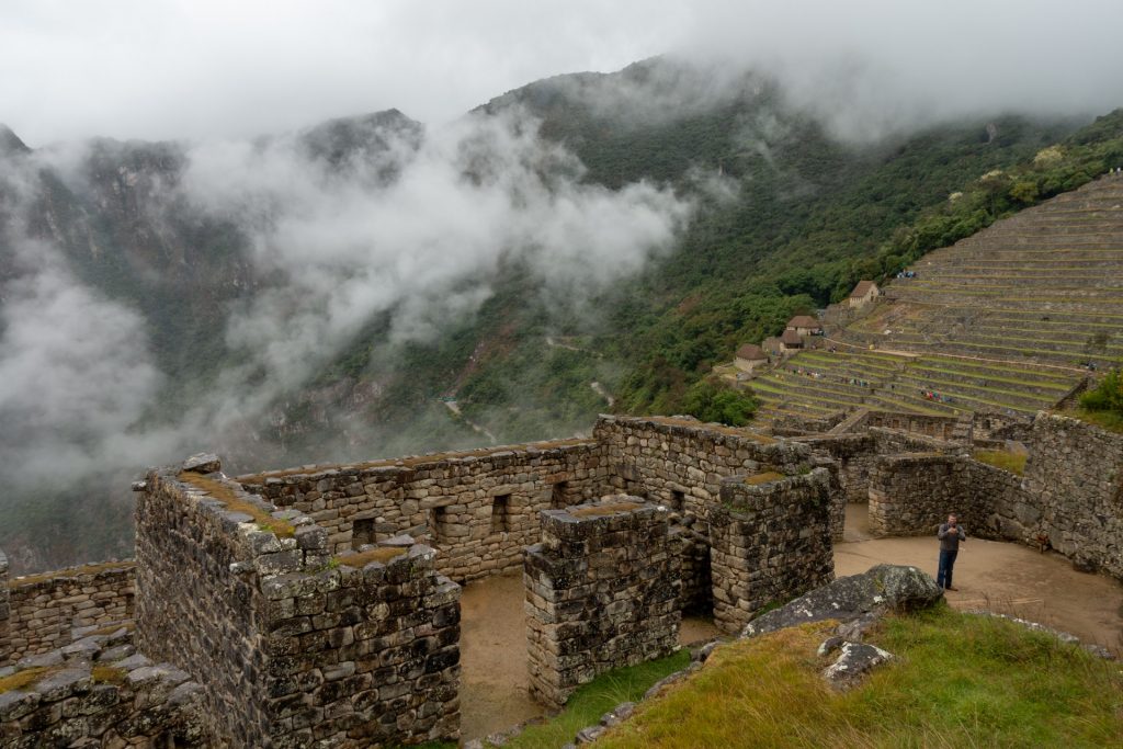
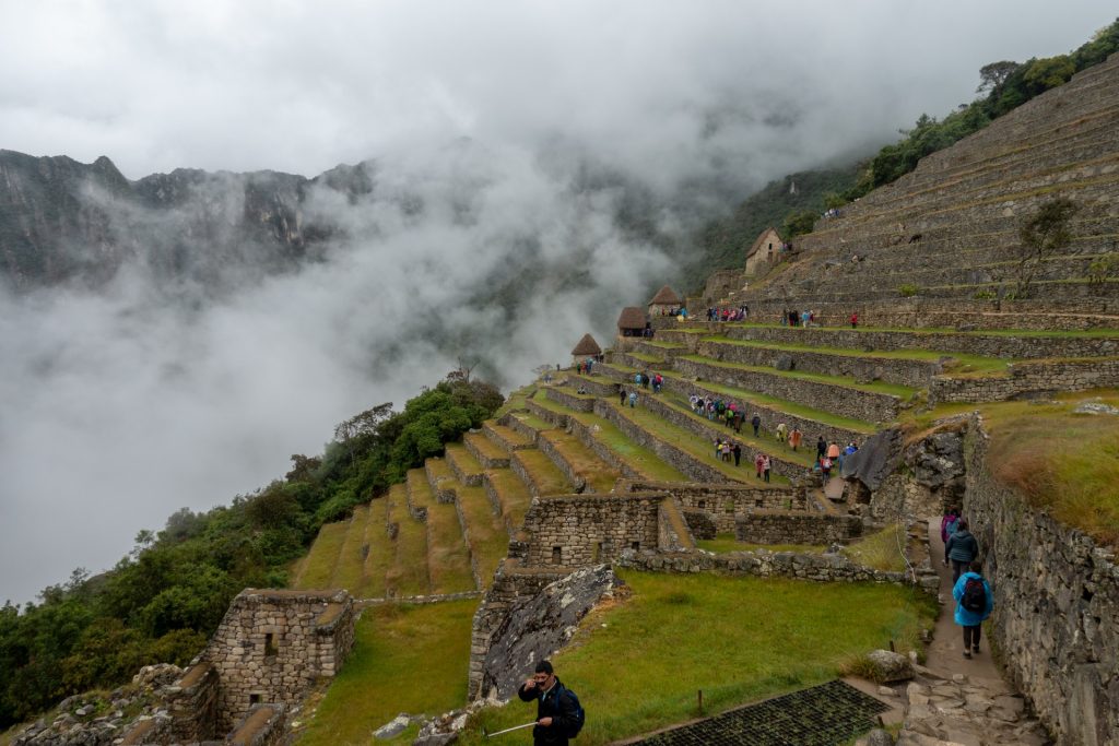
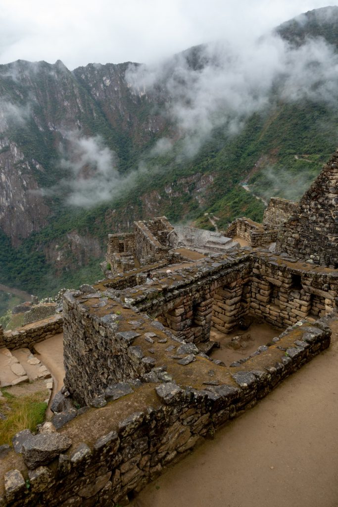
We woke up very early, at 4:00 am because we wanted to see the sunrise at the top, but unfortunately lucky weather left us and Machu Picchu met us with heavy rain and fog. I will not lie, we were quite disappointed to see a “white milk” instead of the famous ruins after days hiking to it . We were tired, wet and cold… but the clouds began to disperse and a mysterious and soaring Machu Picchu appeared in front of us. The atmosphere of the place was mesmerizing and mystical.
The picture below is a 360 photo, click and drag to look around, scroll to zoom!
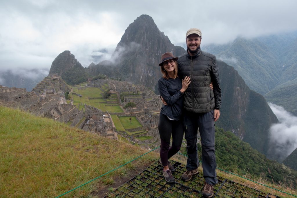
Our sunrise on Machu Picchu… 
guess, what is behind me 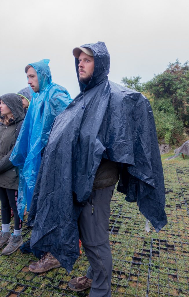
wet and cold 

Often mistakenly referred to as the “Lost City of the Incas”, it is the most familiar icon of Inca civilization. The Incas built the estate around 1450 but abandoned it a century later at the time of the Spanish conquest. Although known locally, it was not known to the Spanish during the colonial period and remained unknown to the outside world until American historian Hiram Bingham brought it to international attention in 1911.


In the Quechua Indian language, “Machu Picchu” means “Old Peak” or “Old Mountain.” Unfortunately, most cities built by the Inca civilization were destroyed by the Spanish conquest. Machu Picchu was in a hidden location—invisible from below—and not found, making it one of the most well-preserved Inca cities and an archeological gem.
The picture below is a 360 photo, click and drag to look around, scroll to zoom!
The Incas were some of the best masons in the world. The structures were so well built with a technique called ashlar (stones that are cut to fit together without mortar) that not even a knife blade can fit in between stones.


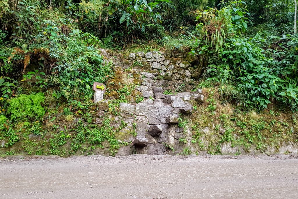
inca path to climb the hill to MP 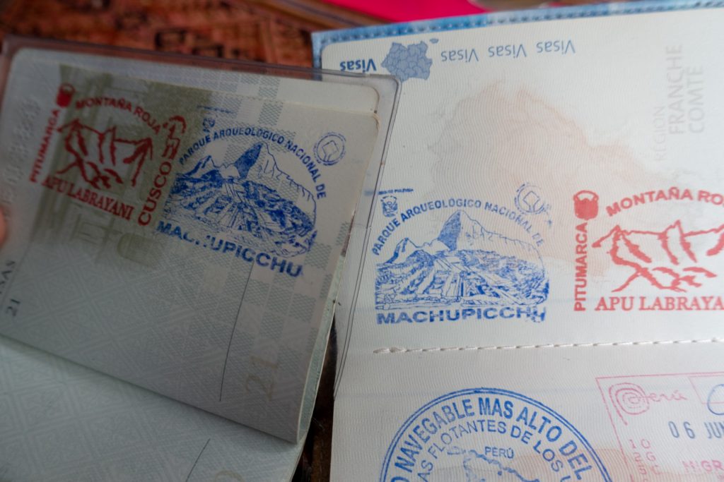
At the exit, you can put a stamp in your passport.
After 5 days of adventure through incredible nature we had to go back to the reality to our comfortable bed in the hostel… But first we had to walk 10 km back to Hidroelectrica and to drive 6 h back to Cuzco.
2 Replies to “Peru, impressive Machu Picchu”
Dear Alena,
I came across your travel blog when searching for “Tereshchenko Peru”. The reason is that when I was growing up in Peru, starting in 1955, we lived on a sugar cane estate called Laredo, close to Trujillo, in the North. A colleague of my father’s was called Tereshchenko (I forget his first name now). He was in charge of the research station, and lived in Laredo with his wife, no children. Are you in any way related to him?
It would be great if you could reply to this. I live now in Austria! All the best to you and Wout.
Dear Ulrike,
Thank you for this message and attention for our blog 🙂
1955 should be approximately generation of my great parents. Unfortunately I don’t know anyone in our family that would live in Peru. But this generation also didn’t like to talk a lot…
The history of Russia is quite dark and messy in the 20th century. A lot of archives were lost due to the revolution, the 2WW, soviet regime, etc. people prefer not to talk about the past or about family who lives abroad because it could be dangerous.
I think the best is to check Peru’s archives of that city who lived there at that time if you have this opportunity.
All the best for you!
Alena