Patagonia, Part 1
Originally Patagonia wasn’t part of our plan, but since we had to buy warm clothes in New Zealand, we decided why not. Besides, Alena has a former colleague in Patagonia who she was very happy to meet again.
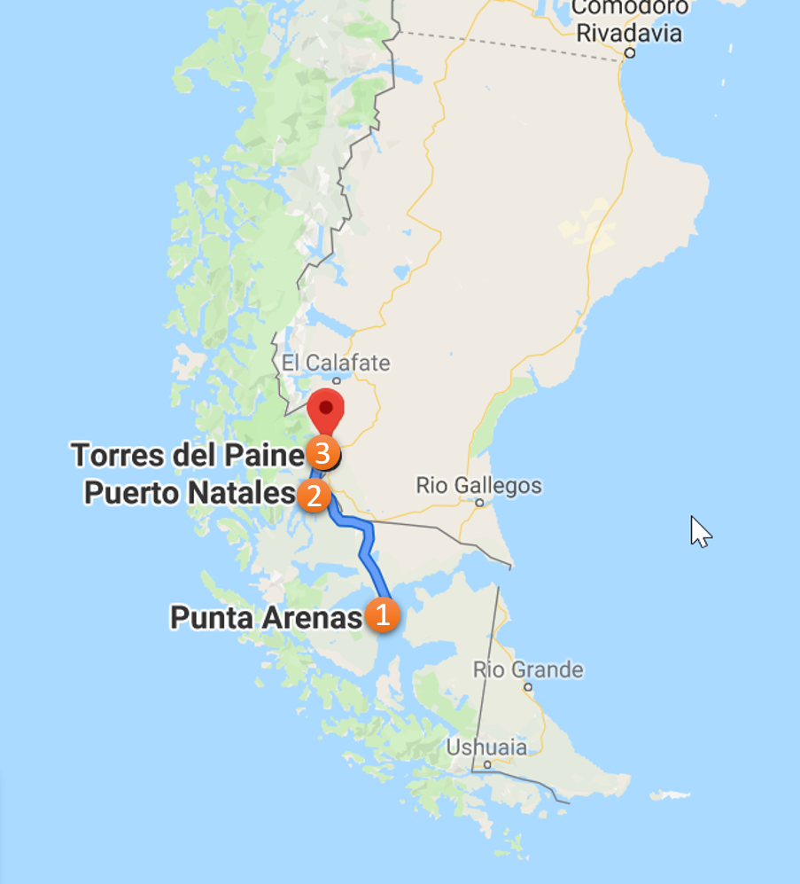
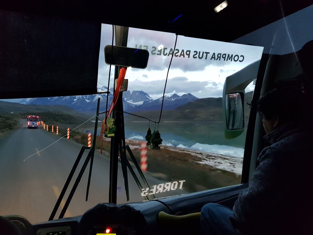
To get to Patagonia’s most famous park, Torres del Paine, you first need to get to the nearest town to the park, Puerto Natales. From the capital of Chile, Santiago, there are 3 ways:
1) – 4 hours by plane to Punta Arenas, then 3 hours by bus to Puerto Natales (the most convenient and fastest option)
2) – 2-3 days by bus, and crossing the border 2 times (Chile-Argentina-Chile), as from Chilean Patagonia to the north
To make on time it for the last warm sunny days in the park, we chose the first option and took the buses back to save on CO² emissions.
Useful information at the end of the article.
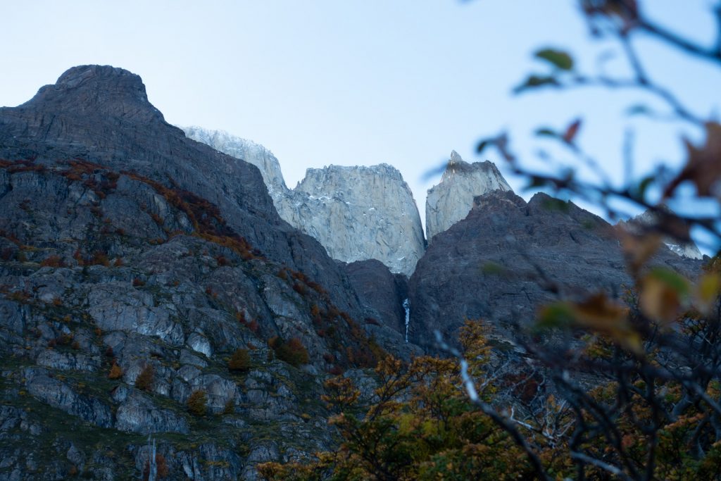
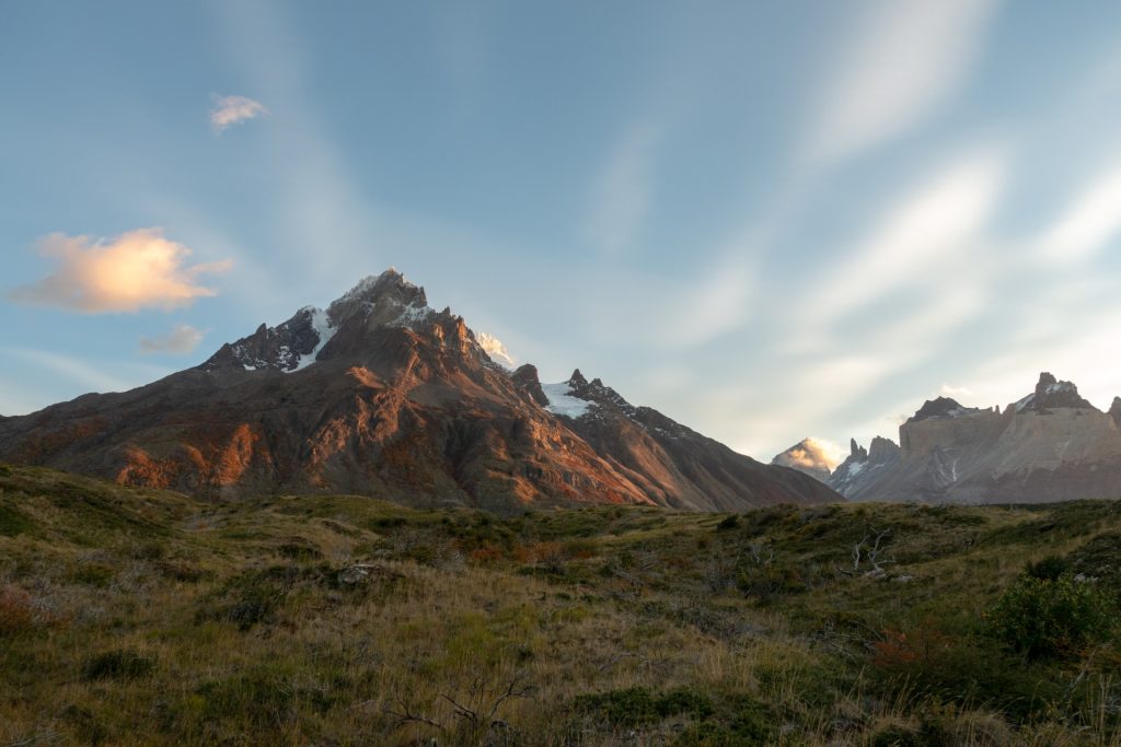
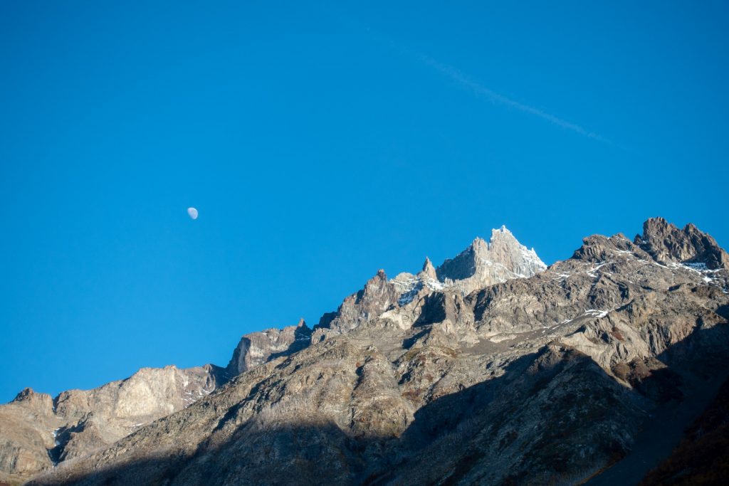
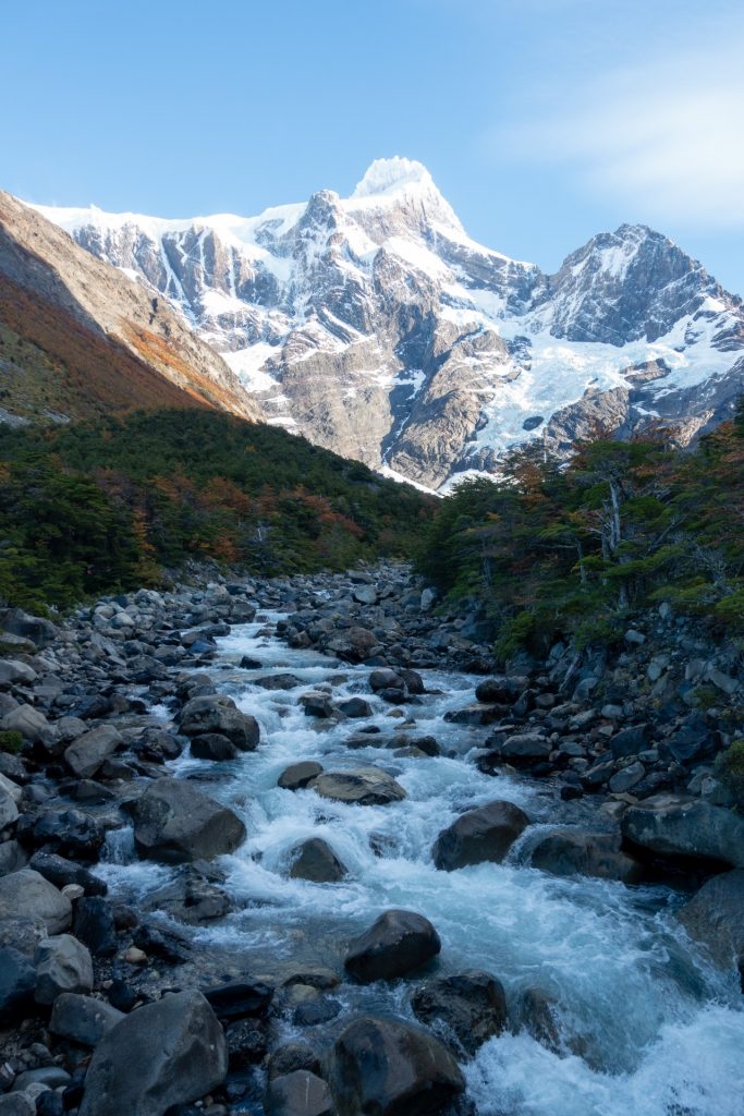
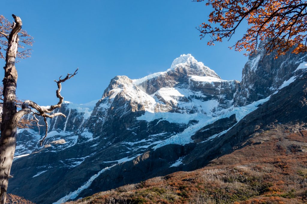
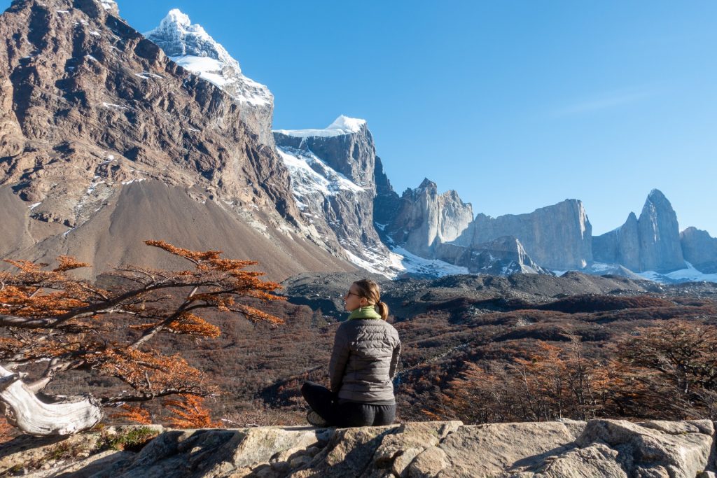
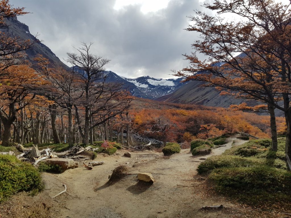
We’re very happy that we went, because Patagonia has become one of the brightest and most impressive moments of our journey around the world. I don’t like cold, and yes, it was cold in some places (not like in Siberia, of course, but -2 C minimum), but we haven’t seen such mountains and glaciers anywhere! Landscapes were breathtaking, and it is just a paradise for mountain lovers and hikers. There are a lot of trails in the region, including multi-day hikes.
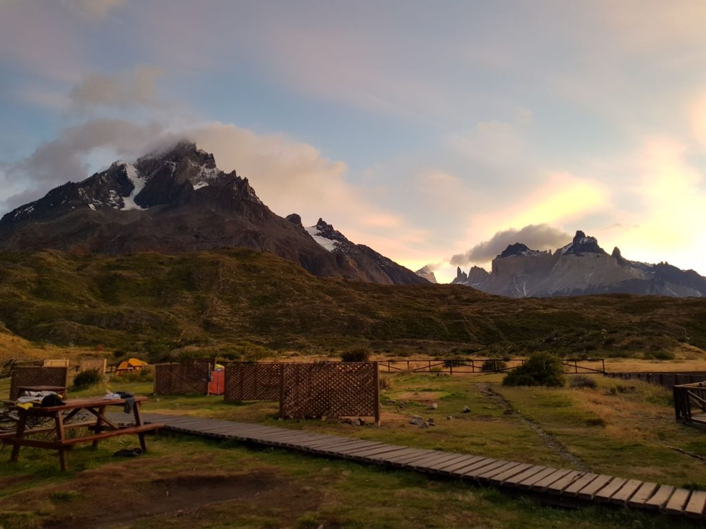
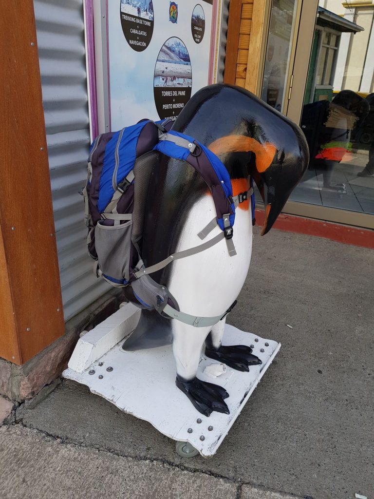
Patagonia is located between Argentina and Chile, at the southernmost end of Latin America. We boarded a plane to Santiago and headed south, strange as it may seem, to the snow (in the southern hemisphere, the cold is in the south 😊). We started in the Chilean part of Patagonia, the city of Puerto Natales, where my friend lives, and which serves as a starting point for hikes in one of the most famous national parks in the region – Torres del Paine.
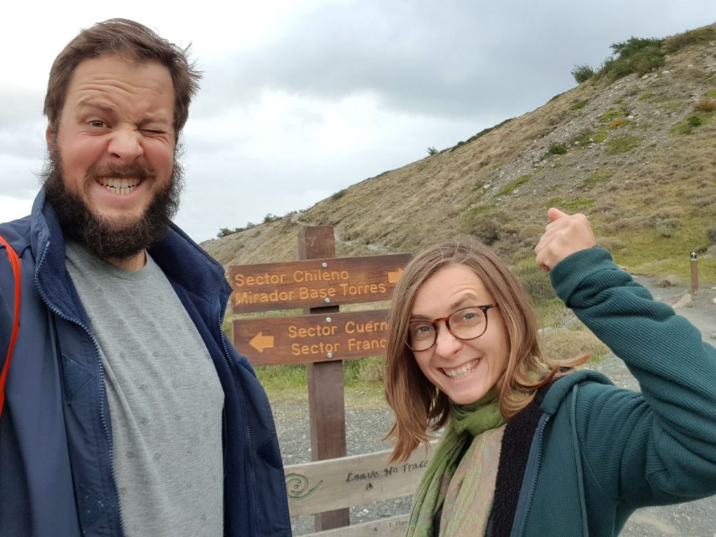
The entrance to the park is not cheap, so the best option is to spend a few days overnight in the park. The most famous tracks are O and W, named after the shape of the routes – O goes around the mountains, and the W, well, looks like a W!
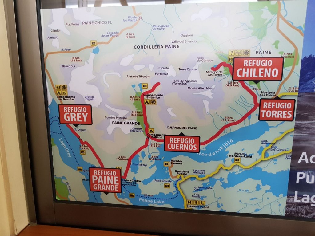
“W” Trek 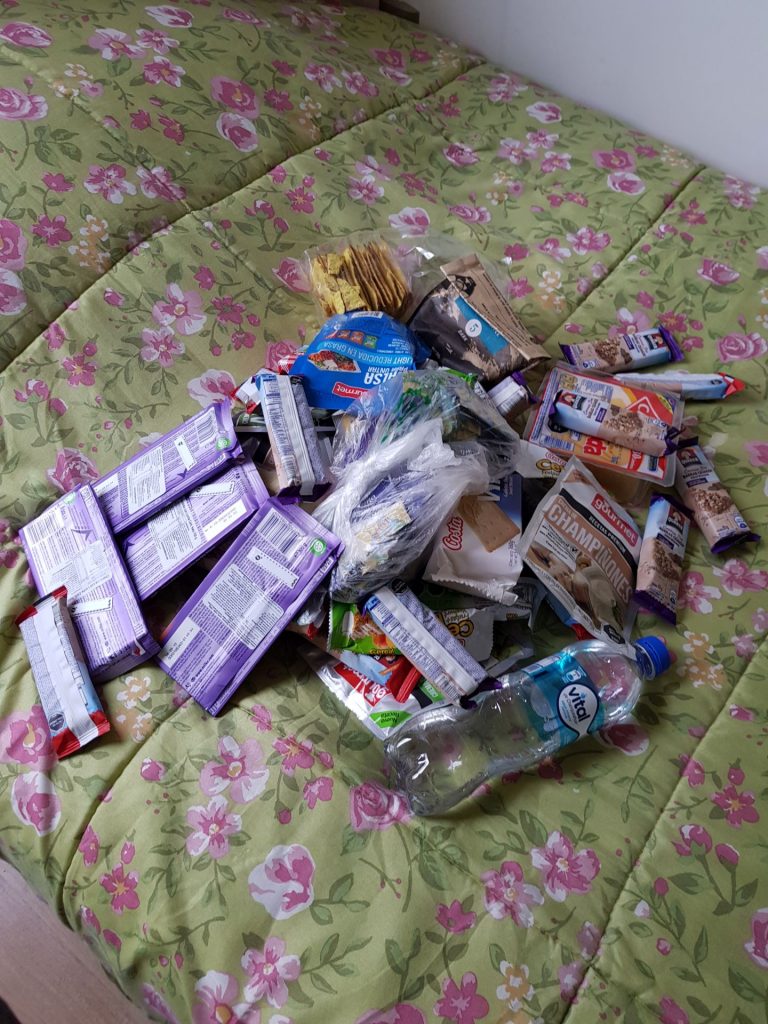
Stocking up on energy!
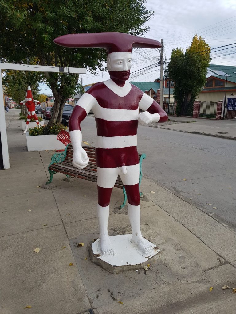
Famous figures of Patagonia, depicting the local pre-colonial tribe, that we saw many times throughout Chile:

During the season (December – March), the park is full of tourists, and for multi-day treks you need to reserve in advance. The fact is that wild camping is prohibited, and the tent can only be set up in specially organized campsites. There are only a few of them, so there is limited space.
We went to the park at the end of April, to do the W route (it was the end of the season, the campsites are closed starting from April 30th, but the park is open all year round, so you can go hiking unofficially, at your own risk). There was no problem with the bookings, we reserved everything 2 days in advance and rented the missing material for the hike in the city – gas burner, sleeping bags, etc.
We were very lucky with the weather, we consulted windguru, and it did not fail us. Even in a good season there can be strong winds and rains in the park, so it is better to check the weather forecast a week beforehand.
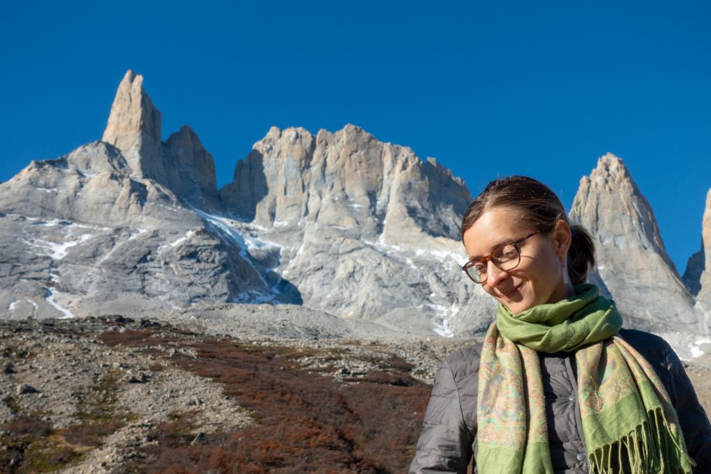
We passed the W in 5 days, we were advised to go from west to east, because in case there is wind, it will be from the back. But we were lucky, only the first and last day was cloudy, but without wind.
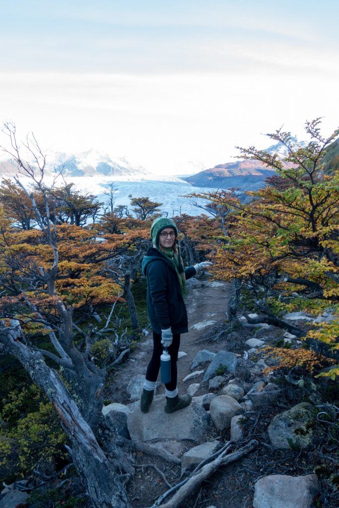
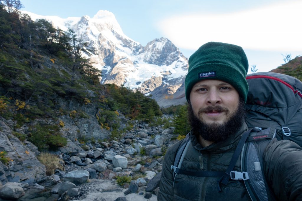
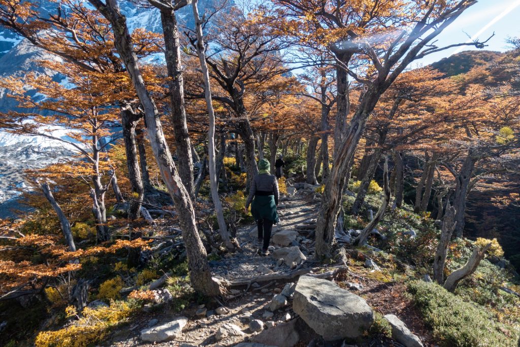
Day 1: Start with an overloaded backpack
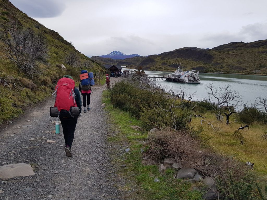
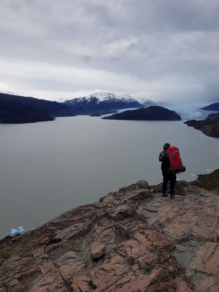
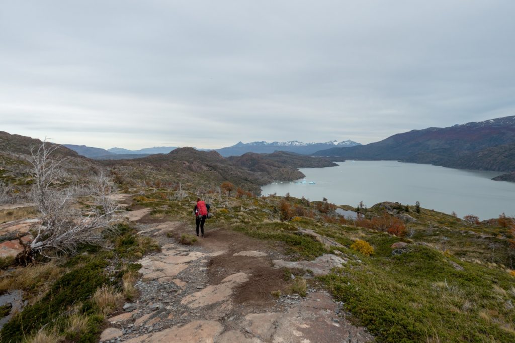
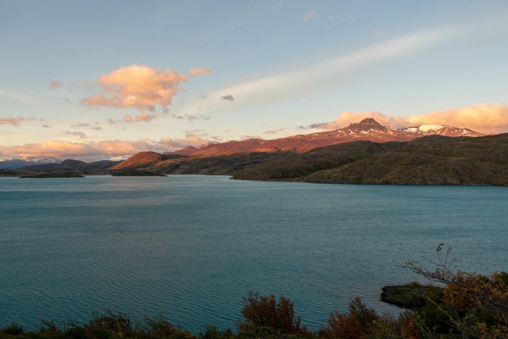
Paine Grande – Refugio Grey (11 km)
The first day of the route seemed to us not to be the most difficult, as we had to take a bus in the first half of the day (Torres del Paine is 2 hours away from the city!), and then a ferry ride, and at about 13h we started our 11 km route to Camp Grey.
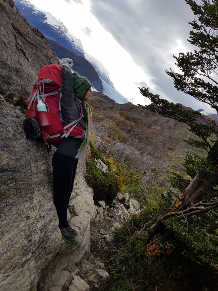
However, we overestimated our strength and complexity of the route, left without a proper dinner and breakfast before, and overloaded our backpacks. For example, in my backpack I had a liter of wine, salt and pepper in glass jars, jam… well, in short, it was our first long hike in the mountains with backpacks, we learn from our mistakes 🙂

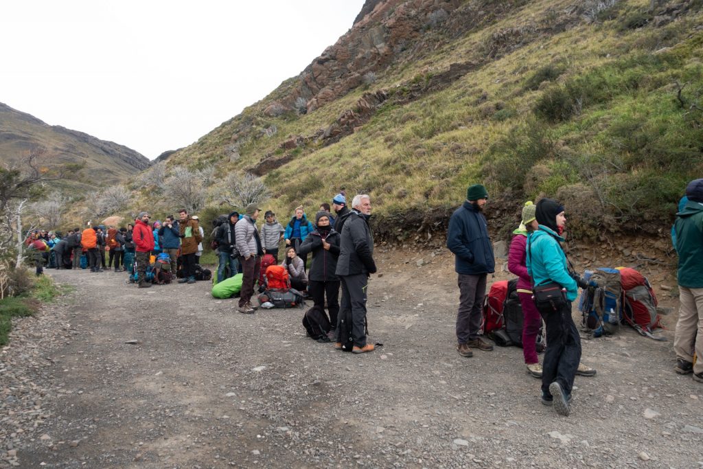
The line for the ferry, find bearded Wout! 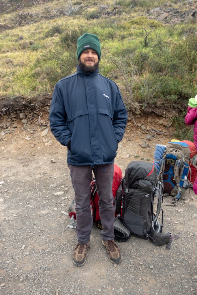
Well, he looks like a priest here! 

We go left… 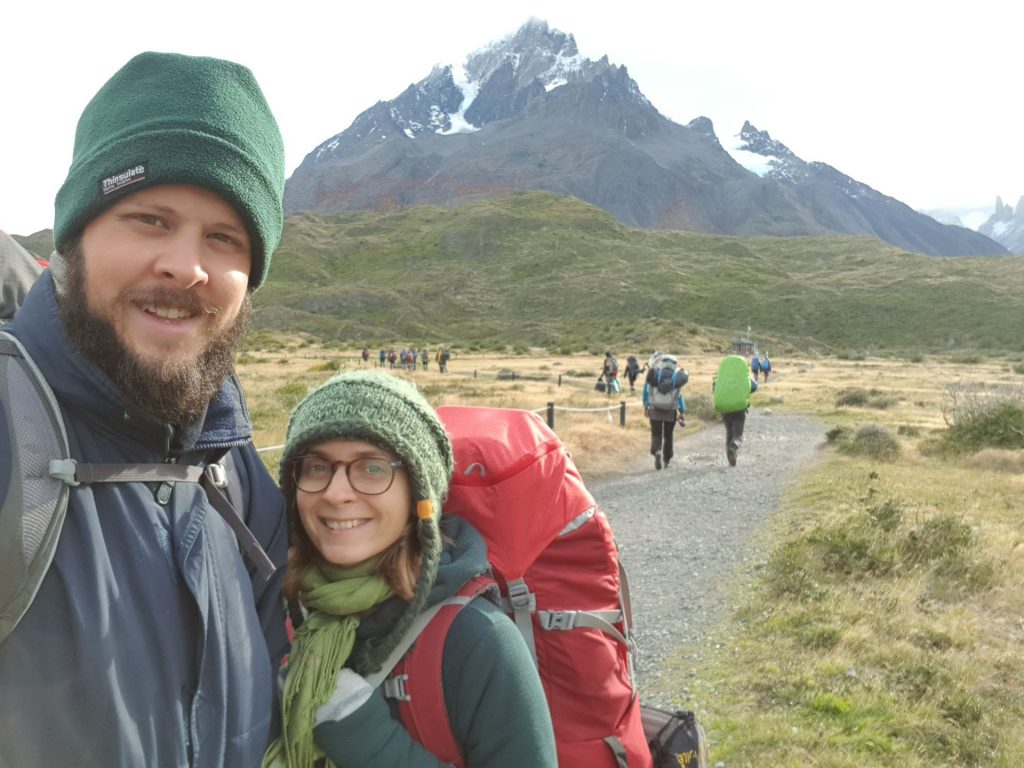

“I’m tired, I’m leaving” (Note for non-Russians, these are famous words of Boris Yeltsin when passing power to Putin) 
Absolute beauty.


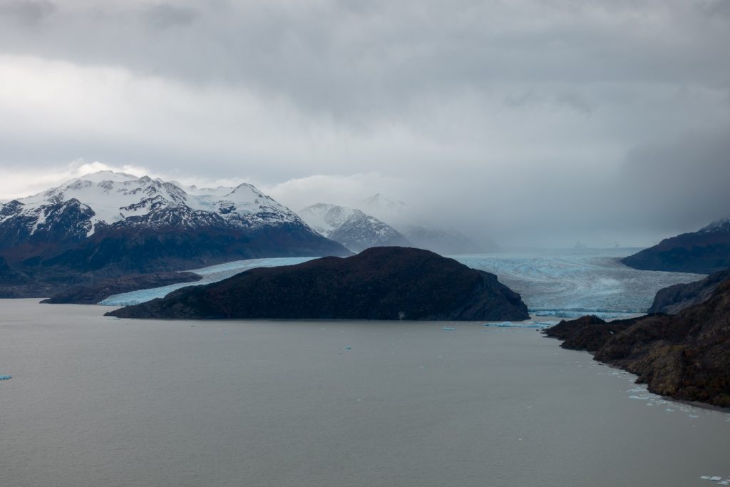
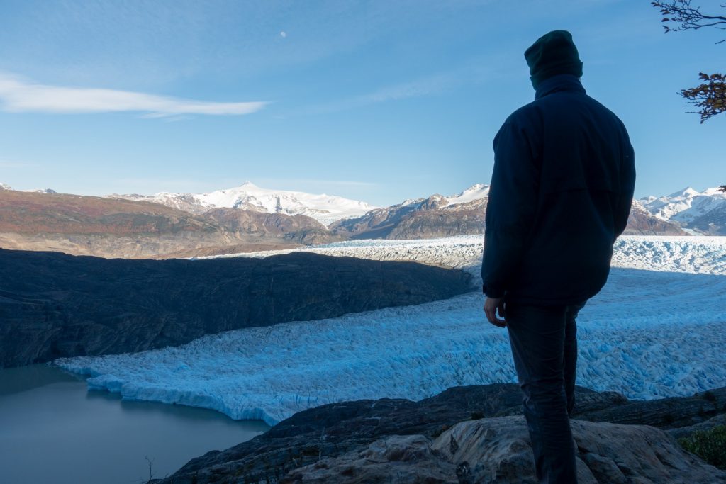
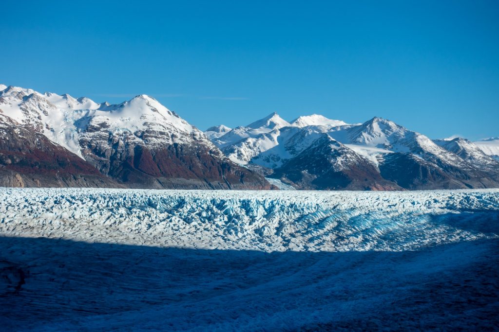
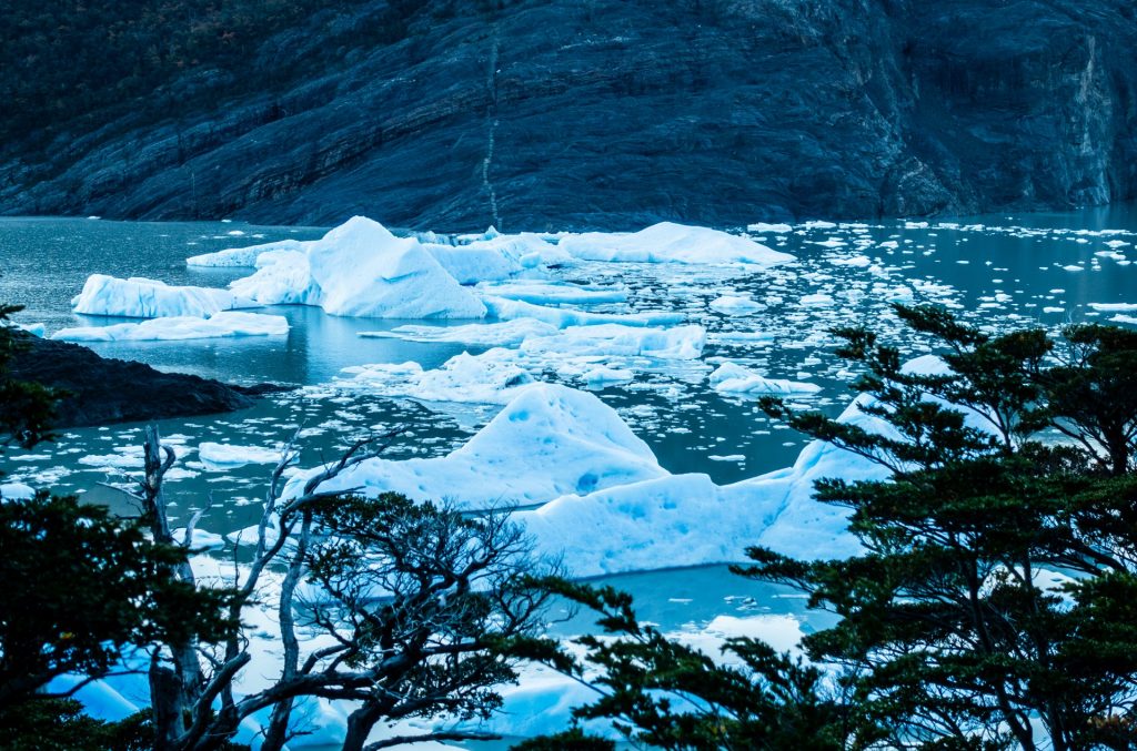
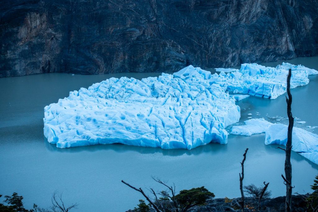
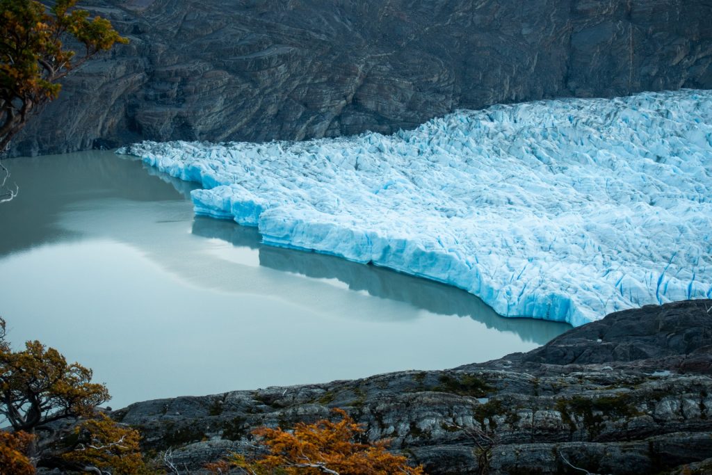
Our first glimpse of Glacier Grey 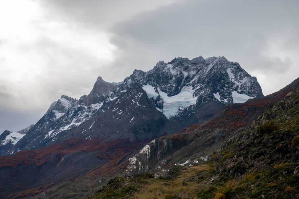
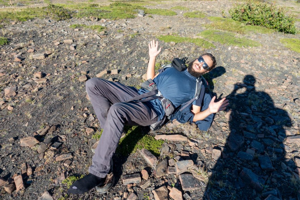
I rested a lot, like this, in this position. 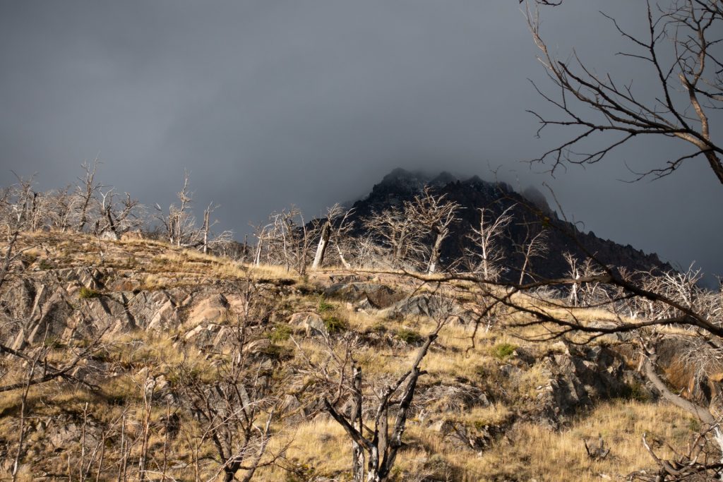
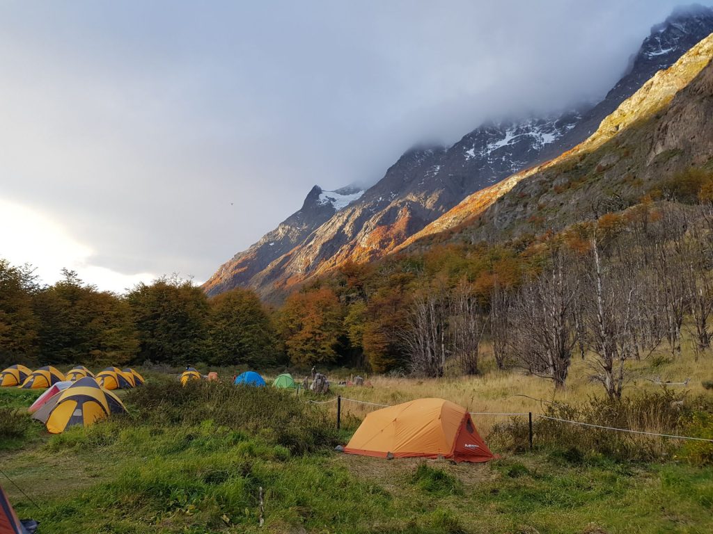
Our first camp 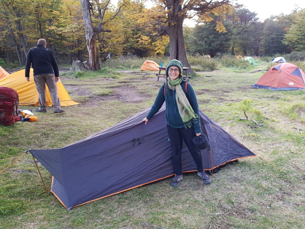
The tent that we borrowed from Alena’s friend Anya
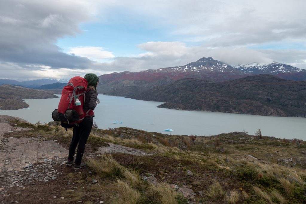
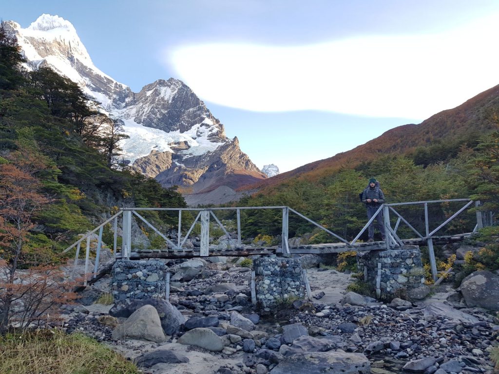
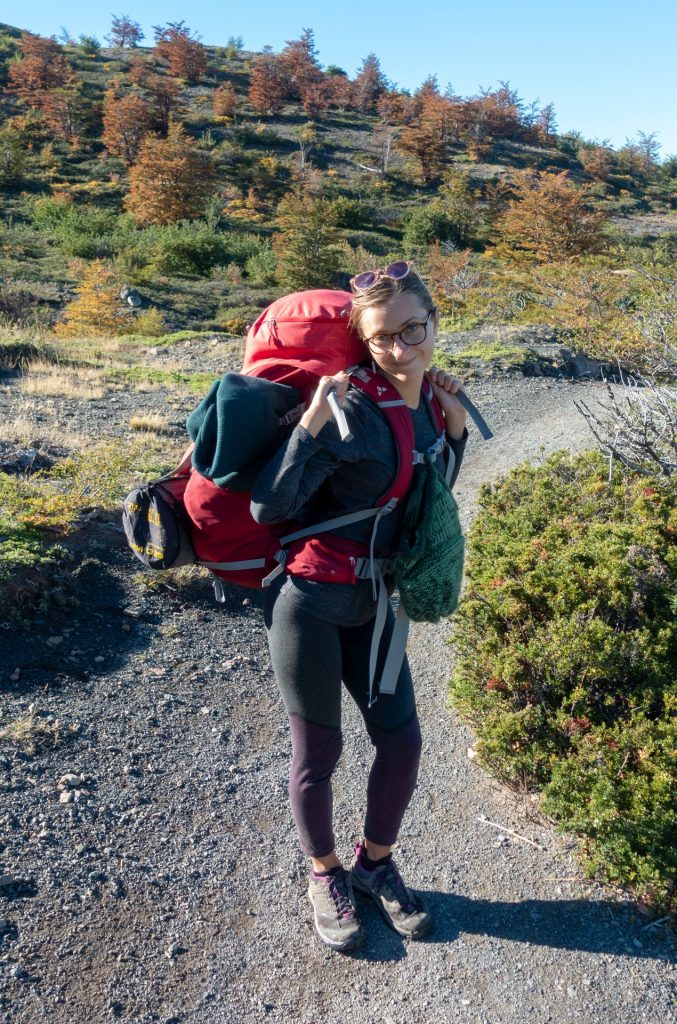
Day 2: Glacier Grey and a slightly lighter backpack
Grey – Paine Grande (18 km), of which 7 km are without backpack to the glacier viewpoint
On the first day it was very hard to walk, and the unhappy 11 km we covered in 5.5 hours, and I was horrified to think how I would go back the next day. In the end, it wasn’t that bad. A good sleep, eating well and drinking the wine made my backpack lighter and my mood better. 18 km, which we walked the next day was much easier than yesterday’s 11, magic!))
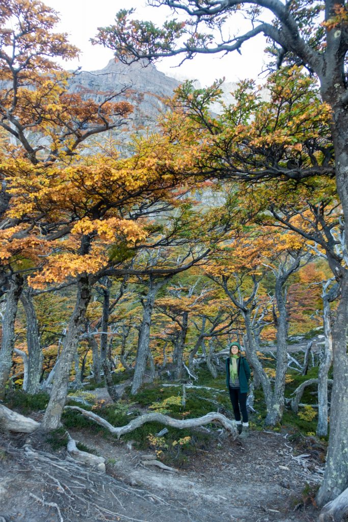
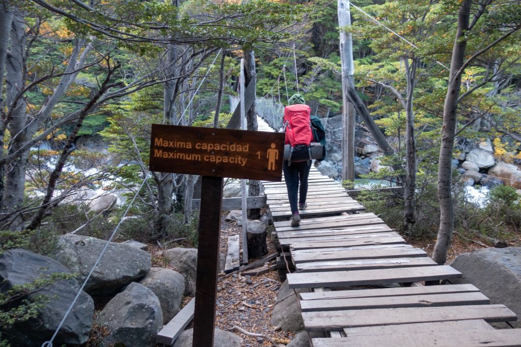
In the morning, we decided to get closer to glacier Grey. The way to it lies through a forest and a couple of hanging bridges, crossing them was the most fun part. The second bridge was especially entertaining, 40 meters long over a deep chasm!

Wobbly! 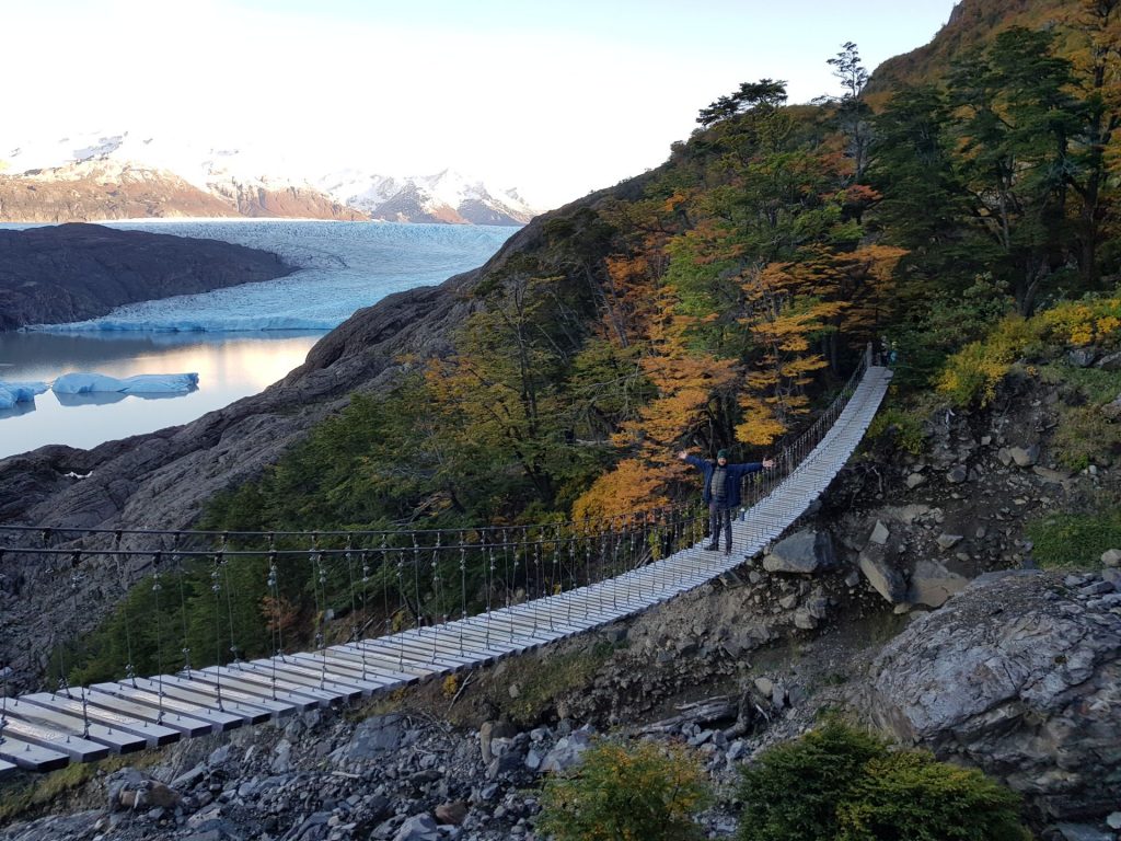
It looks lower than it is! 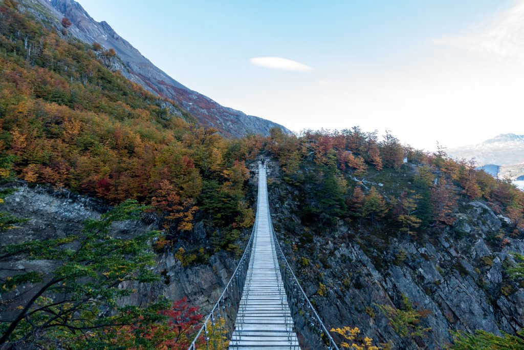

The picture below is a 360 photo, click and drag to look around, scroll to zoom!
The road back to the campsite for Paine Grande, despite the morning “walk”, was not very exhausting, but still difficult. At the end of the day we were rewarded with a great sunset.

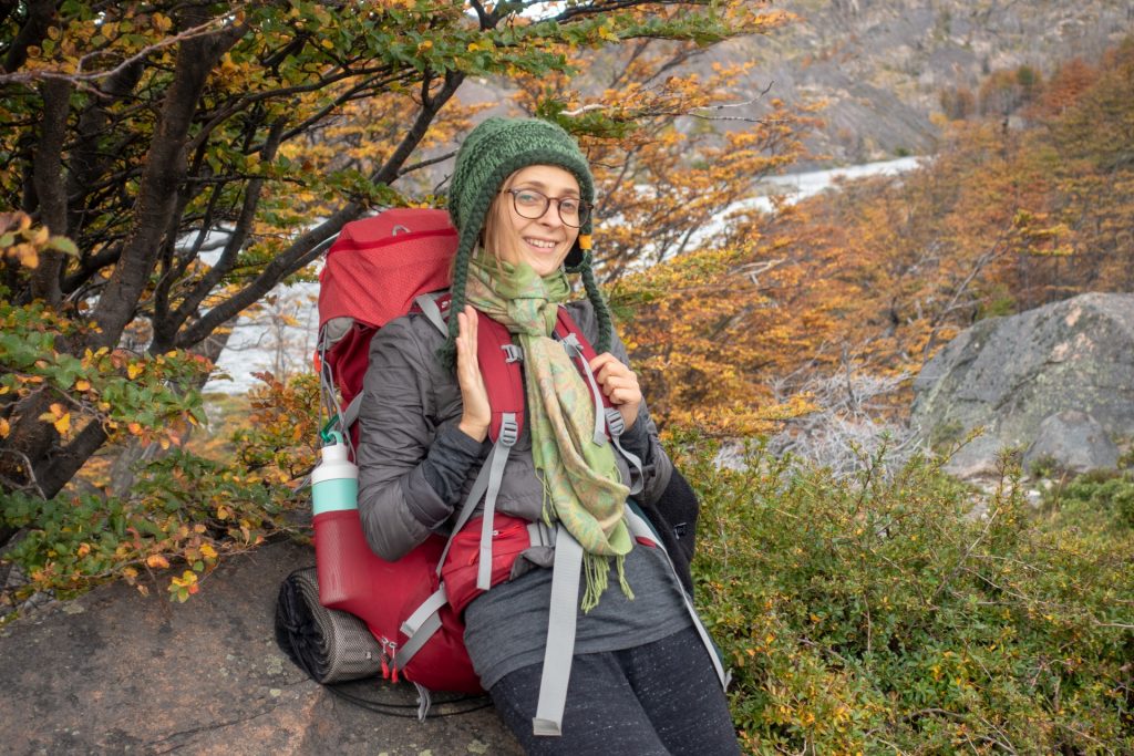
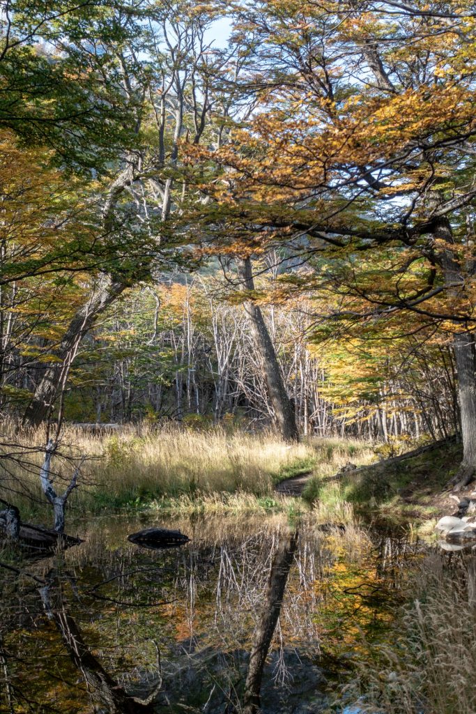
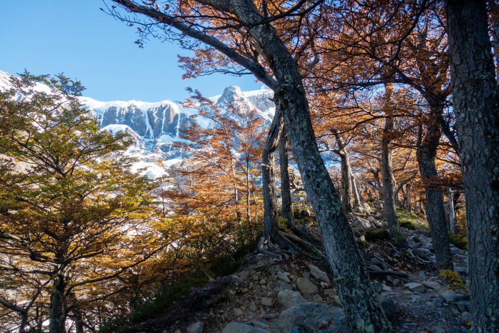
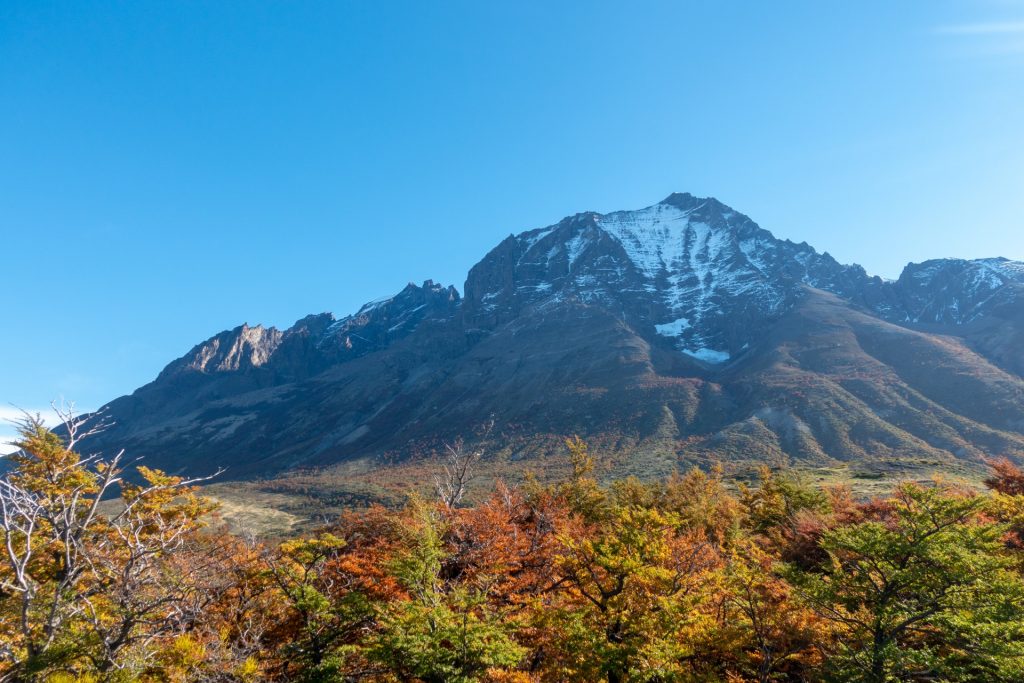
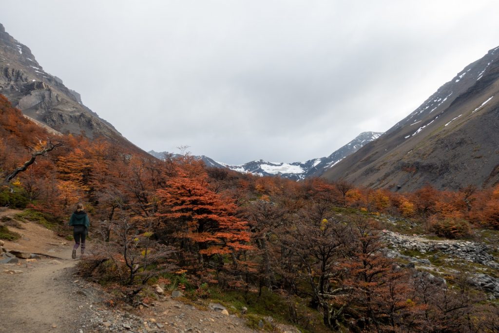
Beautiful autumn colors 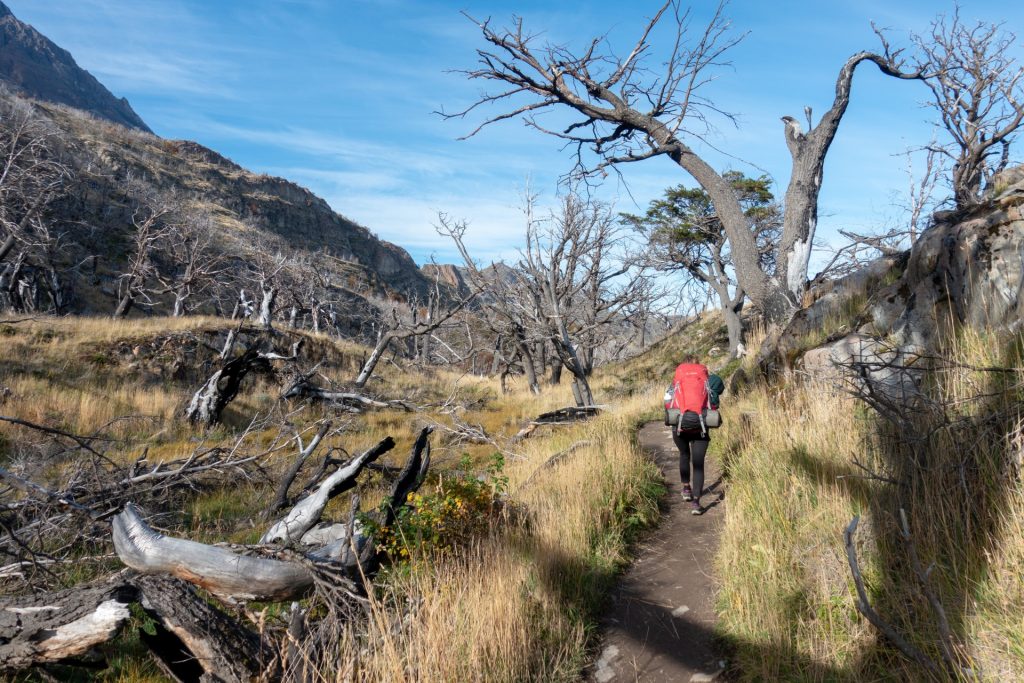
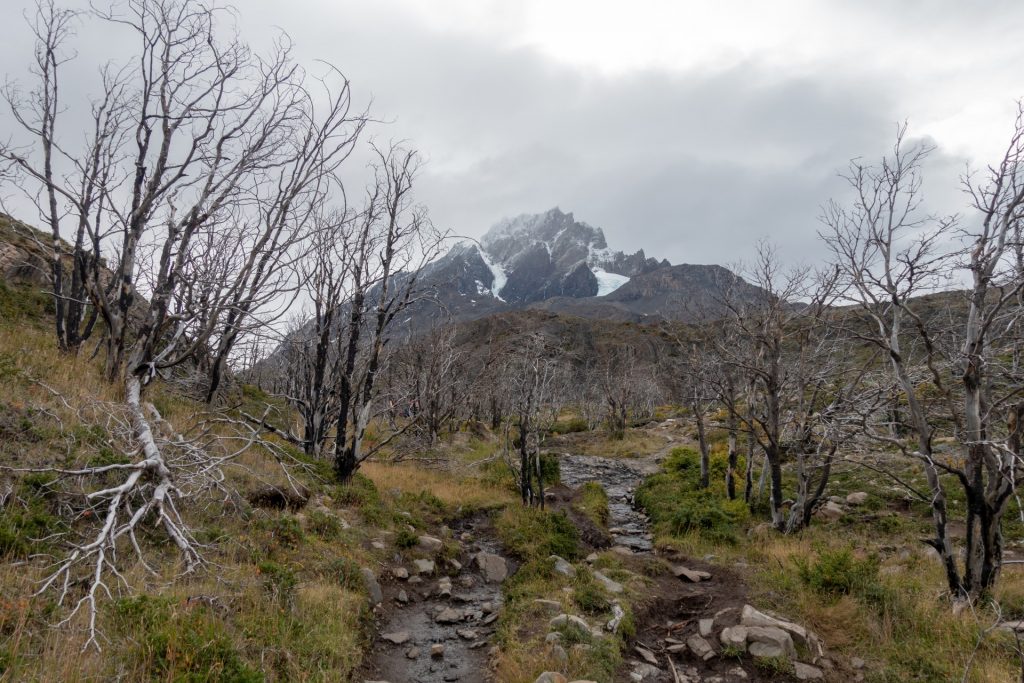
Unfortunately, the park was damaged by forest fires caused by careless tourists, so now everything is very strict. 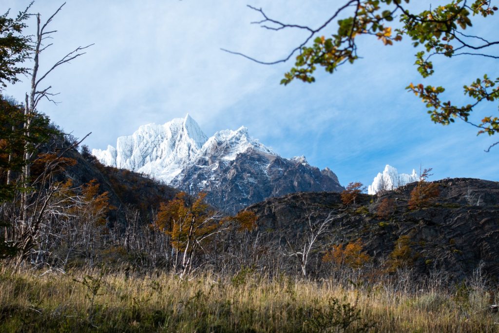
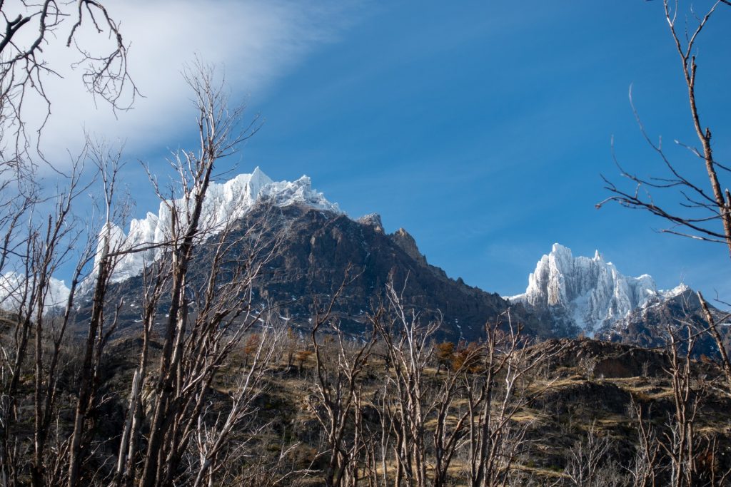
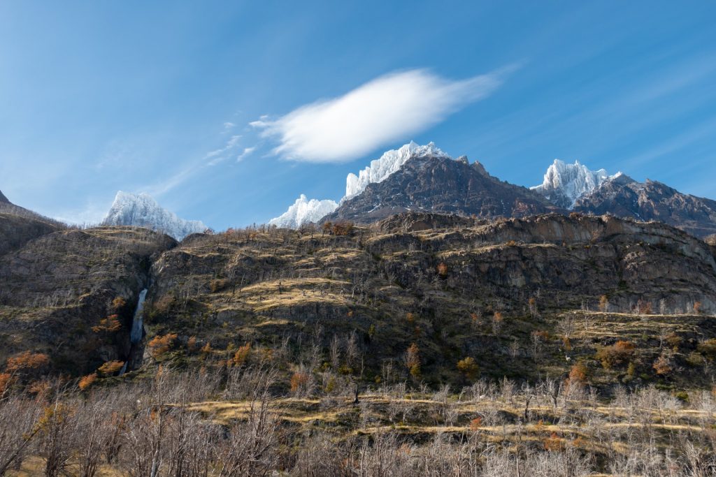
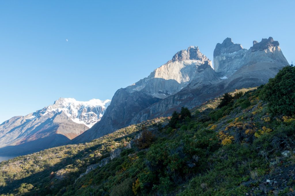
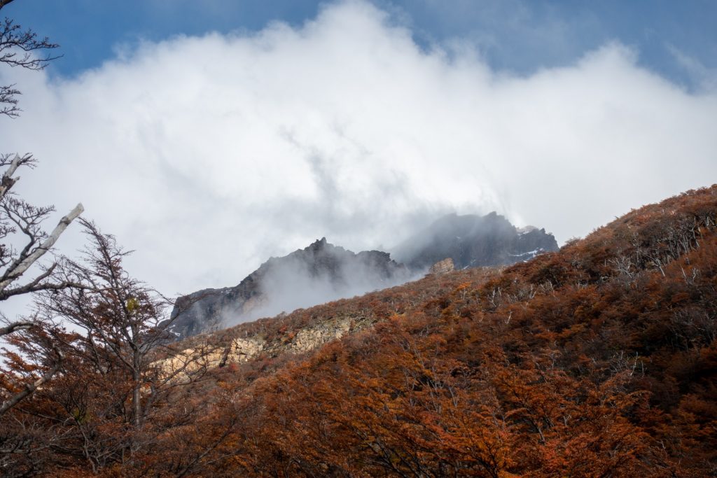
Mountains straight out of Game of Thrones 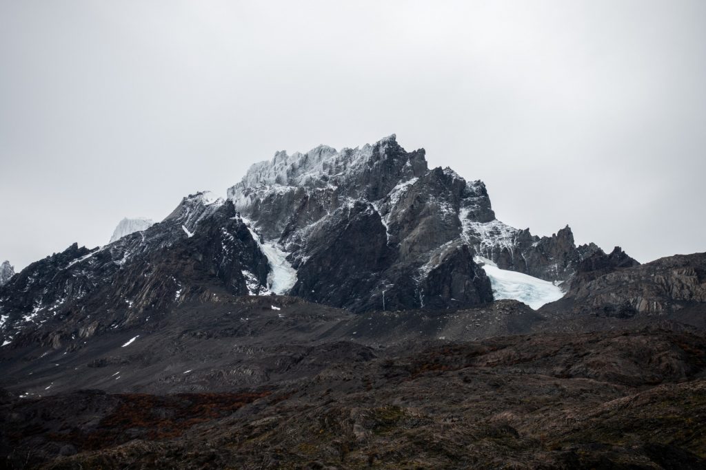
Mirror image 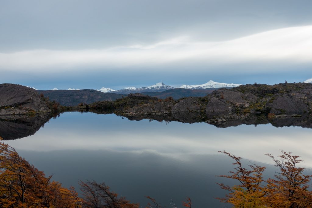
Everything is very quiet here 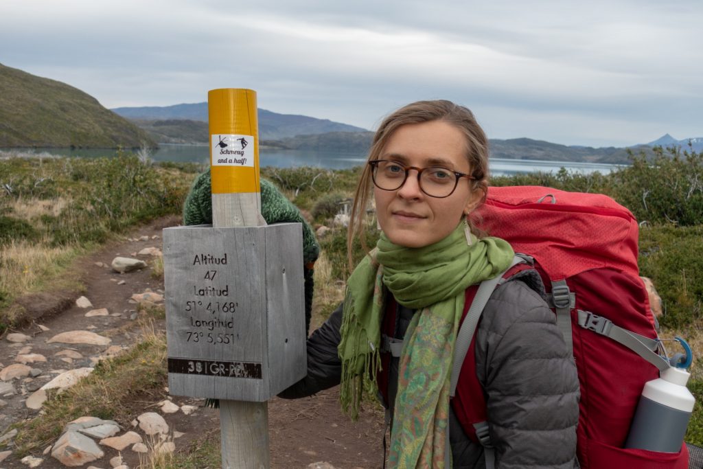
I lost my smile after 17 km 🙂
The 2nd night we had a fantastic view.
It’s a pity that we have to get up before dawn, because the days are short, and in order to get to our destination before dusk, we have to move out in the dark. To get out of a warm mattress, with legs and back still stiff from the previous kilometers to a dark and cold reality, was for me the most difficult part of the trek.

Cooking can only be done in designated areas, so hot meals are only available in the morning and evening. 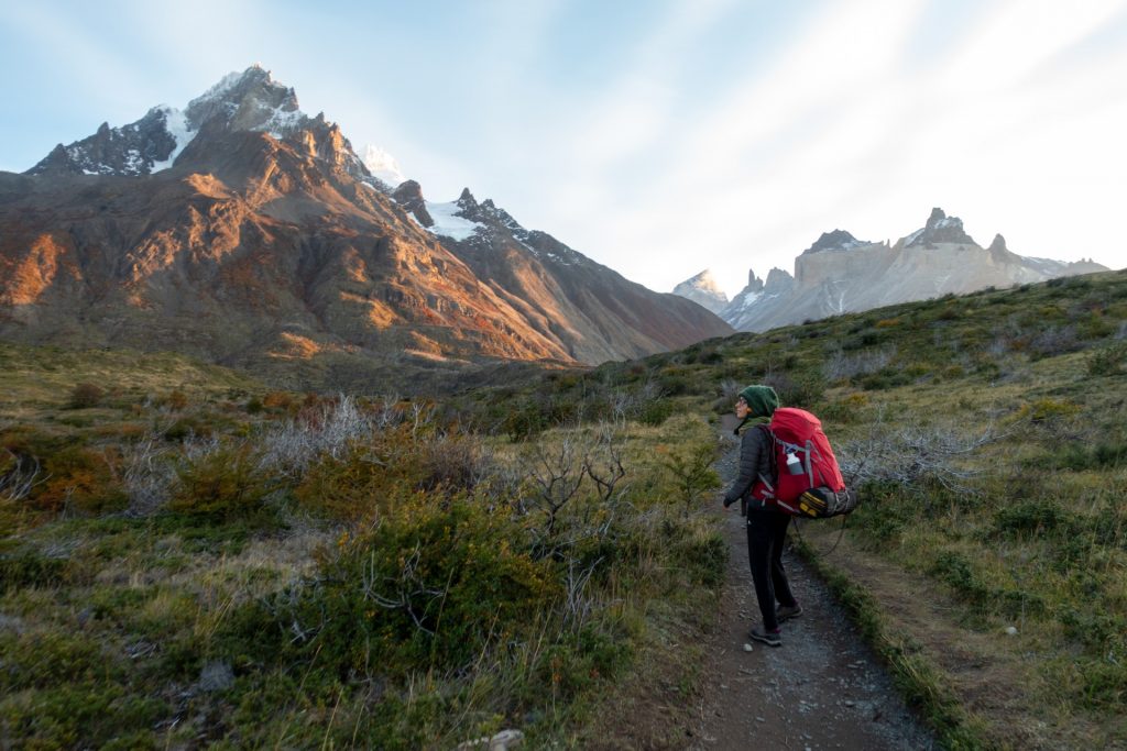

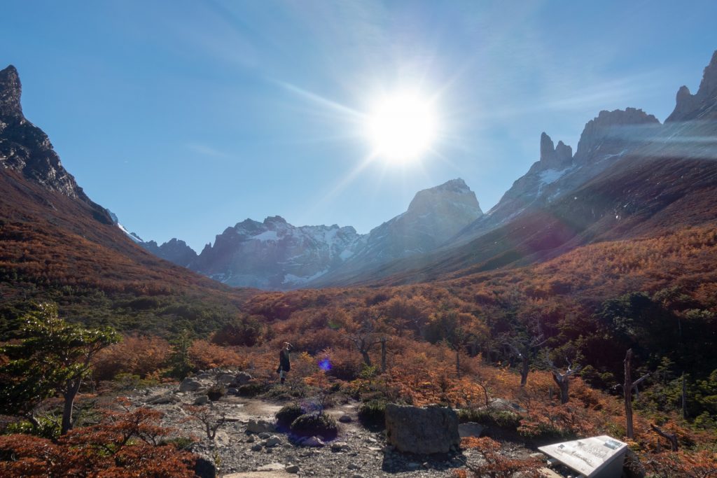
Day 3: There’s nothing better than mountains
Paine Grande – Mirador Britanico – Campamento Frances (20 km)
From Camping Paine Grande to Camping Italiano, we walked with backpacks (about 8 km). Once we got to the camp, we, like everyone else, left our backpacks downstairs and went upstairs to Britanico’s viewpoint. (5 km, climbing 600 m) and back down 5 km.


The picture below is a 360 photo, click and drag to look around, scroll to zoom!
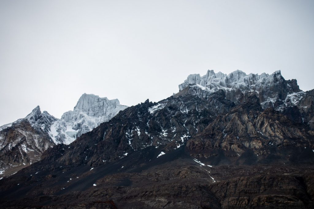
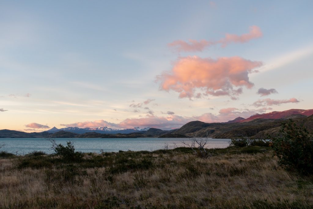
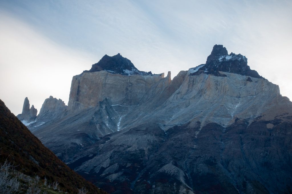
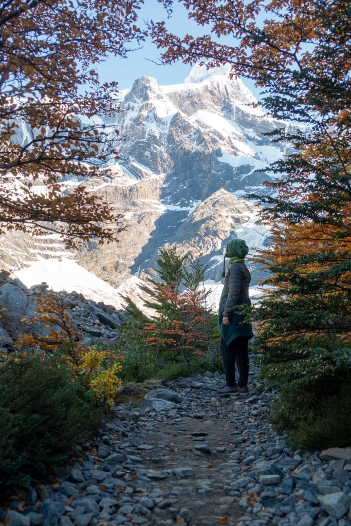
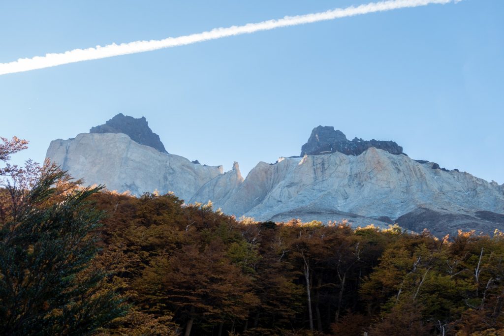
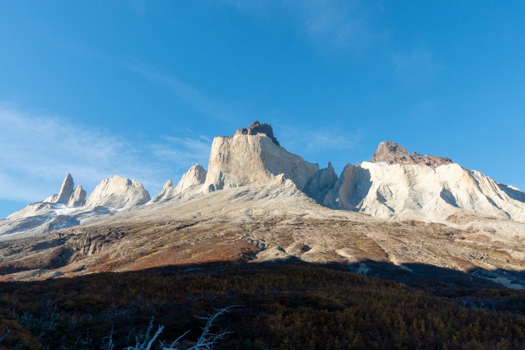
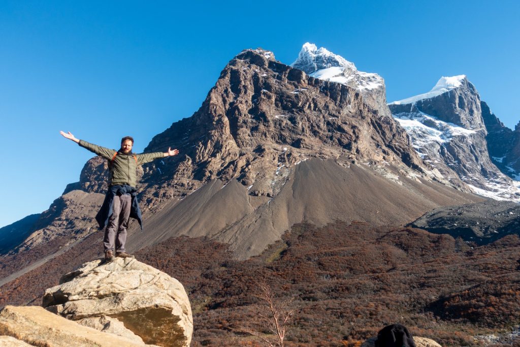
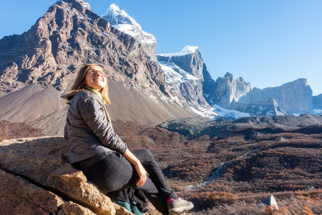
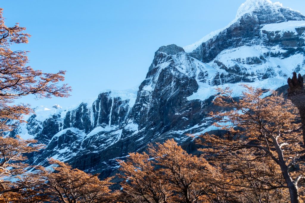
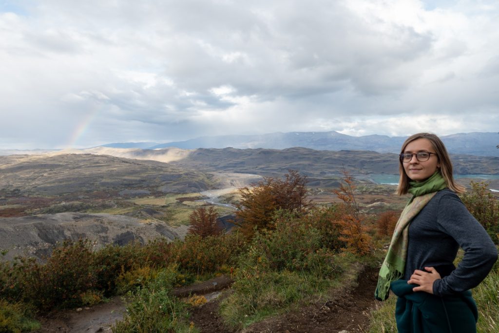
The third day on the road was the most beautiful and impressive in my mutual opinion with Wout. The mountains come from all sides, and you don’t know where to look, everywhere is very beautiful! On the one side, there are snowy peaks and constant avalanches, and on the other hand, there are bizarre shapes and colors of the cliffs without snow. Well, we are lucky again with flawless sunny weather – Patagonian Indian summer!))


The picture below is a 360 photo, click and drag to look around, scroll to zoom!
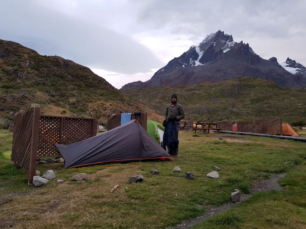
We spent at least an hour at the top of Britanico, and we had to go back to the camp quickly so that we wouldn’t have to meet the wild pumas in the dark 🙂 We spent the third night in Camping Frances, as all the neighboring ones (Italiano and Cuernos) were closed at this time of year, and there was also the best shower – hot! We set up a tent on a wooden platform, away from mice. But we were warned that they could chew through the tent if they smell food, so we had to hang everything up on a tree. At our neighbors they managed to even climb a tree and eat their chocolate!
The picture below is a 360 photo, click and drag to look around, scroll to zoom!
Day 4: Last sunny day
Campamento Frances – Сentral Sur (16 km)
The fourth day on the road was a bit boring (still beautiful, but monotonous); 16 km with backpacks along the lake with the same landscape.
Well, at least we had very good weather. I was also glad that these were the last kilometers with a backpack, the fifth day it is possible to leave them in the camp while you go up and down to las torres. Afterwards, the buses leave nearby Central Sur.
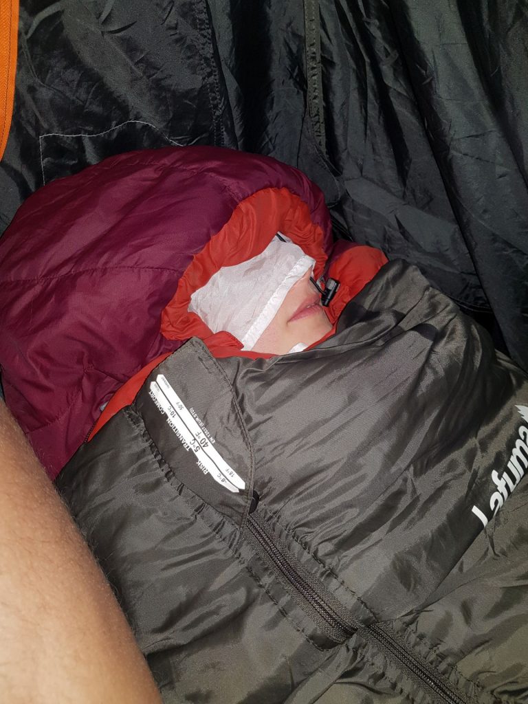
I slept in two sleeping bags, and Wout was jealous of me!)) 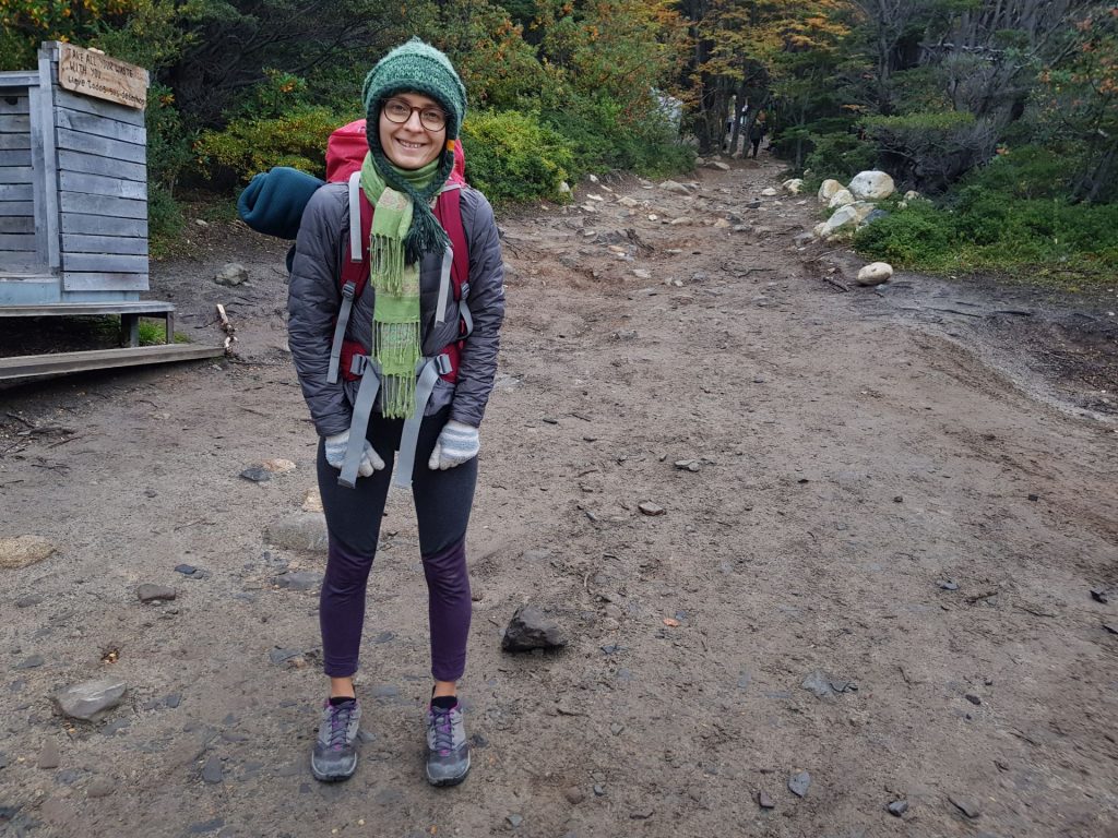
Let’s go! 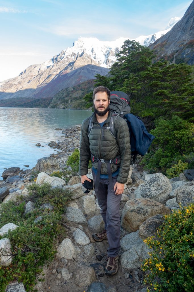

Fell backward like a turtle 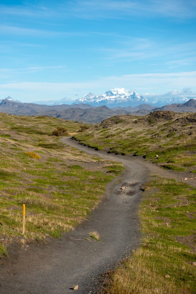


The picture below is a 360 photo, click and drag to look around, scroll to zoom!
Day 5: To the top, to the Torres!
Сentral Sur – Viewpoint Torres del Paine – Сentral Sur (19 km)
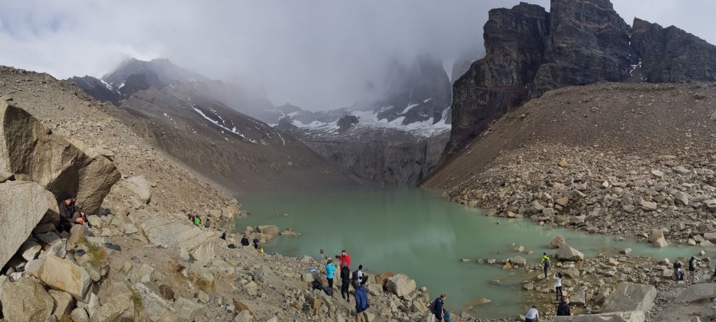
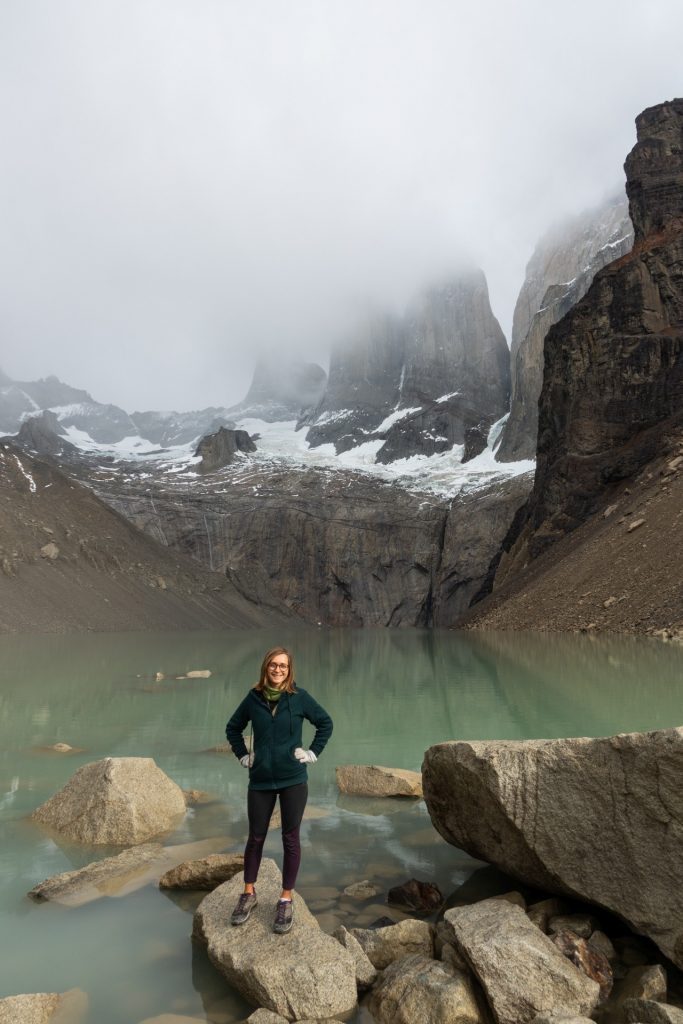
The culmination of the hike is the lake at the base of the Torres, which are three spiky “towers” next to each other (the park is named after them… or vice versa). Many people go there to meet the sunrise, but then you have to get up at 4 am if you leave the central camp. We chose to sleep until dawn! 🙂 And we did not regret it, because on the 5th day the sun left us and the whole day was very cloudy and overcast.


The picture below is a 360 photo, click and drag to look around, scroll to zoom!


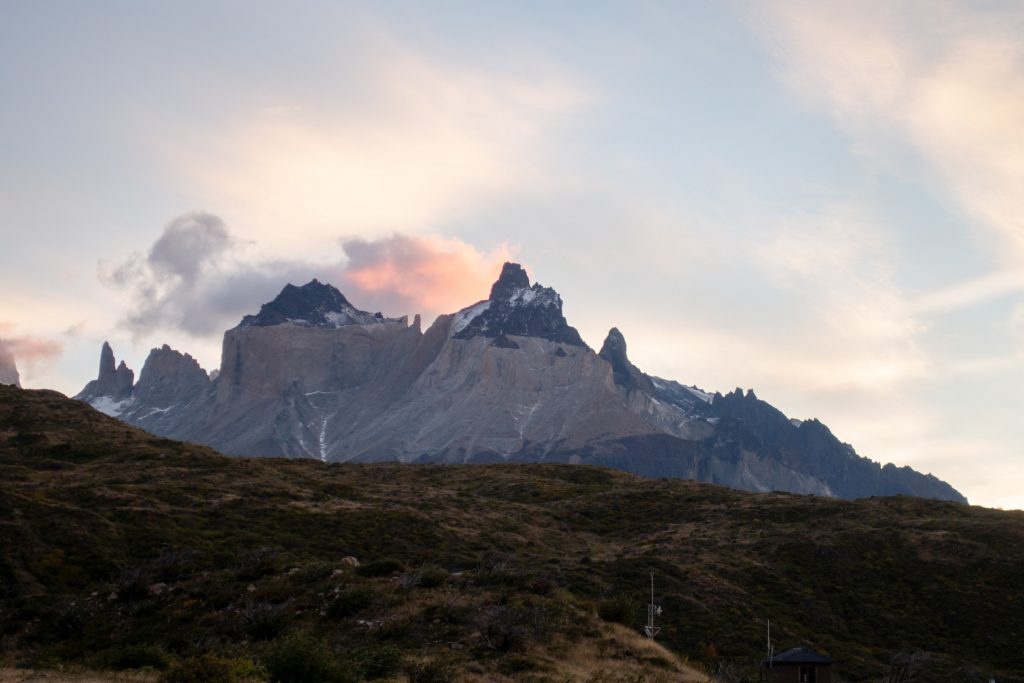
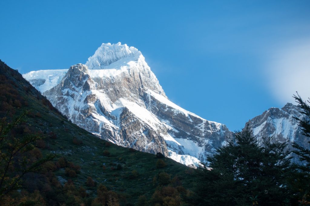
The Torres 
Torres in the mist 
The picture below is a 360 photo, click and drag to look around, scroll to zoom!
Video time! 😍
Challenge
On the way back, we decided to hide a small treasure. After the Torres, when the normal, non-rocky road begins, there is a big stone at the edge of the road, see the photo below. In the middle there is a crevice, in the crevice there is a treasure! Write us if you find it 😉
Coordinates
Latitude : -50.942719
Longitude: -72.936137
Start of the normal path 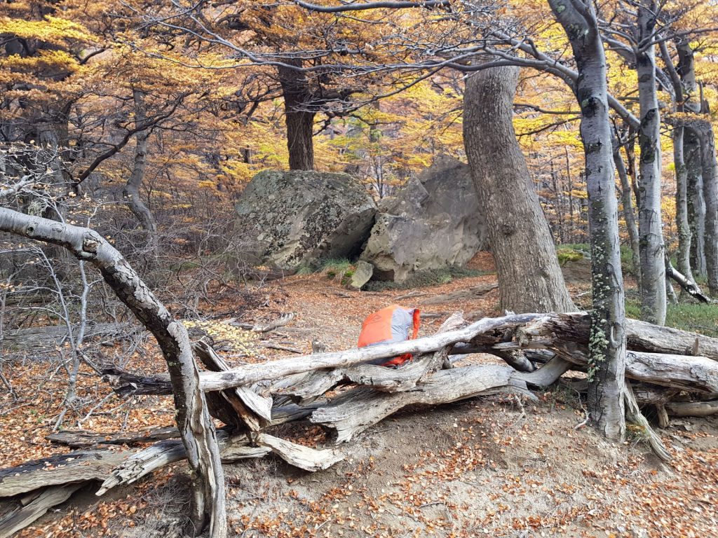
The rock
If you come back from the Torres, it will be on the right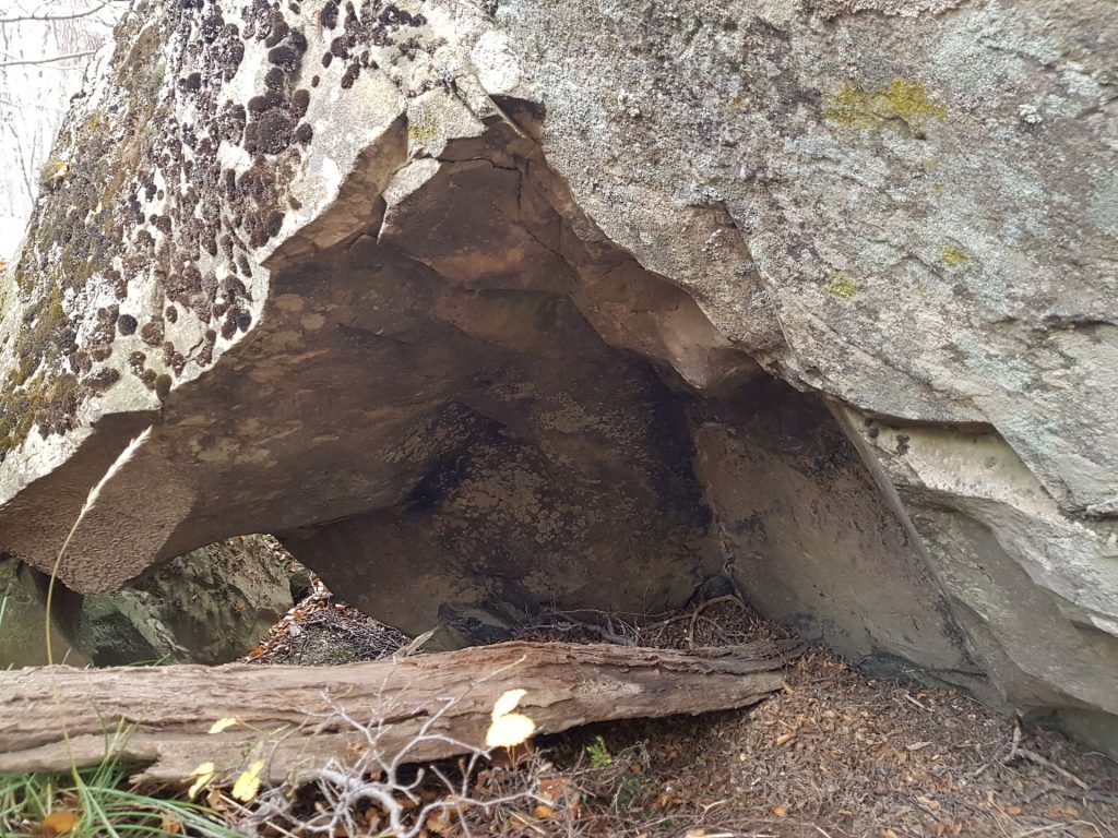
Crevice in the middle 
The actual treasure 😂
At the beginning of the hike there was jam in it
Treasure in the crack
Back to civilization, the city of Puerto Natales
Back in town, we took a couple of days to warm up, eat the lost calories, and regain the feeling in our feet.
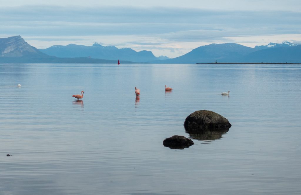
We were also lucky enough to see pink flamingos just outside the city! I never thought they would like the cold.
Monument to the mountains 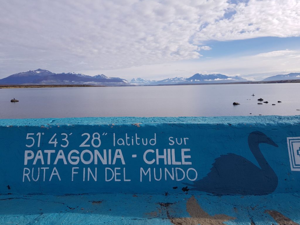
“The road to the end of the world” 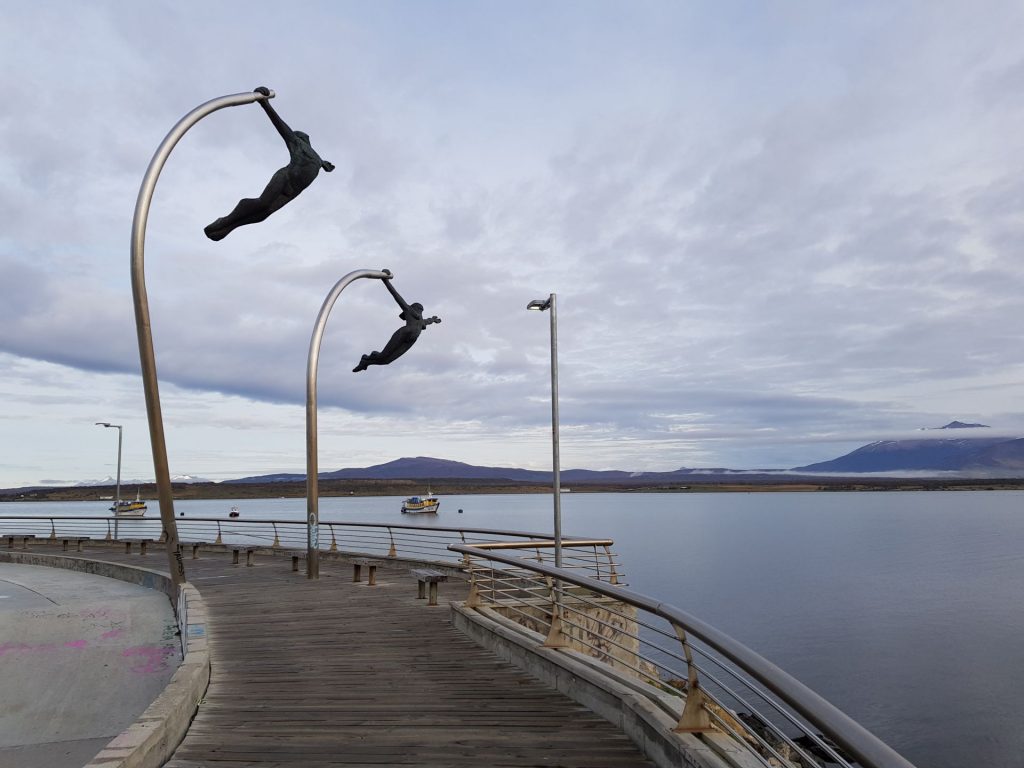
In the city with strong winds, even a monument to the wind was erected))) 

That’s the end of the world! 
We’re going to Argentina next! Read on to Patagonia, Part 2.
Useful Info
Currency
1 euro = 790 chilean peso
Housing
- Airbnb Puerto Natales – 20,000 pesos (but the room wasn’t heated, it was very cold)
- Camping fee (with your tent!) – 66,000 pesos for 4 nights for two
- Arkya Hostel, near the bus station – 18,000 peso (not perfectly warm, but much better and a good breakfast!)
Transport
- Flight from Santiago to Punta Arenas (Chile) – 4 hours – 178 euros with luggage
- Bus from Punta Arenas to Puerto Natales (Chile) – 3 hours – 9 000 pesos (bought online in advance at busbud.com)
- Bus from Puerto Natales to the national park Torres del Paine (back and forth open ticket) – 2 hours – 15 000 per person.
- Park ferry before the start of the route – 20,000 pesos per person
The entrance to Torres del Paine Park
Entrance to the park one-time = 21,000 pesos per person. So it’s cheaper to go for a few days with an overnight stay to watch everything and not pay the entrance fee twice.
Rent of camping material
There’s a lot of different agencies in town where you can rent everything. In the on-season (November – February), they say that everything sells out pretty quickly.
45,000 pesos for 5 days (we took 2 sleeping bags + cooking stove + kitchen utensils + 2 mats).
You can also rent a tent – 5000 pesos a day (2 persons), walking sticks (we didn’t take it, but at some moments we regretted it), etc, you can even rent walking boots.
We had two bottles of gas with us, but only used one. Everyone else seemed to have the same problem at the end 🙂